
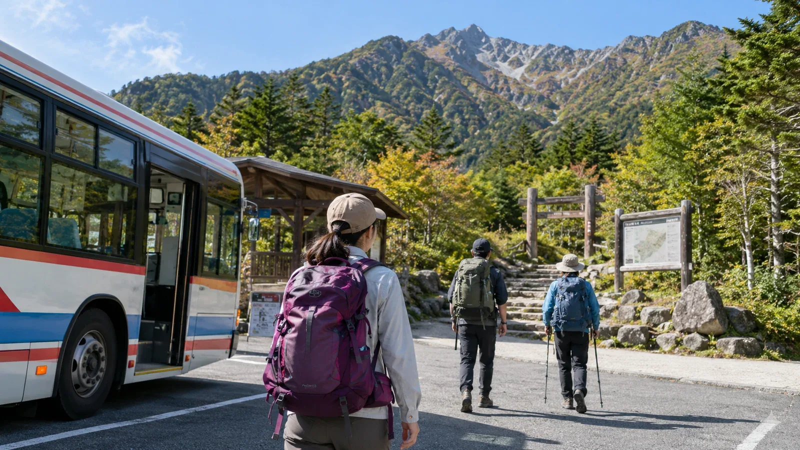
Maybe you want to hike but do not own a car, or have a licence and feel uneasy driving on mountain roads. Many trailheads in Japan are reachable by public transport alone. Around major cities in Kantō, Kansai and central Japan, trains and buses open up several areas for day hikes.
Without a car, you can start and finish at different trailheads. If you plan to traverse a mountain and come down the other side, start by checking transport at the far end. You will also be spared the drive home.
Here is how to work out whether you can get to a trail by public transport and how to plan around the journey.
Three checks for a hike by public transport
Use a map to see how far the trailhead is from the station and whether there is a walkable route. If walking is impractical, check whether a scheduled bus serves the trailhead.
Check in this order.
- Search for the mountain name along with “bus” and “trailhead” to find the operator's official website. Local and tourist bus operators publish timetables and route maps. Journey planners can help, but they may omit mountain buses. Use the operator's own information for the final check.
- Check the operating season, days of the week and number of departures. Many mountain buses run only from spring to autumn or only on weekends and public holidays. Check especially carefully for a weekday outing. Schedules may change from year to year, so confirm with the operator before leaving.
- Check the last bus and work backward to see how much time you have. Missing it can leave you stranded where there are no taxis. Set a latest time to finish the hike while you are still planning.
How to gather the information
Once you choose a mountain, follow these steps.
1. Find the trailhead on a map
Look up the specific trailhead you will use. A mountain may have several, and buses may serve only some of them. Locate yours on a Geospatial Information Authority of Japan topographic map or a hiking map app, then use the local place name to look up bus routes.
2. Connect the train and bus
Look up the journey from your home station to the trailhead bus stop in a journey planner. Mountain buses may be missing, so check the train and bus operators' own timetables. Allow time to walk from the station to the bus stop with your gear.
3. Look up the return bus first
Start with transport at the end of the hike. If buses are infrequent, missing one can leave you waiting a long time or unable to move on before dark. Allow time to make the last departure, and account for sunset and the walk to the stop when setting your latest finish time.
What makes a hike easier to choose as a beginner?
Mountains with good public transport access often share a few features. Use them to narrow down your options.
Mountains near cities offer public transport options. For Mount Takao in Tokyo, walk to the trailhead from Takaosanguchi Station on the Keio Line. For Mount Hiei in Kyoto and Shiga or Mount Rokkō in Kobe, combine buses, funiculars or other services depending on where you are going. Assess the trail difficulty separately from how easy it is to get there.
Mountains with aerial ropeways or funiculars are worth considering. A ride can shorten the walk. Check the services you need and how you will get down, as seasonal shutdowns, maintenance and bad weather may interrupt service.
Famous peaks such as Japan's 100 Famous Mountains are easier to research, but some have remote trailheads. Many are difficult to reach by public transport. Check the access for each mountain.
Preparations to avoid transport problems
Checking how buses run and deciding what to do if you are delayed make it easier to act on the day.
Save the outbound service you plan to take and the last one back. Keep the times and stop names in a note or screenshot you can open without a signal.
Check where to board and how to pay. Some routes do not accept IC cards or require you to take a numbered ticket when boarding. Carry cash, especially coins. Look up fares and payment on the operator's website.
Set a turnaround point and time in case of bad weather or delays. For example, decide to turn back if you have not reached a certain junction by a set time. Reassess sooner if the weather worsens or someone feels unwell.
Save contact details for huts and visitor information centres. Look up alternative exits and operating transport services before leaving, in case of cancellations or delays.
Where to check public transport access
These are the sources to use when planning.
- Bus operators' official websites for route maps, timetables, operating dates and fares.
- Rail operators' official websites for station access and first and last trains.
- Local authorities and tourism associations for trailhead locations, parking and seasonal information.
- Local authorities and mountain huts in the area for restrictions, closures and current trail conditions.
Weather and trail conditions can change right up to the outing. The day before, check the Japan Meteorological Agency forecast and a specialist mountain forecast if one is available for the area.
Next steps
Choose one mountain and search its name along with “bus” and “trailhead” to find the operator's information. Plan backward from the last service home. If you want to ask local hikers about a route or find someone to hike with, try Nordwand's Base Camp.