
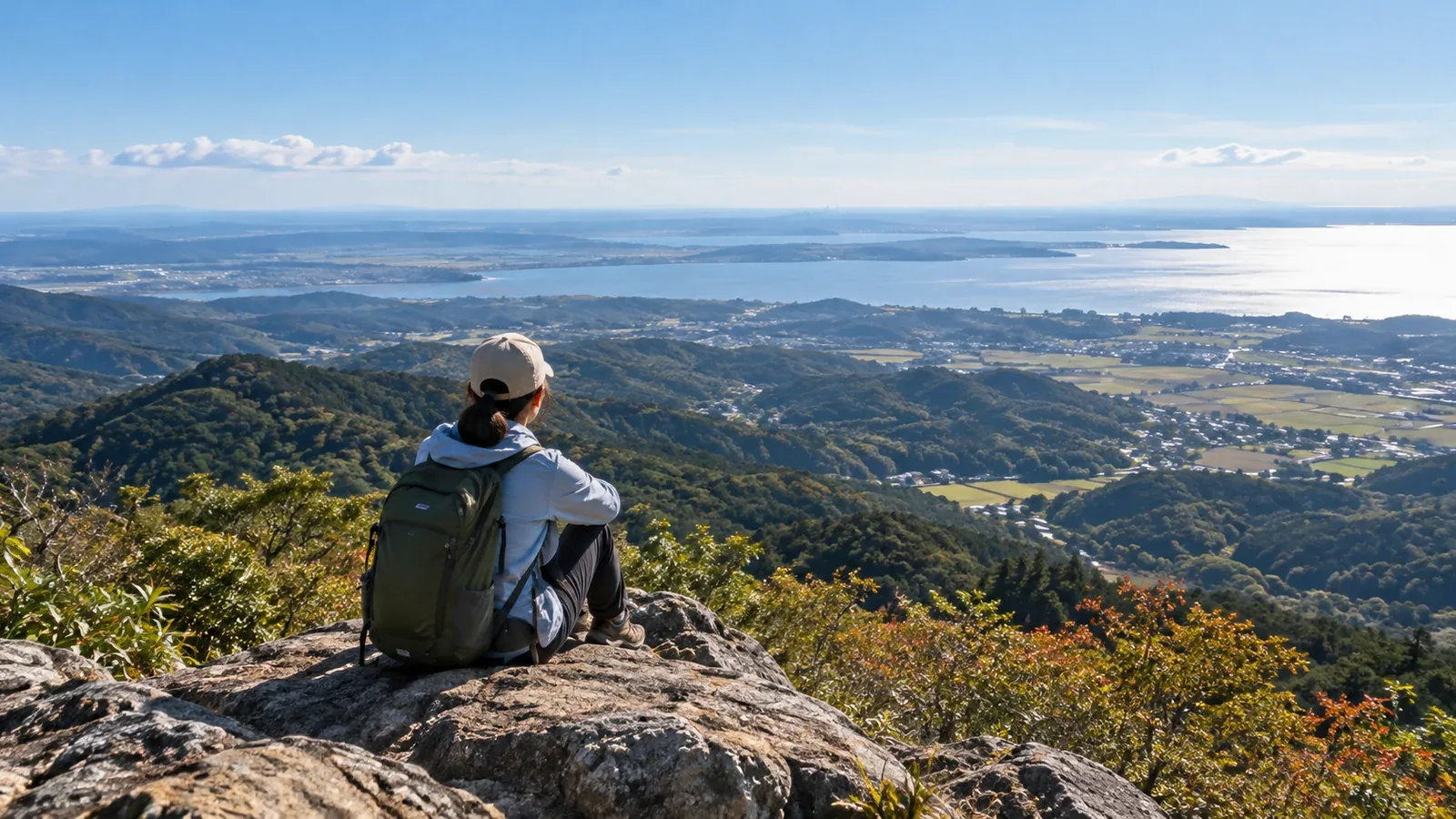
Some low mountains in Chiba and Ibaraki have wide-open views. Chiba's highest peak is Mount Atago at 408.2 metres. Ibaraki's is Mount Yamizo at 1,022 metres. Lookouts in the Bōsō Hills can overlook Tokyo Bay or the Pacific. High points on Mount Tsukuba look out across the Kantō Plain.
If you are new to hiking in the area, choosing a mountain can be the hardest part. Even at low elevations, trail maintenance, views and access vary. This guide explains the local terrain and climate, how to choose a trail with views and what to look out for on the walk.
What makes a low mountain a good place for views?
Trees can cover a low mountain all the way to the summit. Along with the elevation, check where the trail opens up.
Look for these three features before you go.
- Rocks or a viewing platform at the summit or along the trail. Exposed rock or a built lookout can open up a view even in a wooded area. The rocky summit area on Mount Tsukuba is a good example.
- Ridges with many deciduous trees. Low mountains in Kantō have both broadleaf evergreens and deciduous trees. Where deciduous trees dominate, their falling leaves can open up the view in autumn and winter. The same walk can feel very different by season.
- An opening facing the sea or plain. The Bōsō Peninsula has viewpoints over Tokyo Bay and the Pacific. Mount Tsukuba looks out across the Kantō Plain. On a clear day you may see distant landmarks such as Mount Fuji.
Check hiking maps, guidebooks and local authorities' trail descriptions for what you can see from the summit. If the summit has no view, see whether a loop passes a lookout elsewhere.
What to expect in Chiba's low mountains
The Bōsō Hills have many peaks in the 200–300 metre range. Mount Nokogiri has Tokyo Bay lookouts and old stone quarries. Around Mount Kiyosumi, you can walk through forest. Futtsu City reports that a landslide has closed a forest-road section of Nokogiri's Tokyo Bay View Trail, so it is impossible to continue through to Hota. Check the latest notice before you leave.
Keep the following conditions in mind in Chiba.
Heat and humidity. Bōsō can be hot and humid in summer, and daytime walking can be tiring even at low elevations. Autumn and winter are usually cooler, with earlier sunsets. Check the Japan Meteorological Agency forecast and the Ministry of the Environment's heat index.
Intersecting paths. Forestry tracks in the Bōsō Hills often cross hiking trails. Check your position regularly with a topographic map and a hiking map app, even on a low mountain.
Land leeches. Land leeches live in places including Chiba's national forests. In damp areas, they can get in through shoes and socks. Cover exposed skin and use gaiters if needed. If you use a repellent, check the label for what it is intended for and how to apply it.
What to expect in Ibaraki's low mountains
Mount Tsukuba's highest point is Nyotai at 877 metres. Its other summit is Nantai. It is one of Japan's 100 Famous Mountains and has several trails. Check the trail map and Tsukuba City's guidance for rocky stretches, steep slopes and bottlenecks. The funicular and the aerial ropeway have different boarding points. Check service with the operator.
Away from Tsukuba itself, the Okukuji area in northern Ibaraki and the Tsukuba Mountains in the south have hikes of low to moderate difficulty.
Wind on ridges and summits. Where a mountain rises from the plain, as Tsukuba does, the ridge and summit can be windy even when the foothills are calm. Bring a windproof layer and reconsider the plan if the wind is strong on site.
Wet rock. Rock, roots and soil can get slippery with rain or dew. Wear footwear with grip suitable for the surface, and take shorter steps and check your footing on wet rock.
Winter ice. Even low trails can ice up in shaded stretches or early in the morning. If you lack equipment and skills appropriate to the ice and slope, turn back or switch to an ice-free trail.
Choosing a time and season for the views
The time of day and the season can make a big difference on the same mountain.
Choose a time with good visibility. Clouds, fog and haze change what you can see. Some mornings are clearer. Use the forecast and local conditions to decide when to go.
Check the forecast after rain. Visibility sometimes improves after rain. Check the Japan Meteorological Agency forecast, and allow for mud and wet rock even after the rain stops.
Leaf-off season from autumn to winter. Ridges with deciduous trees can open up when the leaves fall. The Bōsō Hills also have autumn colour. In winter, allow extra time for the return before the early sunset.
Choose a cooler time of day in summer. Check the heat index and heatstroke alerts. Consider postponing or cancelling if dangerous heat is forecast.
Essential gear for beginners
Even at low elevations, leaving essentials behind increases the risk of getting lost, falling or becoming chilled. Start with the following.
- Footwear. Choose well-fitting shoes with good grip on rock and mud.
- Rainwear. Carry separate rain trousers and a rain jacket. Mountain weather can change quickly.
- Water and food. Check whether you can buy supplies or refill water. Carry enough for the planned time and temperature, with extra for delays.
- Map and compass, or a GPS app. Check your position around forestry tracks and junctions in Bōsō. If you use an app, save the map in advance and prepare for a flat battery.
- Headlamp. Carry one even on a day hike in case you are out after dark.
Next steps
Choose a mountain and check trail access and transport with the local authority or trail manager. Look at the forecast the day before and again in the morning. Consider postponing if heat or strong winds are expected. Nordwand's Base Camp can connect you with hikers who know the area. Going with someone experienced can help you judge junctions and footing in unfamiliar terrain.
References
- Japan Meteorological Agency forecasts and Ministry of the Environment heatstroke prevention information
- Official hiking information from Chiba Prefecture and its municipalities
- Official hiking and tourism information from Ibaraki Prefecture and its municipalities
- Mountain incident statistics from the National Police Agency and prefectural police
References and sources
- Chiba Prefecture: terrain of the Bōsō Hills
- Daigo Town: Mount Yamizo and Mount Daijingū hiking routes
- Futtsu City: Mount Nokogiri trails and closures
- Kantō Regional Forest Office: protection from ticks and land leeches
- Ibaraki Prefecture: Suigō-Tsukuba Quasi-National Park
- Tsukuba City: information for Mount Tsukuba hikers
- Tsukuba Tourist Railway: getting to the funicular and ropeway
- Japan Meteorological Agency: weather forecasts
- Ministry of the Environment: heat index and heatstroke alerts
- Chiba Prefectural Police: preventing mountain accidents