
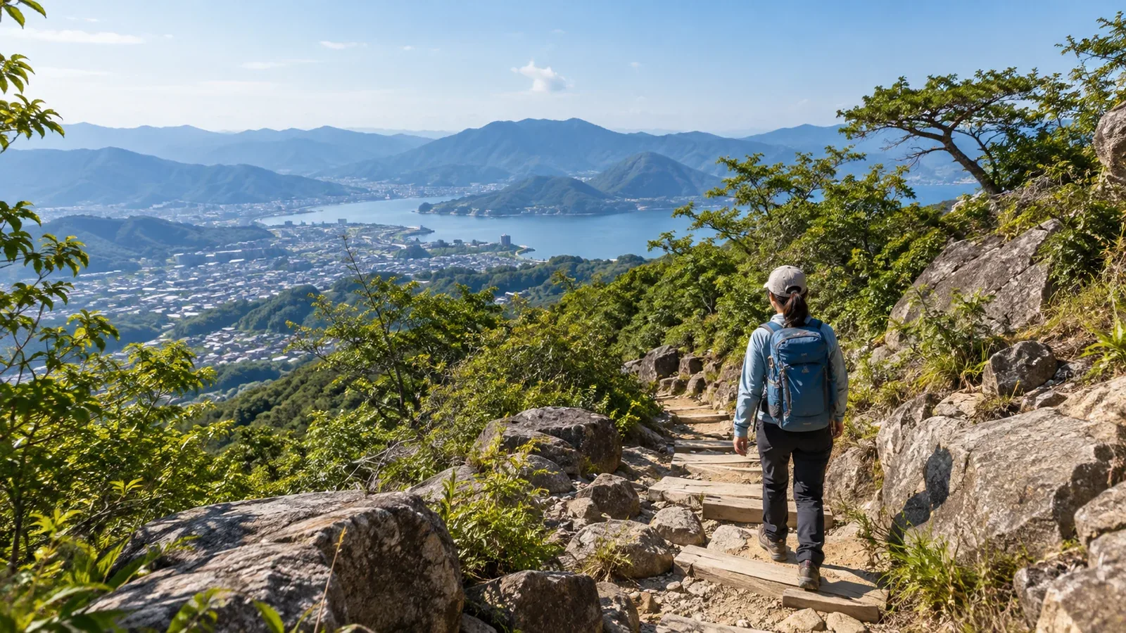
Can you get to the mountains without a car? It’s a question many new hikers ask. Japan has mountain hikes you can reach by train, including trailheads less than 30 minutes from a station. The details vary. Some trails are a short walk from a station, while others take two hours by train and bus.
Here’s how to find and compare routes based on where you’re starting, your fitness and what you want to do.
What does “close to a station” actually mean?
A convenient rail-access hike has three parts to consider.
First: travel time and transfers from your starting station. Check the journey time and how many changes you need. In the Tokyo area, for example, take the Keio Takao Line to Takaosanguchi. The Kiyotaki cable car station is about a five-minute walk from there.
Second: from the nearest station to the trailhead. Check whether you can walk or need a bus or taxi. One way to reach Kamikōchi, for example, is to change to a bus at Shin-Shimashima Station.
- Trailheads about 10 to 20 minutes on foot from a station
- Hikes that require a bus or taxi, with few bus departures
- Hikes that rely on seasonal shuttles or mountain buses
Third: from the trailhead to the summit. A station can be close while the summit is still five hours uphill. Calculate the approach to the trailhead separately from the time on the mountain.
Consider all three when choosing a mountain you can reach by train.
Why the bus connection matters
The bus from the station is easy to overlook. A trailhead might look walkable in an app, but the actual route could be 5 km or more, or follow a main road without a proper pavement.
When checking the bus, look at three things.
- Frequency: If a route has only two or three buses a day, missing the last one can leave you with few options.
- Seasonal service: Some buses run only at certain times of year, such as from spring to autumn.
- Extra services: There may be more buses during the autumn foliage or opening season, but arrangements can change from year to year.
Check current timetables on the bus operator’s official website or the municipality’s hiking or tourism page. Search for the town closest to the trailhead and “hiking bus.”
How to narrow down your choices
Use these steps to look for your own train-access hikes.
1. Pick a starting station and set a travel time limit
The time you can spend in transit depends on whether you are hiking for the day or staying overnight. Choose a finish time that leaves a margin before sunset. Work backward from there, allowing for the walking time, breaks and delays, to get the latest time you can start hiking. Look for a train and bus that get you to the trailhead in time.
2. Compare railway maps with the locations of hiking areas
Search a map for “trailhead” or “hiking route” as you follow railway lines. In Kantō, possible starting points include the Chūō, Odakyū, Tōbu and Seibu lines. In Kansai, try the Hankyu, Kintetsu and Nankai networks. Which line works best depends on where you start.
3. Check the walking time from the trailhead
Look up the walking time, distance and total elevation gain for the round trip or traverse, and check that they suit your fitness. Use local government route descriptions or hiking maps for the route and GSI Maps for terrain and locations. On unfamiliar trails, allow extra time for breaks, navigation and trail conditions.
4. Work back from the last train or bus
Work out when you need to finish to catch the last bus or train, including the walk to the stop or station and any transfers. Compare it with your safe finish time based on sunset and plan with a buffer around the earlier one. Set a turnaround time based on your pace and the conditions.
What makes a hike suitable for rail access
Some types of mountains tend to work better with a walk or a bus from the station.
Low hills near settlements. Trailheads are often close to villages. If public transport serves the village, you may be able to walk straight to the trail.
Mountains close to cities. Some are a short journey from a city and have services for visitors and hikers. Popular destinations may have more options in season.
Mountains with cable cars or visitor facilities. Buses sometimes stop at the lower cable car station. Allow for crowds and queues, and check the last bus after you come down.
Point-to-point routes that finish near a station. If your route starts in one place and ends in another, a station near the finish makes the trip home easier. You can use a different mode of transport to reach the start if necessary.
Details that are easy to miss
The closest station to the mountain may be far from your trailhead. A search by mountain name may show a station that serves a different side of the mountain. Pick the trail first, then check transport to its actual trailhead.
Access changes with the season. Extra buses may run during the summer hiking season and become less frequent later in the year. Autumn crowds can also delay buses. Check the timetable for your date.
Ways to leave in bad weather. Bad weather can delay or cancel services, and an early descent may mean a long wait for the next departure. Check the operator’s service notices, which waiting rooms or facilities will be open, and which routes you can use to get off the mountain.
Next steps
From your starting station, find two or three stations within a comfortable journey that give you access to a trailhead. Check the walking route and bus times on official sites, and compare how much time each hike leaves before sunset and the last connection. In Nordwand’s Base Camp or its interest-based communities, you can ask hikers who’ve made the trip by public transport.
References
- Geospatial Information Authority of Japan: GSI Maps
- Japan Meteorological Agency: regional forecasts, warnings and advisories
- National Police Agency: annual mountain incident reports
- Official hiking and tourism pages of prefectures and municipalities
- Official timetables from rail and bus operators
References and sources
- Takao Tozan Railway: walking from Takaosanguchi to Kiyotaki Station
- Keio Railway: the Takao Line and route map
- Alpico: Matsumoto and Shin-Shimashima to Kamikōchi, route and timetable
- Yamanashi Prefecture: safe hiking guidelines
- Yamanashi Prefecture: hiking route grades
- Geospatial Information Authority of Japan: GSI Maps
- Japan Meteorological Agency: weather forecasts
- National Police Agency: mountain incident statistics