
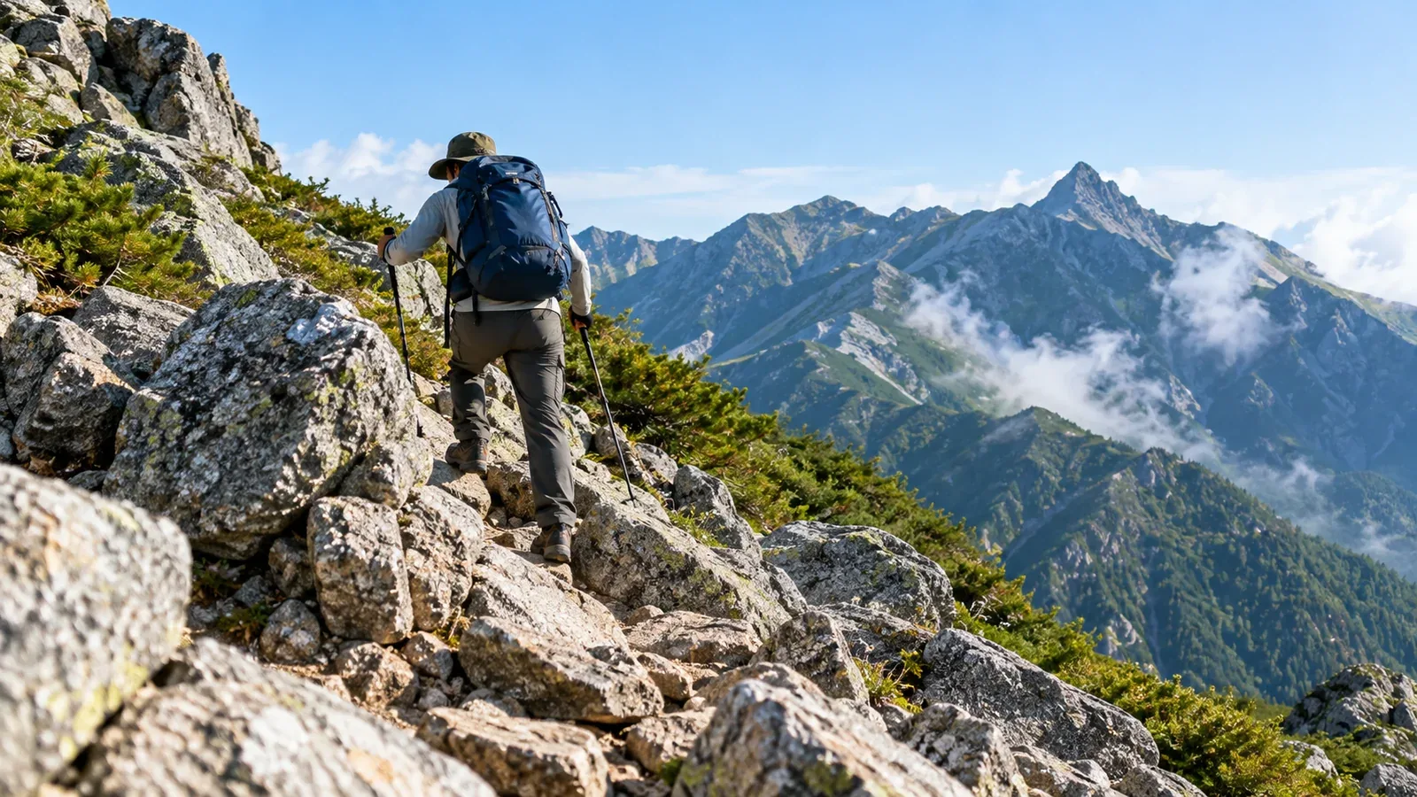
On trails of the same grade, the sole of your boot may grip rough rock on one and shift on gravel with every step on another. Rock type helps you picture the trail in advance. On the ground, look for moisture, weathering, and stable places to put your feet.
Let’s look at rocks you may encounter in Japan’s mountains and how rock surfaces and loose fragments affect the way you walk.
Three ways rocks affect your footing
Whether you’re reading a geological map or choosing where to step, pay attention to the rock’s texture, moisture, and tendency to break or move.
Texture and grip. A rough surface may give your soles more grip. A polished face or a layer of loose sand can feel quite different, even on the same type of rock.
Water and moss. A step that holds on dry rock can slip after rain or dew, or on a patch of moss. Inspect shaded rocks and places where water runs before stepping.
Crumbly rock and loose stones. Weathered rock and piles of small fragments can shift under your weight. Cracks or stones rolling from beneath your foot are clues to reassess the surrounding footing.
Granite: Rough rock and weathered sand
Granite is an intrusive igneous rock that forms as magma cools underground. Quartz, feldspar, and mica crystals are often visible to the naked eye. Granite occurs in parts of the Northern Japanese Alps and the Okuchichibu Mountains.
A dry, rough face can give your soles a good grip. Your foot placement, the angle of the rock, and whether there’s sand on it also affect how easy it is to cross.
Take care on surfaces wet with rain or dew and on mossy patches. Allow extra time on routes with long stretches of granite after rain. If you can’t find firm footing, turn back from a safe position.
Sand-like material left by weathering granite is called grus, or masa in Japanese. On steep slopes covered with sand and small stones, your feet may sink on the way up, and grains can shift beneath your soles on the way down.
Andesite and basalt: Lava and loose volcanic gravel
Andesite and basalt are volcanic rocks that form when magma cools at or near the surface. Mount Fuji, for example, has extensive basaltic lava, while andesite occurs at Mount Asama.
These rocks can contain conspicuous large crystals, but the surrounding material is often fine-grained. Solidified lava may be rough, cracked, or smooth-looking.
The Ōsunabashiri section of Mount Fuji’s Gotemba descent trail crosses a long stretch of volcanic gravel. The gravel includes scoria, volcanic fragments full of cavities. Where the ground shifts and it’s hard to stop, slow down and follow the marked descent route and local instructions.
Solidified basaltic flows can have rippled surfaces and sharp fractures. Choose firm footholds and shorten your stride before reaching sections where a fall could send you onto the rocks.
Limestone and chert: Grooves and hard fragments
Limestone is a sedimentary rock rich in calcium carbonate. Some limestone forms from accumulations of shells and other marine remains. In Japan, it occurs at Akiyoshidai in Yamaguchi and in parts of Shikoku. Chert is also sedimentary. Some chert comes from the shells of tiny organisms such as radiolarians.
Water containing weak acid can dissolve limestone and leave grooves and holes. Where grooves cross the rock, check how much room you have for your foot and whether water has collected. Take care on wet faces and around cracks that could trap a foot.
Chert is hard and can break into sharp fragments. On a pile of angular stones, watch for shifting pieces. If unstable rock lies overhead, choose carefully where to stop.
Metamorphic and sedimentary rocks: Fractures and weathering
Gneiss and crystalline schist are metamorphic rocks formed under heat and pressure underground. Where rocks split into plates along aligned minerals, thin fragments can pile up and shift underfoot.
Sandstone, mudstone, and shale are sedimentary rocks. In some places the trail crosses solid sandstone. Elsewhere, fine particles from weathered mudstone or shale become wet and make the trail muddy.
The same rock can be easier or harder to cross depending on moisture, slope, weathering, and moss. Use the map as a guide and base your decision on the ground in front of you.
What to check before you go and on the trail
Use the Geological Survey of Japan’s GeoNavi to get a general idea of the rocks in the area. Check the map scale and legend, then compare with trail notices and descriptions of rocky ridges, loose slopes, and lava fields.
On the trail, pause on stable ground and look for your next foothold.
- Look at color and grain. Color and crystals offer clues to the rock type. Different rocks can look similar, so compare what you see with the geological map.
- Check for moisture and moss. Look for water, moss, or loose sand and gravel on the surface. Choose a dry, stable foothold.
- Avoid stones that look loose. Where you see cracks or loose stones, choose firm footing without pushing or kicking the rocks.
- Check above and below for people. Follow local instructions in rockfall areas and avoid stopping in the path of falling rocks. Bring a mountaineering helmet on routes with extensive rocky sections.
If you can’t find firm footholds and the section looks too hard to cross, turn back from a place where you can retreat safely.
Before your next hike
Find your mountain in GeoNavi and compare the map with the rocky sections and gravel slopes in your route description. After rain or when ice is possible, check trail reports from mountain huts or land managers.
Sources
- Rock classification, granite weathering, and sedimentary rocks (U.S. Geological Survey)
- Geological maps of Japan (Geological Survey of Japan)
- Gotemba and Ōsunabashiri, loose stones, and rockfall (Official Mount Fuji Climbing Website and Nagano Prefecture)
References and sources
- Geological Survey of Japan: GeoNavi geological map viewer
- U.S. Geological Survey: The rock cycle and rock classification
- U.S. Geological Survey: How granite weathers
- U.S. Geological Survey: What are sedimentary rocks?
- Geological Survey of Japan: Eruption history of Mount Fuji
- Geological Survey of Japan: Eruption history of Mount Asama
- Official Mount Fuji Climbing Website: Route comparison and the Gotemba Trail
- Nagano Prefecture: Guidance for natural park visitors and hikers
- Nagano Prefecture: Mountain areas where helmets are recommended