
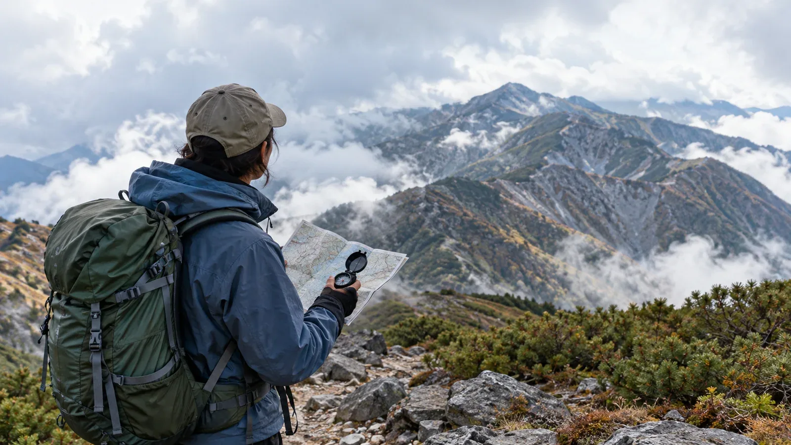
A mountain emergency can start with a change that seems manageable: a missed turn, a slower pace or the first chill after rain. Each change affects the choices you’ll have later. Catch it early and you have more room to act.
These examples draw on hazards documented by Japan’s National Police Agency and official hiking guidance. The sequences are illustrative. Use them to recognize a problem early and decide when to change the plan.
Why it helps to recognize the sequence
An unclear junction can seem like a brief detour. Wet clothes may feel tolerable while you’re moving. In both situations, the earliest sign is easy to explain away.
It’s natural to expect the hike to go as planned. Fatigue, hunger and time pressure can also make it harder to pause and reassess. Use what you can observe: a missing landmark, slower pace, poor balance or worsening weather.
Ask whether the next step gives you more options or fewer. A short stop to check the map or put on dry insulation can keep the problem from getting bigger.
Four situations that can lead to an emergency
From missing a turn to a fall
Getting lost is a major category in Japan’s annual mountain incident figures. The police report for 2025 counted 1,119 of 3,623 people involved under this category.
A hiker misses a junction and continues to look for the trail. The ground becomes steeper and harder to cross. When daylight runs low, a shortcut down a slope can lead to a fall.
Stop at the first mismatch between the map and the ground. Retrace only a known, safe stretch to the last confirmed point. If you cannot do that safely, stay somewhere secure and call 110 or 119 in Japan.
Fatigue that leaves you unable to continue
A quick start can use up the energy and attention you need for the descent. A good forecast or a fast climb tells you little about how the group will move later.
Look for repeated stumbles, difficulty placing feet or a slowing pace. Stop in a safe spot to rest and reassess before the next difficult section.
Check the group before the high point or the main ridge, while turning back is still practical. Estimate descent time using the terrain and the pace of the slowest person. Take an easier exit or turn back before the remaining route becomes too difficult.
Changing weather and hypothermia
Weather can change while you’re still on exposed ground. Check local forecasts and watch for falling temperature, wind, rain or an approaching storm. Move toward a known safe option early if you can.
Wet clothing and wind can cause hypothermia even above freezing. Watch for persistent shivering, clumsy hands, difficulty walking, confusion or unusual drowsiness. A decrease in shivering in someone who is still cold can be a serious sign.
Get out of wind and rain, insulate from the ground and replace wet clothes with dry layers when you can do so under shelter. Give a warm drink only if the person is fully alert and can swallow. Call 119 for confusion, impaired movement, deteriorating symptoms or inability to reach safety.
Running late and facing darkness
As the group runs late, the urge to push on can grow. A headlamp helps you see the next step, but it can leave junctions, trail edges and hazards out of view.
A trailhead can be close on the map while a steep, rough or unclear section still lies ahead. Check the remaining terrain and available light before committing.
Allow daylight for delays and set a turnaround time that suits the route. If darkness makes the way ahead unsafe, stop somewhere stable and sheltered, call for help when needed and follow the dispatcher’s advice. Carry an independent light and emergency shelter in case you have to wait.
When you catch yourself thinking “just a bit farther”
The same thought can arise at a missed turn, in worsening weather or when someone starts to stumble. Treat it as a prompt to look again.
Ask which fact you’re relying on. Check the map, the clock, the group’s condition or the latest trail report before moving.
Set specific turnaround points before you leave: for example, turn back if the group has not reached a named junction by a set time, or change route if a stream is rising. Share the conditions so anyone can speak up.
Three checks before departure
Use the route, group and forecast to decide how much room the plan leaves for a change.
1. Weather and daylight: Check the Japan Meteorological Agency forecast and local trail notices the evening before and before setting off. Plan back from sunset and add time for breaks, navigation and slower terrain.
2. Equipment for delays and poor conditions: Carry wind and rain protection, dry insulation, emergency shelter, a map and compass or suitable offline navigation, and a headlamp with a backup. Know how to use the equipment.
3. A hiking plan and a way to call: Use the accepted filing method for the area, give a copy to someone off the trip and agree on a check-in. Check coverage and plan how to call 110 or 119 if needed.
Before your next hike
Add one specific turnaround point to the plan and tell everyone what it is. Check where to file the plan on the prefectural police or local authority website. Nordwand’s route notes and Base Camp discussions can help you prepare for what you may encounter.
Sources
- National Police Agency: mountain incidents in 2025
- Japan Government Public Relations: hiking safety and rescue
- Japan Meteorological Agency: forecasts and warnings
- Wilderness Medical Society: accidental hypothermia guidance