
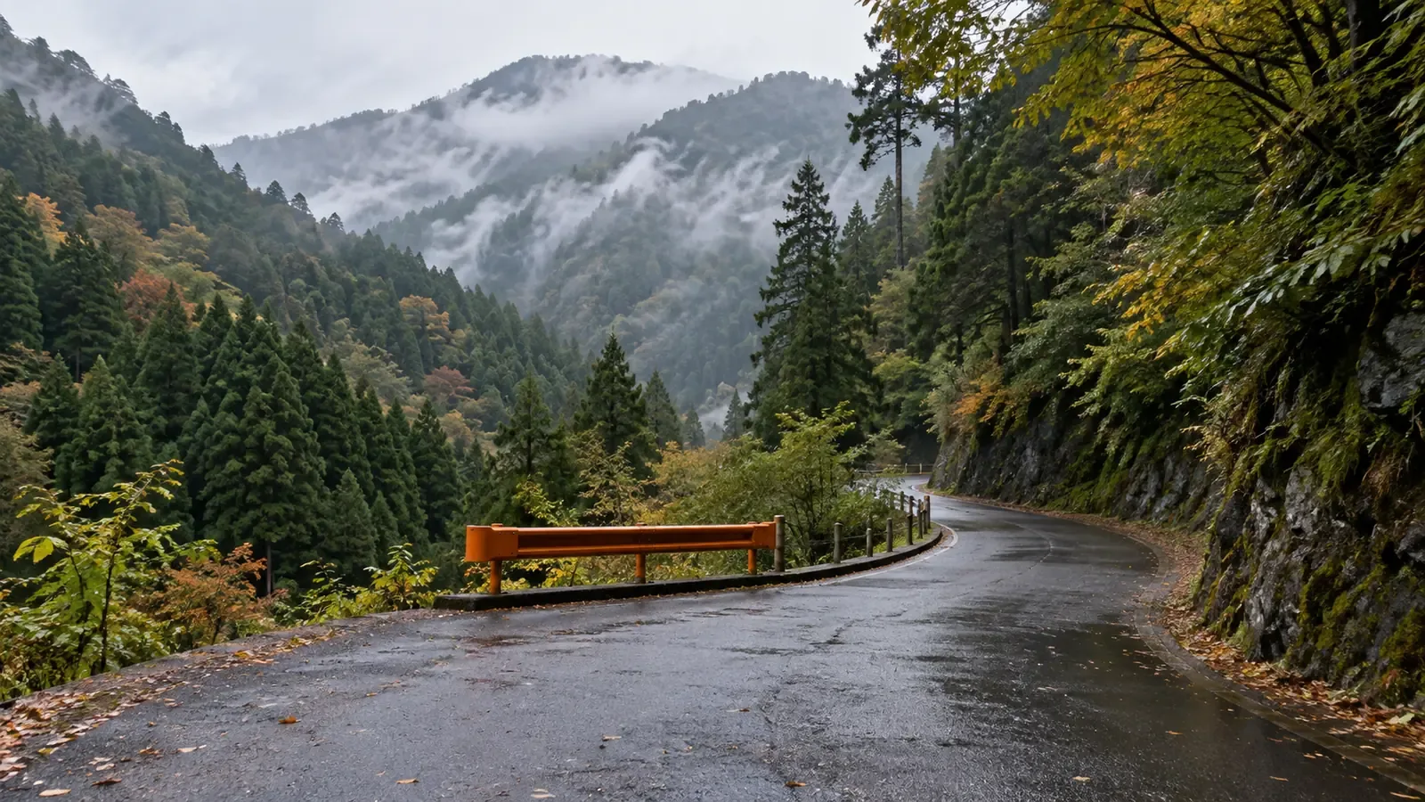
On the evening of August 8, 2026, a debris flow cut the road to Nakabusa Onsen in the Northern Japanese Alps. The hot spring area is a starting point for Mount Tsubakuro and the Omote Ginza traverse. Hundreds of people were stranded in huts and lodging. A hiker told NBS that the organized evacuation involved descending a metal ladder and walking beside a rock face after a temporary crossing was installed. When planning a hike, check the weather, trail and walking time, and include the road you need to get there and back.
The Debris Flow Cut the Only Access Road
In Hotaka, Azumino, 54.5 mm of rain fell in the hour to 8 p.m. on August 8. A debris flow reached the Kurokawa Bridge on Prefectural Route 327, known as the Nakabusa road, about 1.5 km past the Miyagi Gate. It swept away part of the bridge. At 8:30 p.m. Nagano Prefecture closed the roughly 12 km section from the gate to Nakabusa Onsen. The city listed no detour.
At 2 p.m. on August 9, Azumino reported 267 guests and staff at Enzansō, Ariakesō and Nakabusa Onsen. The count came from the facilities and reflected what the city knew at that time.
The prefecture set up a temporary footbridge around 3:30 p.m. on August 9. The organized descent on foot followed, around 4 p.m. By 4:50 p.m. on August 10, according to the prefecture, everyone who had chosen to descend had done so. Some staff remained at huts and lodging facilities for work.
What the Temporary Reopening Allowed
Provisional passage for pedestrians and vehicles began at 5 a.m. on August 22. From September 18, 2026, the announced hours were 5 a.m. to 6 p.m. daily for vehicles up to 2.20 m wide, up to 3.0 m high and under 8 tonnes in total weight. In its November 9 update, Azumino listed a winter closure from 3 p.m. on December 1, 2026 through April 23, 2027, subject to weather. Check official notices before setting out and again before the return.
Through September 11 the regular Nakabusa Onsen bus used a temporary timetable with a transfer to a large taxi at the Ariakesan Shrine parking lot. The Azumino Tourism Association announced that direct minibus service would resume September 12. The published 2026 season ended November 3. Check the operator and road notices for your travel date.
The prefecture and city warned that rain could trigger another debris flow in the Kurokawa stream. The road closed again at 3:30 p.m. on September 9 when rainfall reached the threshold. It reopened at 8 a.m. the next day. Conditions can change during the published hours.
Why Roads and Trail Approaches Can Stay Closed
Many trailheads sit at the end of a valley with several stream crossings. The damaged Kurokawa Bridge served a road with no alternative. One broken link can isolate a trailhead, mountain huts and lodging at the same time.
Some repairs take years. Typhoon Hagibis severely damaged the forest road between Hirogawara and Kitazawa Pass in October 2019. Yamanashi still listed no through passage in 2026, including on foot, and no expected restoration in fiscal 2026. Where permitted outside winter, short sections from either end do not provide a way through. Hikers looking to reach Mount Kaikoma or Mount Senjō from the Yamanashi side had to consider other approaches.
A foot route can also be a crucial connection. Hakuba initially closed the Daisekkei route at the end of August 2026 after heavy rain accelerated snowmelt. It then kept the closure in force from September 16 through the end of the 2026 season, pointing hikers toward Hakuba Yari Onsen or Tsugaike. A different approach can change the ascent, total time and hut options. Check the complete alternative itinerary before committing to it.
What to Put in Your Plan If Access Might Close
The National Police Agency recorded 129 mountain incidents and 13 deaths in Nagano during July and August 2026. Its provisional table also lists one person missing. Nakabusa highlights a separate planning risk: access can be cut while a trail itself is still passable. Allow for getting to the trailhead and for leaving it safely.
In the same city, the Ichinosawa forest road to Mount Jōnen was under separate restrictions. On November 9, Azumino projected that repairs would finish in January 2027 and announced a winter closure from 10 a.m. on November 27, with the possibility of an earlier closure if snow or ice developed. Before that closure, only local taxis could pass the gate to the damaged section. Pedestrian access from there was conditional, with about 1.5 km to the trailhead. Check access for the exact trailhead, day and means of travel.
Alongside escape routes on the trail, write down what you will do if you cannot reach or leave the trailhead. The editorial team suggests four checks.
- Check road restrictions again that morning. Notices may change after you have looked at the forecast. Check the prefectural road office or municipal updates.
- Check the forecast for your return day. Look at weather and restrictions for the roads you will use after coming off the trail.
- Plan what you would need if you had to wait. Identify available shelter and allow for extra food, water and the cost of an extra night.
- Tell a trusted contact when to raise the alarm. Share the itinerary, expected return and how you will contact them. If you need rescue in Japan, call 110 for police or 119 for fire and ambulance without waiting to reach your contact. If you can wait safely in a facility, follow local instructions and update your contact. Agree when they should contact police if they cannot reach you.
At Nakabusa, huts and hot-spring lodging provided shelter while people waited for the temporary bridge. Check where you could wait, which facilities will be open and whether you can count on shelter, water, food and warmth.
Check Access for Every Trip
The August 8 debris flow showed how damage to one bridge can isolate trailheads, huts and lodging. Reopening brought time and vehicle limits, and rain still brought closures. Even a route on foot, such as the Daisekkei, can close as snow and ground conditions change.
Check whether the access road will be usable on both the day you arrive and the day you return. Read the latest notices and have a way to change the plan, just as you would for the weather.
A recent report from another hiker can alert you to a change. Nordwand is one place to compare observations. Verify access with the prefecture, municipality or road operator before making a decision.
References and sources
- Yama to Keikoku Online, debris flow cuts the road to Nakabusa and Mount Tsubakuro
- Nagano Prefecture, closure of the Nakabusa road after the debris flow
- Nagano Prefecture, August 17, 2026 notice on temporary reopening
- City of Azumino, timeline of the closure and temporary reopening
- City of Azumino, Northern Japanese Alps access and road conditions
- Azumino Construction Office, road restrictions
- Azumino Tourism Association, resumption of regular bus service to Nakabusa Onsen
- Shimin Times, bridge damage, stranded visitors and a broken hot-spring pipe
- NBS Nagano, debris flow and evacuation via a temporary crossing — Source link currently unavailable
- Enzansō Group, provisional access on the Nakabusa road from August 22, 2026
- Village of Hakuba, closure of the Daisekkei route
- Minami-Alps Tourism Association, 2026 mountain bus service
- Nagano Asahi Broadcasting, mountain incidents in the 2026 summer season — Source link currently unavailable
- Nagano Prefectural Police, mountain information and sharing a hike plan
- National Police Agency, July–August 2026 mountain incidents
- City of Minami-Alps, 2026 access restrictions
- Government of Japan, mountain emergency numbers
- Azumino Tourism Association, seasonal bus schedule
- Yamanashi Prefecture, restrictions on the forest road