
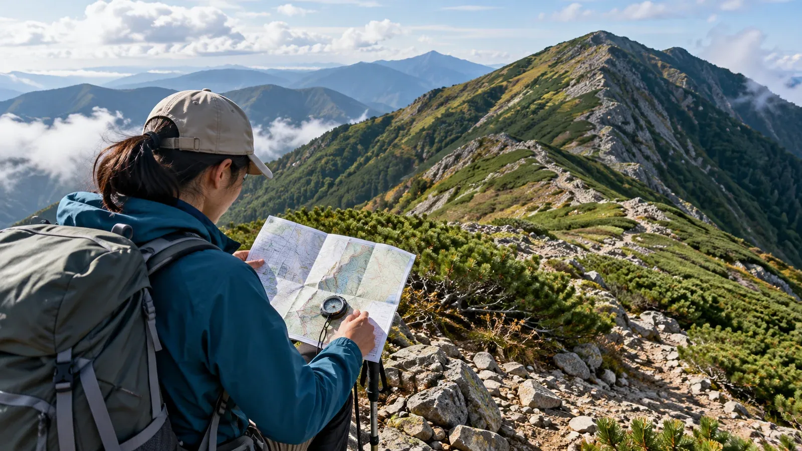
Getting lost was the most common category in Japan’s National Police Agency figures for 2025. It accounted for 1,119 of the 3,623 people involved in mountain incidents. A wrong turn can feel like a small mistake at first. Continuing while unsure uses up daylight and energy, even for experienced hikers.
A map and GPS can help if you stop and compare them with the terrain. Look at how a mistaken assumption can lead you farther off route and build checks into your plan and your time on the trail.
How small navigation errors build up
A wrong turn often starts with an assumption about where you are. If you are convinced that you are still on the ridge trail, you may explain away a junction you expected or assume a fading track is normal.
This is a form of confirmation bias. Fatigue, hunger and pressure to make up time can make it harder to question your first impression. When the terrain differs from what you expected, stop and look for information that can rule out your guess.
Know where you are most likely to lose the trail
Identify tricky stretches before you leave so you can check more carefully when you reach them.
Terrain that can be hard to read
- Ridge junctions. Two branches can both have tracks. Compare the map, the direction of each ridge and any signs. A turn can look different on the way down.
- Gentle wooded slopes. The landscape may look similar in several directions. Animal tracks can cross or resemble a hiking trail.
- Ridges in fog or snow. Landmarks can disappear and snow can cover the trail. Check position and direction independently of tracks or tape. If you cannot navigate safely, turn back before entering.
- Streams and gullies. High water can change a crossing. An unmarked gully may steepen or end at a waterfall, leaving you without a safe way out.
Conditions that make a wrong turn easier
- Late in the descent, when you are tired and keen to finish.
- You have walked through several changes in terrain without checking your position.
- You pass a junction or sign based on a guess.
- You are running late and feel pressure to hurry.
What to prepare before the hike
Use a current map, download it for offline use and carry a backup you can use. Review the route and the points where you will check your position.
Mark places where the route is easy to miss
Note ridge forks, junctions in forests and stretches where fog or snow could obscure landmarks. Write down what you expect, such as “the next junction branches east,” so that a mismatch stands out.
Check magnetic declination for the area
With a compass, account for the local difference between magnetic north and the map’s north. It varies with location and time. In the Geospatial Information Authority’s 2020 chart, magnetic north was about 10° west in Sapporo and 6° west in Naha. Check the current chart or the notation on a recent 1:25,000 map for your route, then mark it or set the compass if you know how.
Decide when to turn back
Before starting, agree on a clear condition, such as turning back if you have not reached a named junction by a certain time. Allow for daylight, weather and the group’s pace. Make sure everyone knows the cutoff.
How to check your position as you walk
Check regularly while you know where you are. A paper map and compass or an offline GPS map work best when you use them before uncertainty builds up.
- Check at changes in terrain and at regular intervals. At junctions, summits and saddles, compare your location with the map and confirm the path you are taking.
- Look ahead on the map. Identify the next feature, such as a descent, a stream crossing or a saddle. If it does not appear as expected, stop and investigate.
- Stop when something seems wrong. Recall the last point you can identify with confidence. Check your map and GPS position from safe ground before moving farther.
- Retrace your steps only if you can do so safely. Go back to the last confirmed point if you can recognize the way and have enough light and ability. If returning is unsafe or the way is unclear, stop and seek help.
What to do if you are lost
Stop in a safe place and assess your location, conditions, remaining daylight and the group’s ability to move. Avoid making the situation worse by guessing.
Do not descend an unfamiliar stream or gully. It can lead to steep terrain, deep water or a waterfall. Stay on known, safe ground.
If you cannot safely regain the route, call 110 for police or 119 for fire and medical emergencies in Japan. Share GPS coordinates, your last known location, landmarks, injuries and the number of people. If you cannot get a signal, use satellite SOS if available. Keep warm, stay where you can be found if safe and move only to avoid danger or as directed by responders.
Check the rescue contacts and accepted hiking plan channels for the area before leaving. Give a copy of your plan to someone who knows when to expect you back.
Before your next hike
Mark likely wrong turns and decide where or when you will turn back. A report shared by another hiker in Nordwand can help you picture the terrain. Confirm current conditions with the trail authority or hut, and consider a qualified guide for terrain you do not know.
References
- National Police Agency annual mountain incident statistics
- Official reports from prefectural mountain rescue teams
- Geospatial Information Authority of Japan guidance on maps and magnetic declination
- Japan Mountain Guides Association safety and guide information
References and sources
- National Police Agency — Japan’s 2025 mountain incident figures
- Geospatial Information Authority of Japan — Topographic maps and magnetic declination
- Government of Japan — Mountain safety and rescue numbers
- Nagano Prefecture — Mountain safety guide
- US National Park Service — Outdoor emergency plan
- Japan Mountain Guides Association — Guide qualifications