
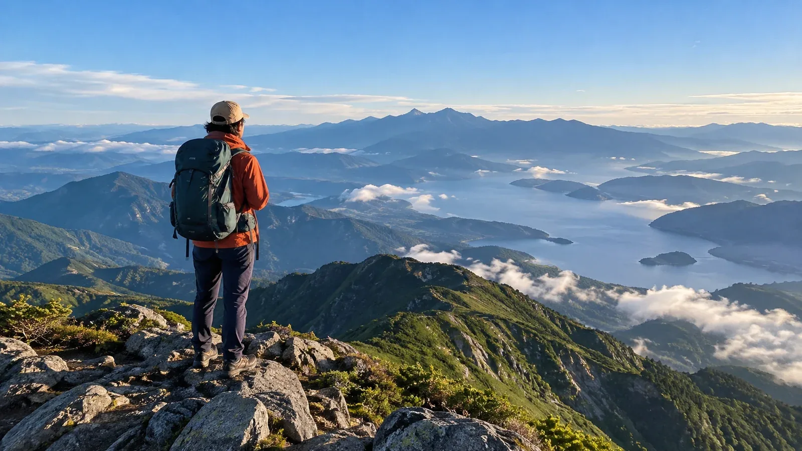
Wanting a good summit view is a natural reason to hike, whether you’re starting out or looking for a new goal. Lists of scenic mountains leave several questions open. Can you walk the route? When might the view be clear? What will you see?
A single photo gives only part of the story. These criteria let you judge a candidate mountain for yourself.
What makes a view good?
Summit views offer several different experiences. Start by separating them.
Breadth of view means whether you get a full 360-degree panorama, an opening on one side or an outlook partly blocked by trees or rock. Peaks above the tree line, where tall trees stop growing, often offer open views. A route ending in forest may have a limited outlook even at the top.
What you can see matters too. Do you want Fuji, the sea, layers of mountains, or a view down over a town or basin? Choosing the subject first helps narrow the list.
The chance of a clear view is easy to overlook. Even a famous high peak can be in cloud at your arrival if the terrain tends to form cloud or the weather changes in the afternoon. Check when the view is most likely to open up.
Terrain that shapes the view
Topographic maps and photos can tell you a lot about the view before you leave.
How far the peak stands above its surroundings
A high, isolated peak can offer views in many directions. Mount Fuji is a prime example. A summit within a massif may have its view cut off by a nearby ridge. Draw a line on a map from the summit toward the feature you want to see and check the height and distance of the intervening ridges.
Shape of the summit
A broad, flat top and a sharp pinnacle give you different amounts of space to stand and look. Even with an open view, a narrow rocky summit can demand attention to footing. Photos and published trip reports give a sense of the space.
Where the tree line falls
Parts of Chūbu-Sangaku National Park enter the alpine zone around 2,500 m. The tree line varies by range and slope, and lower mountains with grasslands or rock ridges may also have open views. Look at the vegetation near the top and the terrain where you’ll actually stand.
Season and time of day: when views are clearer
A sunny day can still be hazy. Season and weather influence whether distant peaks or coastlines are visible.
From fall into winter, lower wooded mountains can open up after the leaves fall. Clear, dry days can bring distant views, while snow clouds may block the outlook on the Sea of Japan side. Check temperature, wind, snow and daylight and choose a route that fits your experience and equipment.
An early start makes it easier to get off a ridge before afternoon thunderclouds on summer days when those are forecast. Staying in a hut the night before is one way to start early. Fog and thunderstorms can occur in the morning too. If bad weather is forecast, consider a different start time or postponing.
Check regional forecasts and warnings from the Japan Meteorological Agency and a mountain forecast for your elevation the day before and the morning of the hike. A sunny regional forecast can still leave a summit in cloud. If you have the cloud base, compare it with summit elevation using the same reference level, and check cloud cover and when you’ll be there.
How to assess a candidate summit
Work through these steps to choose a mountain for its view.
- Decide what you want to see. Fuji, the sea, an alpine ridge, city lights or sunrise call for different locations. Start with the subject.
- Check the area around the summit on a map and aerial imagery. Look at the surrounding elevations, summit shape and approximate tree line. Public tools such as GSI Maps show these features.
- Look at other hikers’ reports. Summit photos in clear weather can show the extent and subject of the view. Check when they were taken, the season and which way the camera faced.
- Compare the route with your fitness and skills. A good view does not make a hike suitable for beginners. Check distance, elevation gain, rock sections and equipment against your current ability.
- Read official local information. Opening dates, access rules and hut operations can change each year. Check local government and hut notices before leaving.
Where to look for open views
These regional features can help you identify candidates.
The Northern Alps, Southern Alps and Yatsugatake have ridges above the tree line that can open views while you’re still walking. To see a particular mountain, check the location and height of ridges between you and it.
Isolated peaks and volcanoes can offer broad views when they stand above nearby terrain. Even at moderate elevations, a large mountain overlooking its surroundings can provide a good outlook.
Mountains near the Pacific or the Sea of Japan can offer views across the water in the right conditions. A coastal summit does not need to be particularly high to have a wide view.
Lower mountains with ridge or rocky routes can have surprisingly open views. Check where the summit sits in the terrain and you may find candidates close to home.
What to do next
Decide what you want to see and examine candidate mountains on maps and in photos. Check regional and mountain forecasts plus local authority and hut notices for conditions and rules. Choose a hike that fits your fitness and equipment. Nordwand’s Base Camp and shared hiking logs can show recent summit conditions.
References
- Geospatial Information Authority of Japan, GSI Maps
- Japan Meteorological Agency, Weather Forecasts and Information
- National Police Agency, overview of mountain accidents for safety planning
References and sources
- Geospatial Information Authority of Japan | Elevation and profiles in GSI Maps
- Ministry of the Environment | Terrain and vegetation in Chūbu-Sangaku National Park
- Ministry of the Environment | Daisetsuzan National Park and its tree line
- Nagano Local Meteorological Office | Summer thunderstorms
- Japan Meteorological Agency | Weather forecasts and information
- Japan Meteorological Agency | Fog, mist and thunder terminology
- National Police Agency | Mountain and water accident statistics