
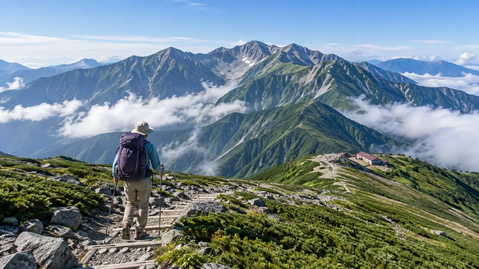
When you look up popular mountains, the question is often which one suits you. Mount Fuji, Mount Takao, Oze, the Tateyama range and the Northern Alps are familiar names, but the terrain, difficulty, busiest periods and equipment needs can differ considerably.
Easy access, maintained trails, distinctive views, huts and routes that welcome newer hikers all draw people in. When you understand what makes a place popular, you can look for those same qualities on another mountain and avoid the heaviest crowds.
This guide breaks down what draws people to the mountains and what to compare when choosing a route.
What makes a mountain popular
Knowing what draws people to a place makes it easier to choose.
Ease of access
Mountains within day-trip range of cities tend to draw hikers. If you can reach the trailhead by train and bus, you can go without a car, which makes it easier for people of different ages to visit.
Trail maintenance
Frequent signs, manageable steps and alternate ways down can reassure newer hikers. Well-maintained trails also draw more people, and queues are more likely on weekends and holidays.
Views and natural features
Alpine flowers, ridge views, volcanic terrain, waterfalls and wetlands attract people at different times of year.
Huts and facilities
Where huts are plentiful, newer hikers have more ways to plan a multiday trip. A hut stay can suit someone who wants more than a day hike without carrying a tent.
What to expect in well-known hiking areas
These are broad patterns. Check local authorities, huts and trailhead notices for walking times, fees and rules.
Introductory hikes close to cities
Mount Takao in Tokyo offers a cable car, mostly paved Trail 1 and natural trails with roots and steps. The TAKAO 599 MUSEUM notes that queues can form on narrow stairways during busy periods. In autumn foliage season or on holiday weekends, check trail notices and the first cable car. You can also plan to walk outside the busiest hours.
Central Japan and the Northern Alps
Tateyama, Yari-ga-take and the Hotaka peaks are known for the rock ridges and views associated with Japan’s high mountains. Wind and rain can lead to hypothermia on high ridges even in July. When snow clears, huts open and the first autumn snow arrives varies by area, year and route. Check hut and local trail reports before going.
Wetlands and high plateaus
Oze’s wetlands and the Kirigamine plateau have routes with gentle gradients. Wet boardwalks can be slippery, and flower season draws crowds. Stay on marked paths and boardwalks to protect the wetlands, and avoid pushing past people in narrow sections. Different flowers and autumn grasses change the scenery as the season progresses.
Mount Fuji
Mount Fuji draws many climbers in summer. The Ministry of the Environment counts visitors near the eighth station on each of the four trails. Yamanashi’s Yoshida Trail and the three Shizuoka routes have different access conditions and procedures. Check that year’s official Mount Fuji climbing site for fees, gate hours and season dates.
Treat crowding as a risk in its own right
On popular mountains, crowding can affect your safety.
Queues and rockfall. On rocky ridges and steep slopes of loose gravel, someone above can knock stones onto hikers below. Crowds reduce the spacing between people.
Hut bookings. In busy areas, huts can fill up in peak season. If you lose your overnight stop, you may face walking in the dark or in bad weather. Confirm availability and cancellation terms with the hut.
Queues at toilets and water points. Find out where to refill and use the toilet, check opening hours, and allow for waiting when it’s busy.
Ways to avoid peak traffic. Try a weekday, an early start or a date just before or after the peak. A date change can affect transport, weather and sunset. Check those details for the new date.
How to narrow your options
Work through these points when choosing a route.
- Check your fitness and experience. Think about how many hours you’ve walked on recent hikes and low mountains over the last three months.
- Decide between a day hike and a night out. Compare the distance and ascent with a recent day hike you finished comfortably. Take into account when you can start and when the sun sets. If a day hike is unrealistic, secure a place in an open hut or at a designated campsite.
- Choose what matters to you. Views, alpine flowers, ridge walking and a hot spring afterward point to different routes.
- Check the season and forecast. June and September can call for different gear on the same mountain. Check the Japan Meteorological Agency’s regional forecasts and warnings and a mountain forecast for your elevation.
- Recheck the latest information. While planning and again just before leaving, check where to submit your hiking plan and look for current restrictions and hut notices.
What the popular routes are like in practice
There’s plenty of information about popular mountains, but common stumbling points can be harder to spot.
- Allow for traffic on the descent. Check the slope, surface and likely bottlenecks. Add time to rest your legs and wait, and plan to reach the bottom before dark.
- Judge the whole route, even when it’s well maintained. Signs make navigation easier, but distance, elevation gain and rock still take energy. Compare the route with your fitness.
- Decide when to turn back in bad weather. Even when others keep going, ask whether your own equipment and skills are enough. Before leaving, set a turnaround rule based on when you can get off the ridge ahead of storms or strong winds.
What to do next
Once you have a candidate, check the local authority and hut websites for restrictions and trail conditions. Compare the Japan Meteorological Agency’s regional forecasts and warnings with a mountain forecast for your elevation. In Nordwand’s Base Camp and activity communities, you can share recent conditions with people interested in the same area or find someone to hike with.
References
- Japan Meteorological Agency, Weather Forecasts and Information
- National Police Agency, annual overview of mountain accidents
- Ministry of the Environment, national park visitor guidance
- Prefectural hiking information and restrictions
References and sources
- TAKAO 599 MUSEUM | How to explore Mount Takao
- Nagano Prefecture and prefectural police | Summer wind, rain and hypothermia
- Ministry of the Environment | Oze National Park visitor etiquette
- Ministry of the Environment | Kirigamine wetlands
- Official Mount Fuji Climbing Website | 2026 climber counts and methodology
- Official Mount Fuji Climbing Website | Climbing season and route status
- Official Mount Fuji Climbing Website | Yoshida Trail restrictions in 2026
- Official Mount Fuji Climbing Website | Shizuoka-side restrictions in 2026
- Japan Meteorological Agency | Weather forecasts and information
- National Police Agency | Mountain and water accident statistics
- Ministry of the Environment | National park rules and etiquette