
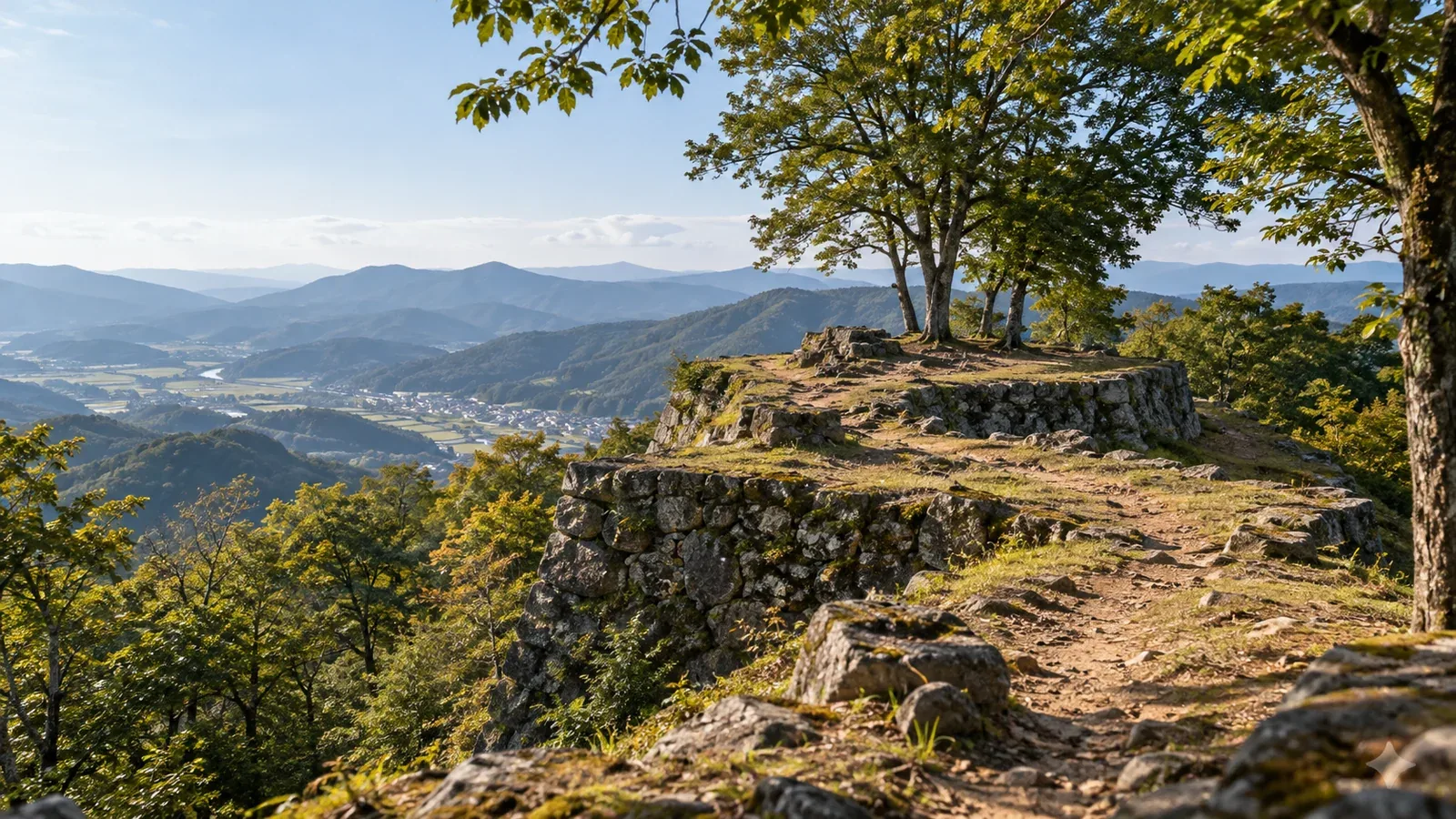
Castle ruins and old roads survive on some of Japan’s hills and foothills. Walking past castles built into ridges or following roads once used to cross passes brings the history of these landscapes into view.
On a first outing, choosing one feature, such as a castle enclosure or a stretch of stone paving, makes it easier to plan. Follow paths open to visitors and compare the site plan with the land around you.
The ruins of Hachiōji Castle and the old Hakone road show what to look for and how to prepare.
What to see at a castle ruin in the hills
Mountain castles of the Sengoku period used ridges and valleys as part of their defences. Hachiōji’s visitor guide explains that the castle’s main enclosure stood at the summit with other enclosures around it. Three terms help make sense of the signs.
- Kuruwa, or enclosure: A distinct part of a castle. Some enclosures were levelled by cutting into a ridge or slope.
- Horikiri, or ridge ditch: A ditch cut across a ridge to block approaches along it.
- Dorui, or earthen rampart: A defensive wall made by banking up earth. It may survive as a grassy rise.
If you find a flat area or a ditch in a ridge, check the castle plan or heritage records. Natural features or later construction can look similar.
What to look for on old roads
Old routes include highways, paths over passes, pilgrimage trails and roads for carrying goods. The old Hakone road was part of the Tōkaidō developed during the Edo period. The town of Hakone describes stretches where stone paving and lines of Japanese cedars survive.
Some features are relatively easy to recognise on the ground.
- Stone paving: Stones laid to form the walking surface. In Hakone, sections survive between Hatajuku and the shore of Lake Ashi.
- Waymarkers: Stones or other markers giving directions or distances. The inscriptions may be worn and hard to read.
- Ichirizuka, or distance mounds: Mounds built along roads at intervals of one ri, about four kilometres. Hatajuku is among the places with surviving historic sites linked to these markers.
- Teahouse and post town sites: Places where travellers rested or stayed. Old road maps can help you locate buildings that remain and the sites of those that are gone.
Some modern footpaths or roads overlap old routes. Check preservation records and local maps to see which stretches or remains date from the old road.
Preparing with maps and heritage information
Before leaving, locate the features and public routes on a map, then check access conditions and the gear you need.
1. Find the historic sites
Look up the name and location on local heritage pages or in the Agency for Cultural Affairs database. For an old road, read local visitor information or the preservation plan to decide which section to visit.
2. Read the terrain on a topographic map
Use GSI Maps to check ridges, valleys, passes and gradients. Compare topography with the castle plans and heritage maps before identifying an enclosure or dating a path from contours or dashed lines.
3. Check opening and access
Check which part is officially designated and which part is open to visitors. Keep out of private land and closed sections, and consult the site manager for hours, trail conditions and facility closures.
4. Pack for the route
Bring footwear with grip suited to the trail, a map, rain gear, water, trail food and a headlamp. Wet paving and earthen slopes can be slippery. Stay on the public route and follow signs.
How to read what you see on the ground
Match the signs to the terrain
A castle plan shows how its enclosures were arranged. Find where you are on the sign and map and compare the direction of the ridge and the order of the enclosures. Take a photo of the plan where photography is permitted.
Look closely where little seems to remain
Earthworks and ditches may survive even where walls and buildings are gone. Observe the features you can identify from plans or signs, and leave the earth and stones as you found them.
Tell the old road from a modern one
Some sections overlap forest tracks or roads. Check preservation records before identifying an old route from paving or stone statues alone. If a local old-road map is available, use it to see where people walked then and where you can walk today.
Choose a season
Earthworks may be easier to see when there is less vegetation. Allow time to descend when the days are short. Wet stone paving can be slippery, and ice is possible in cold weather.
Recording what you find and learning more
Where photography is allowed, take wide and detailed views of the remains from the public path. Record the location, direction and names on signs so you can compare sites later.
Local libraries, museums and visitor centres can help you learn the background. The Hachiōji Castle visitor centre introduces the layout and history of the castle.
Your next step
Choose a public historic site you can visit in a day. Check which features you want to see, which paths are open, the weather, visiting hours and transport home before choosing a manageable route.