
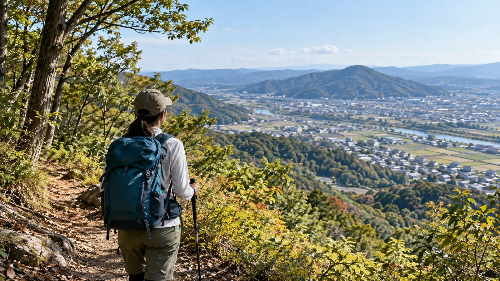
For your first walk in the hills, start by looking for a local nature trail or hill route on a map. If you can reach it by train or bus, you can plan the whole day, including the walk to the trailhead and the service home.
Japan’s Ministry of the Environment describes satochi-satoyama as landscapes shaped by people, with a mix of settlements, secondary woodland, fields, ponds and grassland. This article looks at how to find public paths on the hills in these landscapes close to home.
What to check before looking for a local hill
Decide whether to go on foot, by bicycle, on public transport or by car, and check the time from home to the trailhead. On public transport, check the walk from the station or stop and the last service home.
For a first outing, choose a short route with enough time to return even with breaks. Check distance, elevation gain, difficulty and your usual pace on familiar ground. Pick a place where you can turn around.
Where to look for a satoyama walk
Municipal tourism and community information
On municipal and park websites, search for the town name together with “hiking” or “nature trails.” Check the route map alongside closures, opening hours and access information. If the information is old or access is unclear, ask the site manager.
Topographic maps from the Geospatial Information Authority
Open GSI Maps around your home and use contour lines to identify ridges, valleys and slopes. Close contour lines indicate a steeper slope. To find out whether you can actually walk a path or whether access is restricted, check with the site manager.
Maps and trip records in hiking apps
Records in hiking apps can help you locate junctions and viewpoints or estimate how long a route might take. The number of records alone does not tell you how well marked the trail is or whether it is open. Check when a record was posted and compare it with official trail information and maps.
Prefectural and municipal nature parks and forest parks
Nature and forest parks may have trails with signs and maps. Use the official site to check where the entrance is, opening hours, seasonal closures and facilities such as toilets. A single mountain can offer both a rocky trail and a gentler one, as on Mount Hiwada.
How to choose a good route for your first visit
After gathering information, narrow down the options by checking the following.
Trail and signs: Check for signs at the trailhead and main junctions and see whether a map is available. For a first outing, choose a route where it is easy to match signs on the ground to your map.
Work backward from the descent: Check the local sunset using the National Astronomical Observatory’s calendar. Woods and valleys can feel dark earlier. Set departure and turnaround times that allow you to descend in daylight even with breaks or a delay.
Ways to shorten the route: In case you tire or the weather changes, find where you can cut the route short or turn back safely. Use trails you can confirm on the map that are open.
Season and current conditions: Check the weather forecast, closures, mud or high water after rain, and ice in cold weather. Even on a busy day, check your own location at junctions.
Your first outing: What to prepare
Once you have picked a route, check these things before leaving.
- Have maps ready: Download an offline map and prepare a paper copy. If maps are handed out at the trailhead, check where and when.
- Check layers and gear: Choose comfortable walking shoes and pack an outer layer or rain gear to suit the weather. Plan to finish before sunset and bring a headlamp.
- Carry drinking water and trail food: Pack water and food you can use during the walk. If there is a shop or water source, check the hours or conditions of use in advance.
- Share your route and return time: Tell a friend or family member where you are going and when you expect to be down. Check which channels the area accepts for filing a hiking plan.
Your next step
Find a short nature trail on a local authority’s or park’s website. Mark the trailhead, turnaround point and transport home on the map, then decide after checking the weather and access. In the Nordwand community, you can exchange information with people who walk nearby.
Sources
- Ministry of the Environment: What are satochi-satoyama landscapes?
- Geospatial Information Authority of Japan: GSI Maps
- Japan Meteorological Agency: Weather forecasts
- National Astronomical Observatory of Japan: Calendar calculators
- City of Hidaka: Mount Hiwada
- National Police Agency of Japan: Mountain incident report for 2025