
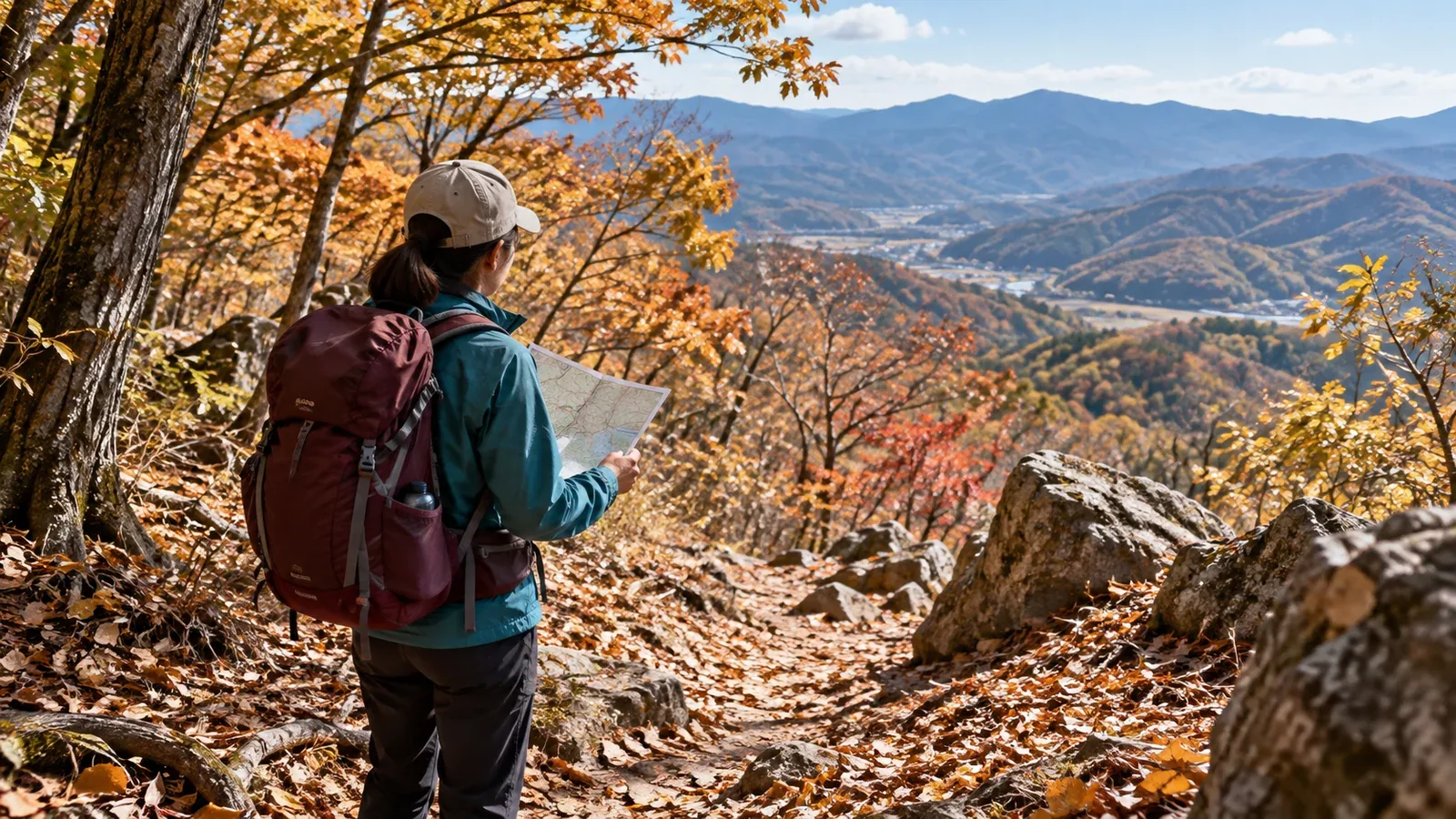
People can get lost, trip or fall on low mountains. Tokyo Metropolitan Police recorded such incidents on Mount Takao. Japan’s national 2025 report also found more people involved on Takao than the previous five-year average. Those national figures do not establish incident rates by elevation or whether low mountains have more incidents than high ones.
Even on an easy-to-reach mountain, check the trail, sunset and communications before you walk so you have options if your plans change. This article draws on police guidance for Mount Takao and elsewhere.
Four things to check even on a mountain near home
Summit height alone does not tell you how hard the day will be. Look up trail conditions, the time available and how you can reach others.
File the plan and share the route. Check which filing methods are accepted in the area. Tell family or friends your route and expected time down, and agree what to do if you fail to check in. The information can give searchers a starting point.
Check trail signs and the condition of the path. A developed trail can give way to faint tracks and poorly marked junctions. Compare your map with signs on the ground and check for closures.
Allow time for the descent. Add time for rests and navigation to the map estimate. Especially when starting in the afternoon, work backward from sunset and the last transport home to set a turnaround time.
Check reception and battery life. Takao Police Station warns of places without mobile coverage on Mount Takao. Bring backup power, save offline maps and test that the maps work without a connection.
What to watch for in woods, gullies and on slopes
Even if the elevation is low, leaving the trail can change visibility and footing.
Woods and brush can limit visibility. Trees and bamboo grass can block the view, and a side path can look like the main route. Stop and check the map and signs before going past a junction.
Gullies and steep slopes can be hidden. Deep gullies or steep slopes can sit beside an easy-looking ridge. Avoid shortcuts that do not appear on the map, and watch for steps under leaves and wet tree roots.
Wildlife, including bears and wasps. The places and seasons to watch vary by region. Before leaving, check recent sightings and advice from local authorities or the site manager and follow instructions on the ground.
Before even a short outing
Pack for the route and season. Consider what you would need if you were delayed or unable to continue, even on a short trail.
Four checks before leaving
- File the hiking plan and share it. Use a method accepted in the area and provide your route, expected descent time and emergency contact. Saving a record in an app does not necessarily file a plan.
- Carry a map and compass. Bring a paper map and compass and practise using them. Download the required area in your map app before you leave.
- Plan to finish in daylight. Check local sunset using the National Astronomical Observatory calendar. Set departure and turnaround times that allow for breaks and delays.
- Carry a headlamp. Take it in case you are delayed, and check that it works and has enough battery before you leave.
Basic clothing and equipment
Pack clothing for walking and for rain, wind and cold if you have to stop. Wet clothing makes it easier to lose heat. Bring an outer layer, rain gear and insulation suited to the season and forecast.
What to do if you lose the trail
If the way ahead is unclear, check your position and whether you can turn back before walking farther.
Stop when something looks wrong. If the track disappears, a junction does not appear or the terrain looks unfamiliar, stop and compare the map, terrain and signs.
Return to a confirmed position if you can do so safely. If you know the way back and can walk it safely, go to the last point where you confirmed your position. If the way is uncertain or the return slope is dangerous, avoid going on a guess.
Do not descend a gully looking for a trail. Gullies can lead to waterfalls and deep pools, where you may be unable to continue. Avoid using them as an improvised descent.
Call for rescue if you cannot move or descend safely. While you can still call, use 110 in Japan and give your location, injuries or condition and the number of people. Follow instructions. Wait on stable ground with protection from wind, rain and cold.
Three things to check on low mountains in autumn
Autumn brings colourful leaves. Check how the available daylight, footing and local wildlife information affect your itinerary.
Days are shorter in autumn, and woods and valleys can feel dark earlier. Check sunset for the location and date before using a departure time that worked in summer.
Leaves can hide stones and steps. Wet roots and rocks can be slippery. Pay attention to each foothold, especially going down.
Bear sightings vary by place and season. Check the latest information from local authorities or the site manager, including any advice to stay out or access restrictions.
Your next step
Before your next low mountain hike, check how to file the plan, when you expect to finish, and whether your paper map and headlamp are packed. Share your plan and agree with companions to stop first if a junction is unclear.
Sources
- National Police Agency of Japan: Mountain incident report for 2025
- Tokyo Metropolitan Police: Takao Police Station mountain rescue team
- Tokyo Metropolitan Police: For hikers in Tokyo
- Nagano Prefecture: Sanpo Shimazaki’s Mountain Bulletin, issue 468
- Nagano Prefectural Police: From a mountain emergency to rescue
- National Astronomical Observatory of Japan: Calendar calculators