
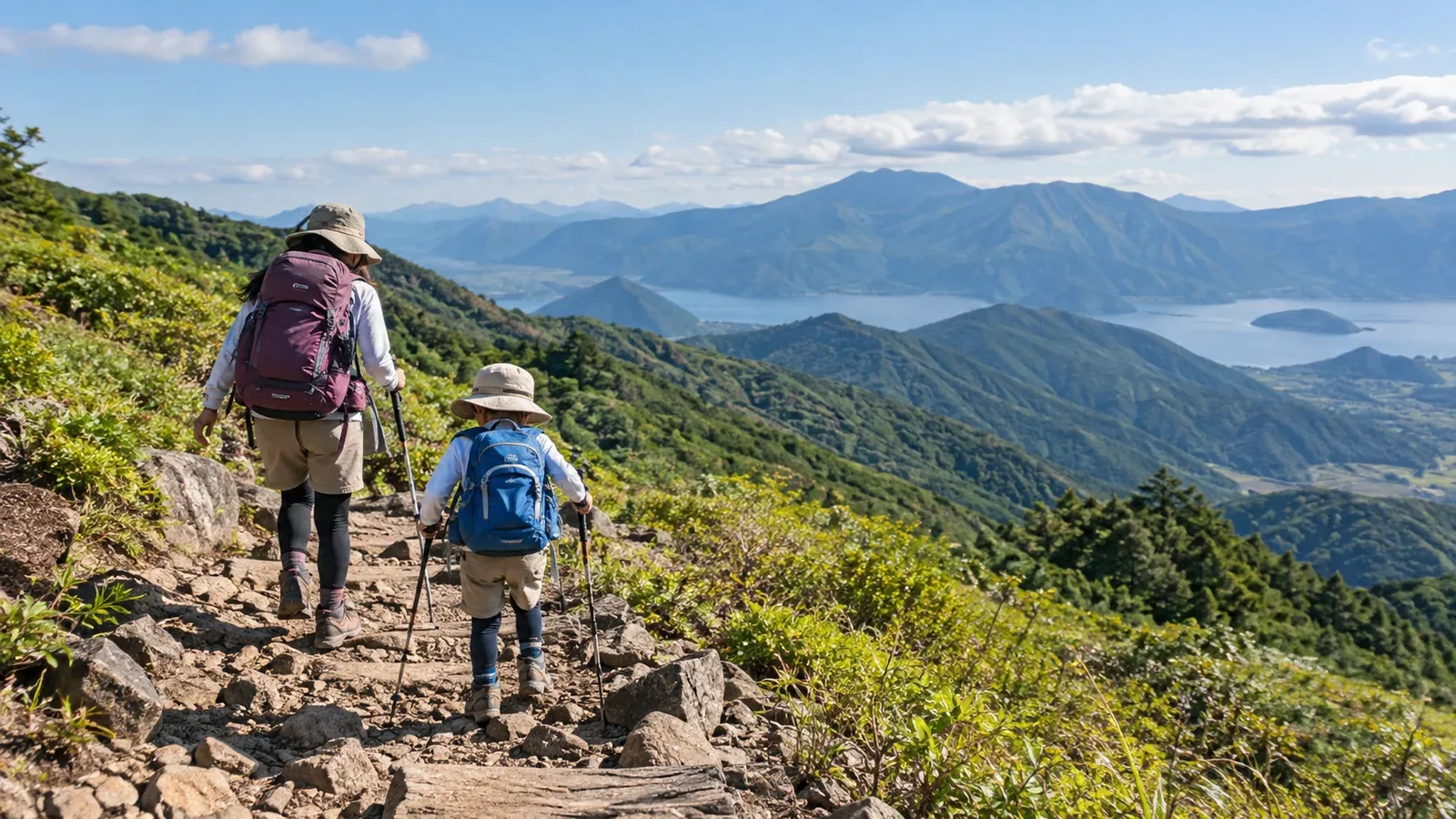
When you want to hike with your child, choosing the route is often the first hurdle. Online lists of hikes for children reflect someone else’s experience or a particular set of conditions. They may not fit your child’s age, fitness or experience.
Start by deciding what would suit your child. That gives you a way to assess a route wherever you found it. Here’s what to look for and how to narrow down the options.
Children of the same age can walk different distances and get tired in different ways. Use what you know from their everyday activity. Ask a pediatrician about health concerns, or a guide qualified for the area and activity if you’re unsure about the route.
Start with what your child can do
Write down what you know about your child’s walking before looking at mountains. It can save you from choosing something that turns out to be too hard.
Age and size can help you judge stride length and the height of steps. Use recent walks, how your child handles hills and steps, and how they recover after a break to choose a route.
Walking experience matters. How far can they walk around the neighborhood or park? Can they stay steady on uneven ground and get up a slope? Half an hour on pavement and half an hour on a trail feel different.
Attention and motivation matter too. Think about how your child responds to fatigue, boredom or a difficult stretch. It can help you decide when to turn back.
Decide in advance how long you’ll be out, including breaks, and what will make you turn around.
Five things to check on a route
Compare the options using these five checks. Confirm current conditions with local authorities, huts or notices at the trailhead.
1. Elevation gain and distance
Longer walks and more climbing or descending change how quickly a child tires. For a first outing, choose a short route with slightly more varied ground than your usual walks and an easy way to finish early. Check round-trip distance, total elevation gain and the location of hills and steps. Allow for breaks and leave energy for the return.
2. What the trail is like
On rock, chain sections and steep trails with exposed roots, check the height of steps and the consequences of a slip. Start with a short route that mostly follows stable dirt, gravel or maintained boardwalks. The Jōdodaira wetland in Fukushima has a boardwalk loop. Check which sections and facilities are open and what the weather will be like.
3. How easily you can turn back
Children’s energy and well-being can change along the way. Find safe places to turn back and check the distance from the end of the trail to the road, parking or an open building. Focus on whether you can end the trip early if needed.
4. Toilets and shelter
Check which toilets are open at the trailhead, along the way and at the end. If you plan to use a hut or rest facility, check its opening hours and access. Know how far it is and where you can retreat so you can turn back before the weather deteriorates.
5. Access and travel time
Include the journey by car, train or bus and your arrival time at the trailhead. Work back from sunset and the return service, with time for breaks and a slower pace. Check regional forecasts and alerts as well as a forecast for your area and elevation.
Where to find routes and information
Start with these sources.
- Official local government and tourism websites: Check route length, maintenance, facilities and closures.
- Hiking maps, such as Shobunsha’s Yama to Kōgen Chizu: Look up route difficulty, walking times, water, toilets and huts.
- Prefectural and municipal hiking guides: Look for maintained routes on low hills or around villages.
- Park operators and visitor centers: Staff may be able to suggest routes for families in national and quasi-national parks.
Once you have a shortlist, check each route against the five factors. Blogs and reviews are useful context. Verify restrictions, trail conditions and hut openings with official sources.
How to make your plan
- Write down your child’s starting point. Include age, experience, maximum walking time and reasons to turn back.
- Choose two or three candidates. Apply the five checks to routes from the sources above.
- Verify the latest information. Check trail conditions, restrictions, toilets and parking.
- Check the weather. Shortly before leaving, look at Japan Meteorological Agency regional forecasts and alerts, plus a forecast for your area.
- Set a start and turnaround time. Make sure the family knows the latest time to turn back.
- Check equipment. Pack rainwear for the child, spare warm layers, drinking water, trail snacks, a headlamp and first-aid supplies.
The turnaround time is there to leave enough time for the return. It is not a summit deadline. If your child feels worse or the weather deteriorates, turn back sooner based on their fatigue and the time you need to get down.
What can catch you out on an easy-looking trail
Even low mountains and maintained trails have a few pitfalls.
A maintained trail can still be slippery or uneven. Boardwalks get slick, steps can be too high for a child’s stride, and dirt can turn muddy after rain.
Autumn daylight is short even on low mountains. As days shorten, forests and valleys can feel dark before sunset. Plan to finish well before sunset and bring a headlamp.
Children may struggle to describe how cold or tired they feel. Watch for signs of cold or fatigue. Temperature and wind near the summit may differ considerably from those at the trailhead.
Wildlife, bees and plants need attention. Check local bear reports and restrictions. Before leaving, tell your child to give animals and bees space and to leave unfamiliar plants untouched and out of their mouth.
Next steps
Use your child’s recent walks to set a time limit including breaks and reasons to turn around. Compare routes using the five checks, then confirm current trail and facility information with the local authority, hut or operator. In Nordwand’s Base Camp, you can ask families who have hiked in the same area about their experience.
References
- Japan Meteorological Agency: regional forecasts, warnings and advisories
- Shobunsha: Yama to Kōgen Chizu hiking map series
- Official prefectural and municipal hiking route information
- Official national and quasi-national park visitor center information
- National Police Agency: annual mountain incident reports
References and sources
- Yamanashi Prefecture: safe hiking guidelines
- Yamanashi Prefecture: section maps for Yamanashi’s 100 Famous Mountains
- Ministry of the Environment: the Jōdodaira wetland walk
- Ministry of the Environment: national park visitor etiquette
- Ministry of the Environment: bear safety in national parks
- Japan Meteorological Agency: weather forecasts
- Shobunsha: Yama to Kōgen Chizu hiking maps
- National Police Agency: mountain incident statistics