
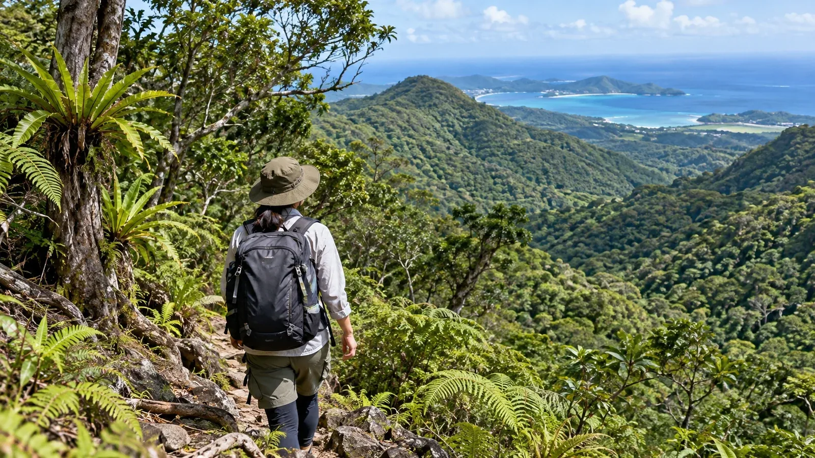
Yanbaru is an extensive forest region in the north of Okinawa Island. From maintained walking paths to guided mountain trails, it offers a different side of Okinawa’s natural landscape from the coast.
Even low mountains can have steep slopes, mud, confusing woodland paths and access restrictions. This guide covers local rules, weather and wildlife precautions for your first walk.
What is Yanbaru like?
Yanbaru covers the north of Okinawa Island, mainly the villages of Kunigami, Ogimi and Higashi. Part of it was inscribed on the World Heritage List in 2021 together with Amami-Oshima, Tokunoshima and Iriomote. Its subtropical evergreen broadleaf forest is home to species found locally, including the Okinawa rail and Okinawa woodpecker.
Mount Yonahadake, Okinawa Island’s highest point, is 503 metres high. Give more weight to the walking distance, steep sections, wet footing and whether you can follow the route on a map.
Mount Yonahadake is in Yanbaru National Park. Access is restricted in the special protection area near the summit. The Ministry of the Environment asks visitors to respect restrictions above the clearing with the sign. Kunigami Village recommends going with a guide on mountain trails. Ask the site manager where you can go and follow signs on the ground.
How is it different from hiking on Honshu?
A subtropical climate
Summer can be hot and humid enough that sweat dries slowly. Okinawa has a rainy season and is affected by typhoons. When heat stress index readings are available, check them alongside the forecast and shorten or postpone your walk in severe heat.
Winters are relatively mild, but cloud, rain and northerly winds can make it feel cold. After heavy rain, high water, landslides and mud can make routes impassable. Stay away from streams and waterfalls when the water is rising.
Check the Okinawa Meteorological Observatory’s forecasts and typhoon information, as well as access notices from facilities or local authorities, before leaving. The month alone tells you little about conditions that day. After a typhoon or heavy rain, wait for the site manager to announce reopening.
Visibility and navigation in the forest
Thick canopy can hide distant landmarks. If the signs disappear or your position no longer matches the map, return to the last place you could identify instead of pushing into the undergrowth.
Save the map and route on your device before leaving and test that they open in airplane mode. Phone coverage can drop in the forest. Carry a paper map as well, and tell someone your route and when you expect to return.
Give wildlife space
Watch animals from a distance and leave them to find their own food. Avoid catching them. The forest is home to venomous snakes, including the habu.
Habu are most active at night. By day they can still be found under vegetation, stones or fallen logs.
- Wear closed shoes and long trousers.
- Stay on maintained paths and keep out of tall grass.
- Keep your hands out of gaps between rocks and underneath fallen logs where you cannot see.
- In dim light, use a light to see your footing and check the path ahead.
If you suspect a venomous snakebite, move away from the snake, call for help, dial 119 and give your location. Avoid running or trying to suck the wound. Follow the emergency dispatcher’s directions and seek medical care promptly. Okinawa Prefecture lists facilities that stock habu antivenom.
What to check before heading out
Open sections, booking requirements and admission fees vary by site. Distinguish trails in protected areas from walking paths managed by visitor facilities, and check the following sources for the latest information.
- Ministry of the Environment’s Yanbaru National Park guide. Rules by area and visitor facilities.
- Kunigami, Ogimi and Higashi villages and individual facilities. Roads, path openings, admission and guides.
- Okinawa Meteorological Observatory. Forecasts, warnings, advisories and typhoon information.
Use GSI Maps or the facility’s trail map to check open entrances, junctions and exits, and save the information to your device.
What to bring
Prepare for rain, humidity, mud and stretches where you may lose contact.
Basic equipment
- Waterproof jacket and trousers, plus a layer to put on if wind or rain makes you cold.
- Long sleeves and trousers for insects, scratches and brushes with vegetation.
- Closed footwear with grip on wet rocks and mud.
- Enough drinking water, plus a reserve in case you are out longer than planned.
- Paper map and compass, or an offline map you know how to use, with a backup way to navigate.
- Headlamp and spare batteries.
- First-aid supplies.
For hot days or times when insects are active
- Take regular breaks, drink water and replace salt when sweating heavily.
- Use insect repellent as needed.
- Bring a hat and sun protection.
Where to go for your first walk
Consider the walking paths at Kunigami Village Forest Park, which welcomes day visitors, or the short route at ASMUI Spiritual Hikes, formerly Daisekirinzan. The ASMUI operator lists about 30 minutes for the short route. The Hiji Falls path and campground closed after the November 2024 rain disaster. Leave them out of your plans until reopening is officially confirmed.
Checklist
- Check where you can go, whether you need a booking or ticket, and the last admission time.
- Ask the site manager whether the road to the trailhead or facility is open, especially after a typhoon or heavy rain.
- Check recent official notices for path openings, footing and required equipment.
- For your first mountain trail, consider going with a local guide or someone who knows the route.
- Work back from your planned finish and return transport so you can complete the walk in daylight.
Sunset varies by location and date. It gets dark under the canopy before the sun sets. Allow enough time to meet the earliest of local sunset, closing time or your transport home.
Your next step
Choose one short walk and check local notices and the forecast for the day. If you move on to a mountain trail, look for a guide through Kunigami Village or another local tourism office. Ask where you can walk and what weather conditions would cancel the outing.
References and sources
- Ministry of the Environment: Places to visit in Yanbaru National Park
- UNESCO: The World Heritage property that includes northern Okinawa Island
- Ministry of the Environment: Rules for individual nature sites in Yanbaru
- Kunigami Village: Guide recommendation and access limits on Mount Yonahadake
- Kunigami Village: Closure of the Hiji Falls campground
- Kunigami Tourism Association: Visitor map showing the Hiji Falls closure
- Kunigami Village Forest Park: Day visits
- ASMUI Spiritual Hikes: Trails and admission
- Okinawa Meteorological Observatory: Weather forecasts and information
- Okinawa Meteorological Observatory: Climate of Okinawa Island and nearby islands
- Ministry of the Environment: Heat stress index and heat illness prevention
- Okinawa Prefecture: Habu precautions and medical facilities that stock antivenom
- Fire and Disaster Management Agency: Calling 119 for an ambulance
- Geospatial Information Authority of Japan: GSI Maps
- National Astronomical Observatory of Japan: Calculate sunset times