
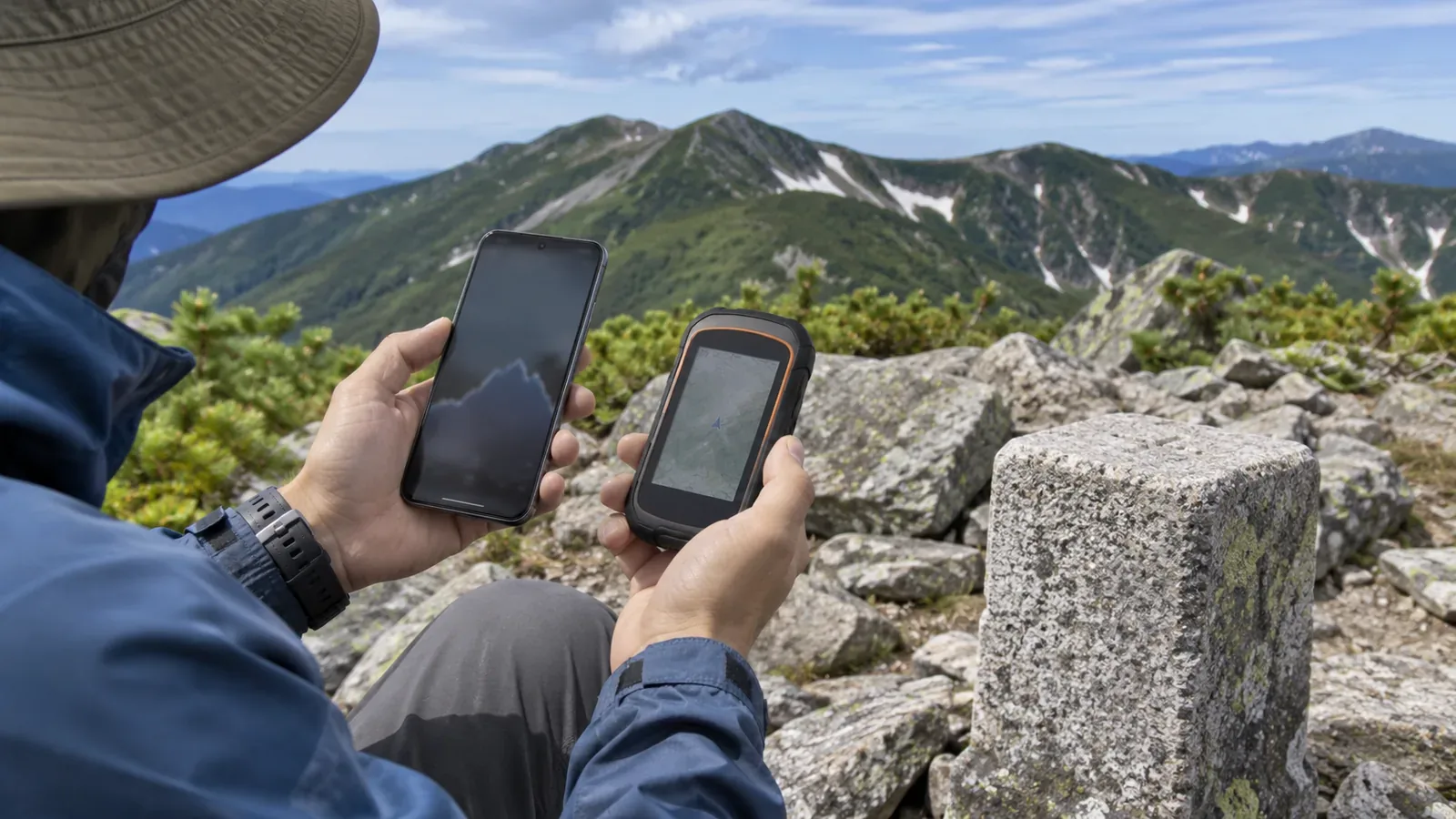
A difference between the elevation in your log and on the map does not establish that the device or map is wrong. Check the height reference, how the number was produced and the exact point being compared. We use official explanations from GSI and Android and an earlier GPS.gov performance table to show what to record when reviewing a log. Phones and watches can report altitude in different ways.
First check the reference surface used for height
GSI describes the geoid as mean sea level extended in concept beneath the land. A height obtained by satellite positioning can be expressed relative to an ellipsoid used to model Earth. Subtracting geoid height from that ellipsoidal height gives the elevation. Even when both values are in metres, make sure the zero reference is the same before comparing them.
In Android's location API, getAltitude() gives height above the WGS84 reference ellipsoid and is valid only when altitude is available. Android also offers a separate optional field, getMslAltitudeMeters(), that gives altitude above mean sea level. The reference depends on the field.
These are API field definitions. They do not establish what a particular hiking app displays or exports. Check whether the app or device uses a satellite height, a barometric measurement, map data or a corrected estimate. If the documentation does not say, record the source as unknown. A label that says “mean sea level” alone does not establish agreement with a Japanese map.
Distinguish elevation read from a map and calculated elevation at a screen point
The GSI Maps documentation says that elevation at the screen's central crosshair is calculated from a gridded elevation model based on the latitude and longitude. The calculation smooths values from the four nearest elevation points. The result does not match the original model or survey measurements exactly. Treat the screen value as a calculation for that location.
The documentation also says that different elevation models can give different values at the same latitude and longitude, and their results may differ from an elevation you read from a map. Our editorial team suggests keeping separate fields for a spot height marked on a printed map, an elevation read from contour lines, and a value calculated by a mapping service.
The model uses measurements of the ground surface. It does not incorporate the heights of buildings, viaducts and other structures. Choosing a point near the track does not ensure you are comparing the same surface or object. This explanation applies to GSI Maps. Check the source of the data used by other apps.
Keep horizontal and vertical accuracy separate
Android's getAccuracy() represents the estimated horizontal accuracy of the reported position as a radius. The 68% confidence level in the documentation is for this horizontal field. The documentation limits that field to the horizontal plane. Even if an app uses the value directly for its circle, the circle tells you nothing about height accuracy.
First verify whether your app's current location circle uses the API field at all. A small circle alone gives no reason to apply the 68% definition to every app. Android has separate optional fields for vertical accuracy that are valid only when the relevant values are present. If there is no accuracy display for height, the value is unclear, or the circle is absent, record the information as unknown.
The GPS.gov evaluation table for 2022 illustrates how horizontal and vertical measures differ. It gives 95th-percentile positioning standards of at most 8 m globally on average and 15 m at the worst site for horizontal error. For vertical error the corresponding figures are 13 m and 33 m. These are distinct from signal ranging error. The archive says it has not been updated since February 2025. The table does not describe errors measured on a phone in the mountains or give a current guarantee. Android's 68% also describes a different confidence level.
Compare the same point and leave unknowns open
Start by setting an earlier log alongside the map you had at the time. Record the time and place, device or app, how the height was obtained and whether its reference is known. A closer result after you move the crosshair does not establish that you have located the correct point.
A horizontal offset changes the point where you read the map elevation. Imagine a uniform slope that rises 5 m for every 10 m of horizontal distance in the direction of ascent. Shifting the comparison point 10 m uphill on the map changes the ground elevation there by 5 m. This is a geometry example with a specified slope, without measuring a real mountain or GPS error. It cannot explain any particular difference on its own.
Note whether you confirmed the same point and what the map value came from. A persistent difference alone does not justify subtracting a fixed value or assuming that calibration at one marked elevation will correct the whole log. If you calibrate a device, check its manual for the value affected and the instructions. Each device has its own procedure.
If taking readings on the hike, do so only where you can stop safely without blocking the trail. Collecting a reading gives no reason to go to a dangerous spot or prolong the hike. If an older record lacks location or accuracy details, leave the gaps open and compare the values you can verify.
Explain the readings before trying to make them agree
Compare elevations after checking their reference surfaces, where the display or log gets its value, the underlying map data and whether they refer to the same point. An ellipsoidal height field is one possible source for an app, and a horizontal accuracy circle cannot describe vertical accuracy.
An elevation displayed by GSI Maps is calculated from an elevation model. If the readings still differ, record the conditions you could confirm and any unknowns before applying a correction. Always compare the elevation log with map position, terrain and signs when deciding where you are and whether to continue.
References and sources
- Geospatial Information Authority of Japan (GSI): What is the geoid? Ellipsoidal height, geoid height and elevation
- Android Developers: Location, altitude and mean sea level altitude, horizontal and vertical accuracy fields
- GSI Maps: About the elevation values provided by this system, calculations from elevation models
- GPS.gov archive: GPS Performance, 2022 evaluation table for horizontal and vertical positioning service accuracy