
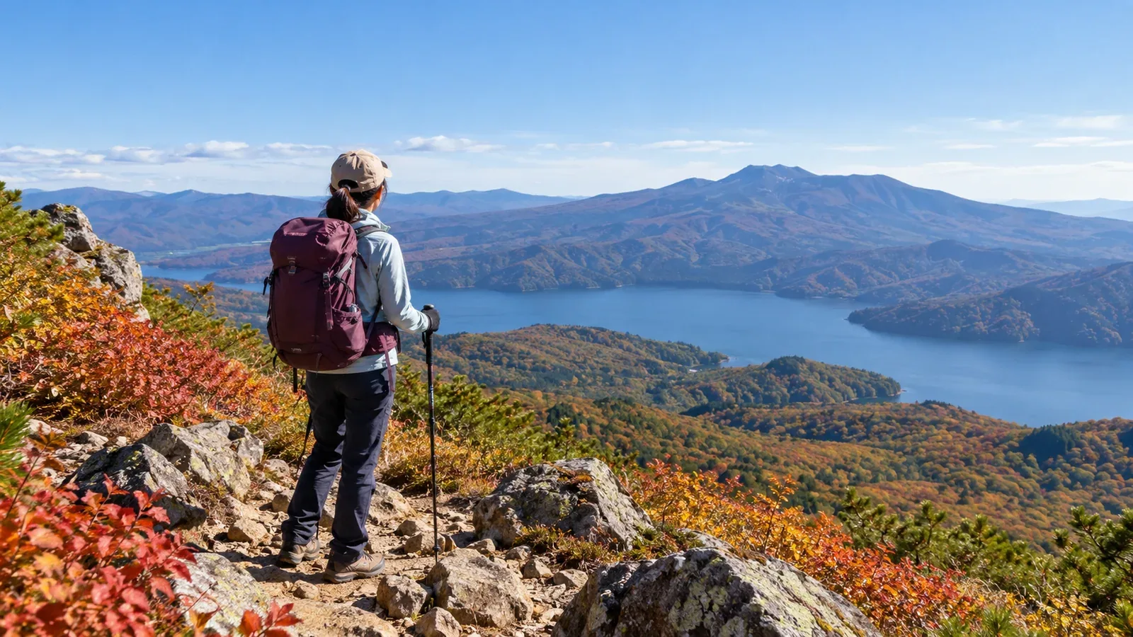
Tōhoku has nature walks close to cities and long hikes on volcanoes. Even on the same mountain, your plans depend on the trailhead, route length and road or trail restrictions.
Here are day hike options from Sendai, Morioka and Yamagata and what to check before leaving.
For a first hike, pick a short route suited to the season and your experience. Check local conditions again just before leaving.
What to check before choosing a mountain in Tōhoku
Check snow, transport and bear reports early in the planning.
Lingering snow and autumn cold. Some trails hold snow into early summer, and higher areas cool early in autumn. Check current trail surfaces and openings with managers or visitor centers. The month alone tells you little about conditions.
Getting to the trailhead. Even if you take the Shinkansen to Sendai, Morioka or Yamagata, onward services vary by weekday and season. Check connections and the last ride back. If driving, check road restrictions and parking.
Asiatic black bears. Check local authorities’ sightings and closure notices. Walk in a group, make your presence known by talking or using a bell, and take food and trash home. Turn back if you see fresh tracks or droppings.
Choosing a hike from Sendai
From Sendai, compare the city’s low mountains, Mount Izumigatake and the Miyagi side of Zaō.
The Zaō range spans Miyagi and Yamagata. One option for seeing Okama from Miyagi is the viewpoint near Mount Katta, via the Echo Line and High Line roads. Check road notices for winter closures. The ropeway from Zaō Onsen is a separate approach from Yamagata. For either approach, check volcanic information and local restrictions.
Mount Izumigatake (1,175 m) lies north of Sendai. It has several routes, including the Suijin trail. Check the city’s map for steep sections and junctions. A city bus also runs from Izumi-Chūō subway station toward Izumigatake Shizen Fureaikan.
Mount Taihaku is a low mountain within Sendai. Before trying the summit, you can try your footwear and gear on the paths in the Mount Taihaku Nature Observation Forest at its foot.
Choosing a hike from Morioka
Mount Iwate, Mount Himekami and Mount Hayachine are options from Morioka. Their routes vary in length and access restrictions.
Mount Iwate (about 2,038 m) is a volcano. Reaching the summit requires fitness and preparation. Even at alert level 1, some trails on the west side, including around Ōjigokudani, can remain restricted. Check the prefectural and municipal maps for your trail and submit both a hiking plan and a descent report.
Mount Himekami (about 1,124 m) lies north of Morioka. Routes such as the one from Ipponsugi Park let you plan a shorter hike than Mount Iwate. Compare distance, total climbing and trail conditions to find a route you can manage.
Mount Hayachine is known for alpine plants. Roads toward Odagoe can have seasonal private-car restrictions or winter closures. The Kawara-no-Bō trail is closed after a collapse. Check the prefecture’s information for the current year for open trails, roads and alternative transport.
Choosing a hike from Yamagata
From Yamagata City, options include Zaō to the southeast, Mount Gassan and Murayama Hayama.
Mount Gassan (about 1,984 m) is one of the Three Mountains of Dewa. A chairlift serves the Ubasawa side in Nishikawa, but the ridge is exposed to wind and can hold snow. Check lift service, the last ride down and trail conditions. Choose another route if you cannot walk safely on the snow.
On the Yamagata side of Zaō, the ropeway goes from Zaō Onsen to Jizō Sancho Station. If hiking onward toward Mount Kumano, check wind and visibility on the ridge and volcano or trail restrictions.
Murayama Hayama (1,462 m) spans Sagae, Murayama and Ōkura and has a history of mountain worship. Compare routes such as Sagae’s Hata trail on the map. Check the forest road to the trailhead and parking.
How beginners can judge whether a day hike is feasible
Once you have a shortlist, use these four checks to plan your day.
Match hiking time to your fitness
Use the map’s estimated time as a starting point. Allow for your group’s pace, breaks and delays due to weather or the trail surface. On unfamiliar terrain, choose a short route you can easily turn back from.
Consider distance and total climbing together
Think about how long and how far you can normally walk comfortably. Check total elevation gain, steep or rocky terrain and any extra climbs along the way. Leave energy for the descent.
Finish in daylight
Use local sunset and return transport to set a time to finish walking while it is still light. Valleys and woods darken before sunset. Plan an early start and set a turnaround time.
Prepare for changes in weather
Strong winds, thunderstorms and low temperatures are possible even in summer. Check the Japan Meteorological Agency forecast and local conditions just before leaving. Choose a shorter route or another day if the forecast is poor.
Plan your next hike
Choose a departure city and check your ride there and back, current restrictions and walking time. In Nordwand’s Base Camp you can find people who know the mountain. Walking with someone experienced can help you learn what gear to take, how to pace yourself and when to turn back.
References
- Japan Meteorological Agency forecasts and volcano information
- National Police Agency mountain incident statistics
- Notices from local authorities, transport operators and trail managers
- GSI Maps from the Geospatial Information Authority of Japan
- Ministry of the Environment bear information
References and sources
- Japan Meteorological Agency | Weather forecasts
- Japan Meteorological Agency | Volcano information
- Ministry of the Environment | Bear information
- Zaō Town | Okama and Echo Line road conditions
- Sendai City | Mount Izumigatake trails and access
- Sendai City | Mount Taihaku Nature Observation Forest
- Iwate Prefecture | Mount Iwate restrictions and hike registration
- Morioka City | Ipponsugi Park at Mount Himekami
- Iwate Prefecture | Mount Hayachine hiking and traffic restrictions
- Gassan Ski Area | Gassan chairlift and hiking
- Zaō Ropeway | Service information
- Sagae City | Murayama Hayama trails