
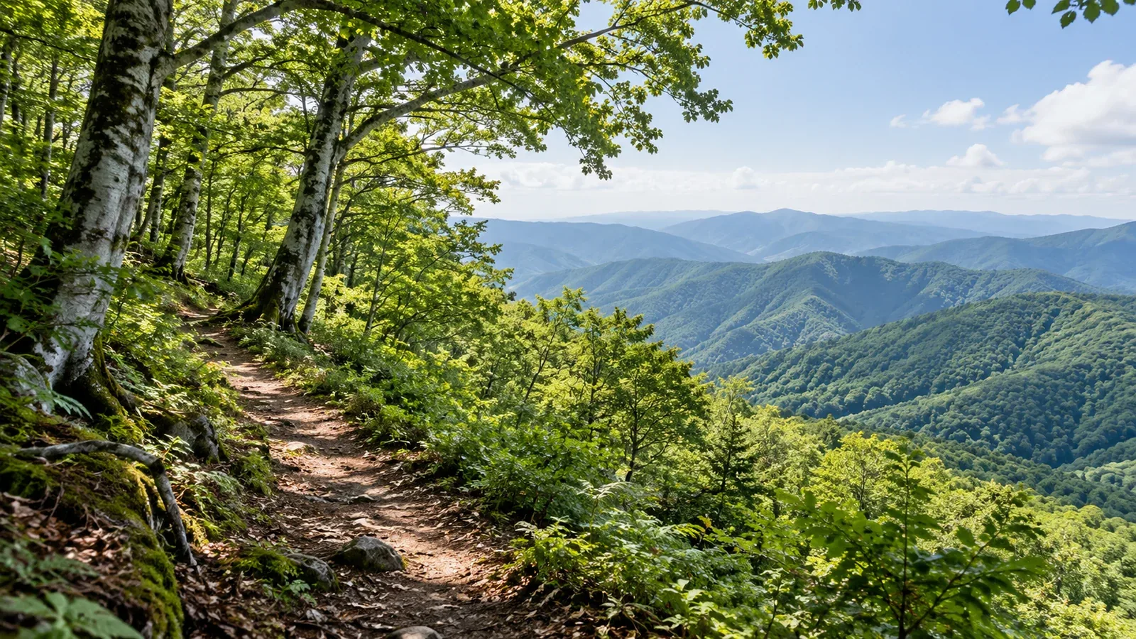
The Chūgoku region has walks near cities and mountains with long, steep climbs. Your options depend on where you start in Hiroshima, Okayama or Tottori, how far you can walk and how you will get home.
Compare terrain and trail conditions to choose a day hike that suits your experience.
The Chūgoku Mountains include Daisen in Tottori and Mount Hyōno on the Tottori–Hyōgo border. Check total climbing, walking time, steep ground, junctions and the weather as well as summit elevation.
Three types of mountain route in Chūgoku
Compare maintained paths, routes across wooded foothills, and trails with rock or steep sections.
1. Routes with signs and maps. Even where trail maps and signs are easy to find, difficulty depends on terrain and distance. For Daisen’s summer trail, Mount Azuma and Hiruzen, check current trail conditions and which facilities are open.
2. Low ridges and wooded foothills. Low mountains can have many junctions with few signs. Find the junctions on your map and bring a paper map and compass. Make sure any app map works without a signal.
3. Routes with rock or steep slopes. Even on short routes, rocky or chained sections take experience. The pilgrimage path to Nageire-dō on Mount Mitoku requires at least two people, and staff check footwear at entry. It closes in poor weather. Check Sanbutsuji Temple’s notices.
What to consider by prefecture
Tottori: what a hike up Daisen involves
The summer trail on Daisen goes to Misen at 1,709 m. It climbs steadily and has boardwalks higher up. The ridge toward the highest point, Kengamine at 1,729 m, is crumbling. Leave it out of any traverse. Check the latest Tottori Police and national park notices.
For a shorter option, look at the Higashizaka route on Mount Senjō in Kotoura. The Hiruzen area has other options, including steep paths and long traverses. Compare distance and terrain for the route you plan to walk.
Hiroshima: access from the city and varied terrain
Mount Misen on Miyajima has routes from the base of the mountain and an option using the Miyajima Ropeway. From Shishiiwa Station it is still about 30 minutes on foot each way to the summit. Check ropeway service and its last departure, the ferry timetable and trail conditions.
Mount Azuma and Mount Hiba in Hiba-Dōgo-Taishaku Quasi-National Park offer ridge walks. The Mount Azuma Lodge has closed. Check Shōbara’s tourism notices for usable toilets and parking. For a traverse, find junctions and exit points on the map.
Okayama: comparing Hiruzen and Mount Nagi routes
Hiruzen includes Kamihiruzen, Nakahiruzen and Shimohiruzen. An out-and-back to one peak takes a different amount of time from a traverse of all three. Mount Nagi, on the Okayama–Tottori border, has routes such as Trail C from Nagi Town past Ōkami Rock. If going up and down by different trails, check access, distance and steep sections for both.
Four checks to narrow down your first routes
Use these four checks to narrow down your options.
- Elevation gain and hiking time. Start from how long and how far you usually walk. Check total gain and terrain. For your first hike, choose a short trail you can easily turn back from.
- Finish time. Work backward from local sunset and transport home. Allow for breaks and delays so you finish in daylight. If starting late, choose a shorter route or another day.
- Trail conditions. Heavy rain or rockfall can close trails. Check local authorities, trail managers and visitor centers the day before and just before leaving.
- Contact and escape options. Valleys and the far side of ridges may have no mobile signal. Mark turnaround points and alternate descents on the map. Share the plan and expected return with someone you trust.
Autumn and winter in Chūgoku
Days get shorter, and conditions at the summit can differ from those at the foot of the mountain.
- Cold mornings and evenings. High ground on Daisen or Mount Nagi can have frost and ice. Check temperature and wind, and bring warm layers, protection from wind and rain, gloves and a hat.
- Slippery leaves. Leaves can hide roots and stones. Check the grip on your soles and watch your footing downhill.
- Shorter daylight. Start early and adjust your turnaround time to local sunset and trail conditions.
Plan your next hike
Pick a starting point and decide how long you can walk. Check trail notices, weather and return transport. Share your route and expected return with someone and file a hiking plan. In Nordwand’s Base Camp you can find people who know the mountain.
References
- Japan Meteorological Agency weather forecasts
- Ministry of the Environment information on Daisen-Oki National Park
- Hiking information from authorities and tourism associations in Tottori, Hiroshima and Okayama
- Police mountain incident statistics and safety information
- Notices from trail and transport operators
References and sources
- Japan Meteorological Agency | Weather forecasts
- Tottori Police | Hiking Daisen and ridge warnings
- Ministry of the Environment | Daisen summer hiking trail
- Mount Mitoku Sanbutsuji Temple | Pilgrimage to Nageire-dō
- Misasa Onsen Tourism Association | How to visit Mount Mitoku
- Tottori Prefecture | Mount Senjō trail and activity map
- Miyajima Tourism Association | Hiking Mount Misen via the ropeway
- Miyajima Ropeway | Hours and last ride
- Shōbara Tourism | Mount Azuma and available facilities
- Maniwa Tourism | Hiking routes in Hiruzen
- Nagi Town | Mount Nagi and its hiking trails