
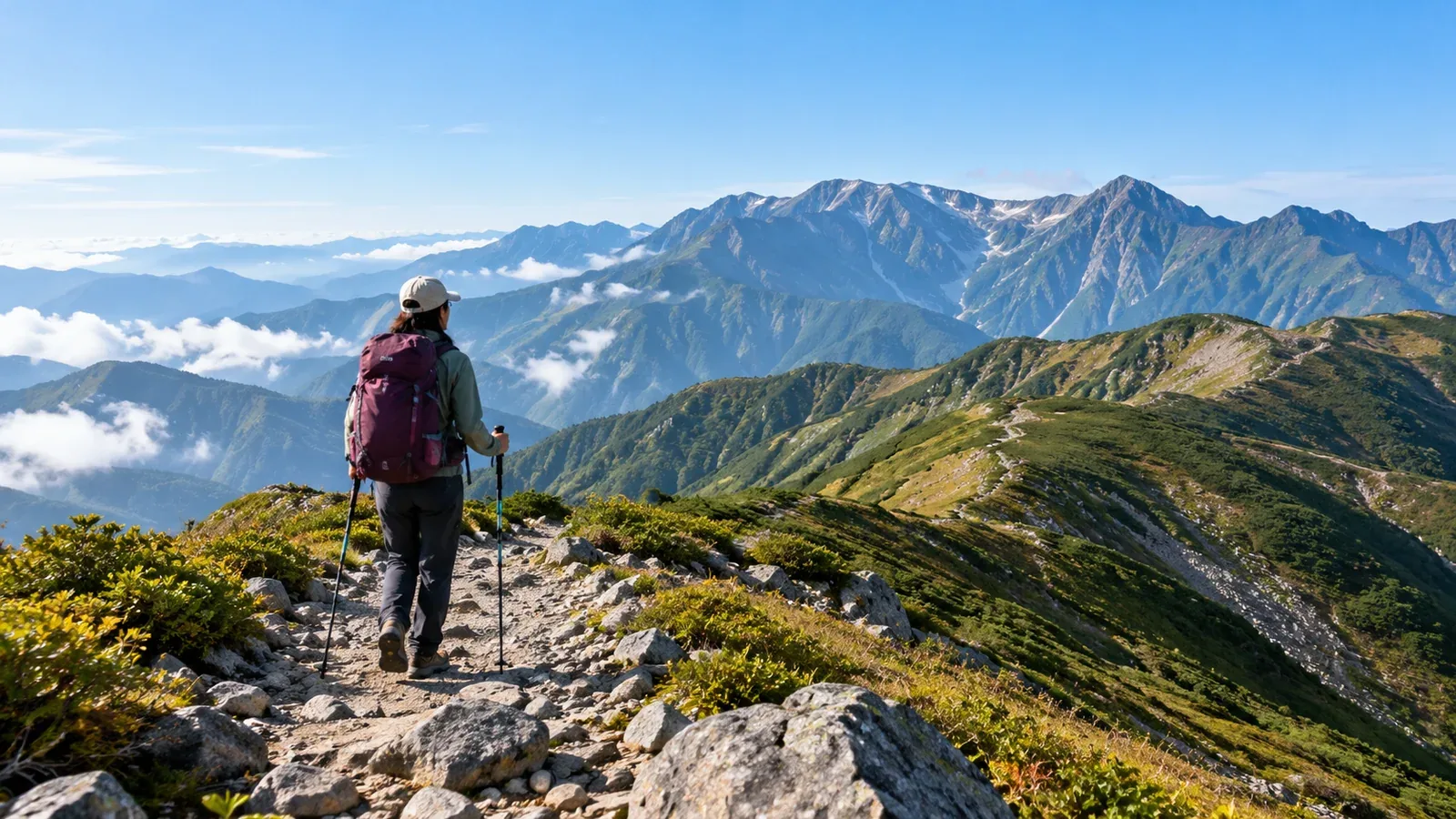
Ishikawa, Toyama and Fukui have low mountains near cities and high mountains such as Mount Haku and Tateyama. Even on a day hike, walking time, elevation gain, snow and transport to the trailhead vary widely.
From Kanazawa, Toyama or Fukui, check snow, weather and transport to choose a day hike suited to your experience.
What to know before choosing a mountain in Hokuriku
Check mountain weather separately from the lowlands
Check the Japan Meteorological Agency forecast the day before and the morning of your hike. Temperature, wind and visibility on high ridges can differ from the lowlands. Check visitor center and hut notices for your destination when choosing gear and a turnaround time.
Lingering snow
Snow can cover trails even on lower mountains in spring and early summer. Check current snow and trail openings with local authorities or managers. Choose a snow-free route if you lack experience walking safely on snowy slopes or finding a trail under snow.
Check transport to the trailhead first
Some trailheads are hard to reach without a car. Others have seasonal buses. Check service days, reservations, connections and the last ride back. If driving, check road restrictions and parking.
Ishikawa: Mount Haku trails and Mount Iōzen
Gozengamine on Mount Haku is 2,702 m high. Reaching it involves a long climb. To start, you can test your gear and walking time on a short local route with less elevation gain and easy turnaround options.
On the Ishikawa side, Sabo Shindō runs from Bettōdeai toward Murodō via Jinnosuke Shelter. Even for an out-and-back to the shelter, check the map for time and elevation gain. Beyond the suspension bridge toward Nakahanba, the newer alignment is uphill only and the old trail is downhill only. See Ishikawa’s hiking information for private-car restrictions and shuttles between Ichinose and Bettōdeai and for current trail notices.
Mount Iōzen Prefectural Natural Park is near Kanazawa. It has short walks and steep hikes. Check distance, slope and closures with the visitor center or on the prefectural map.
Toyama: walks at Murodō and nearby mountains
The Tateyama Kurobe Alpine Route reaches Murodō at about 2,450 m. The walks around Mikurigaike Pond differ in duration and terrain from the trails toward Ichinokoshi or Mount Jōdo. Bring warm layers and rain gear, as rain and wind can chill you even in summer. Check the operator’s service days and last ride back.
Other Toyama options include Mount Ōtsuji, at 1,361 m, described by Tateyama Town, and Sengokujōyama, about 758 m, in Kamiichi. Check the forest road to the trailhead and the slope and distance of each route. The Kamiichi Tourism Association describes the Sengokujōyama trail as intermediate.
Check alpine weather and trail conditions even for walks around Murodō. For high ridges around Tateyama or Mount Tsurugi, allow separately for walking time, snow or rocks, wind and visibility. Choose a route within your experience.
Fukui: Mount Arashima and Mount Monju
The Kadohara route on Mount Arashima, about 1,523 m, begins about a 10-minute walk from Kadohara Station on the JR Etsumi-Hoku Line. Ōno City estimates 3 hours 30 minutes up and 2 hours 30 minutes down. Mochigakabe has a slippery, steep slope with chains and ladders. Choose it if you have the fitness and experience, and check your return train.
On Mount Monju near Fukui City, one route leads from Futagami trailhead to Ōmonju, at 365 m. Even at low elevation, check the trail surface and the return transport and leave time to spare.
Different roads and rail lines serve Reihoku in northern Fukui and Reinan in the south. Mountains in Reinan also extend into Shiga and Kyoto. Compare round-trip travel time to each trailhead before choosing.
Gear and planning for all three Hokuriku prefectures
Prepare for rain
Bring a rain jacket and trousers for sudden rain and wind even on low mountains. Pack warm layers, gloves and a hat as the temperature calls for.
Make filing a hike plan a habit
Share your route with someone and file a hiking plan before leaving. Ishikawa requires a notification within 4 km of the designated crater area of Mount Haku. For designated areas around Mount Tsurugi from December 1 to May 15, Toyama requires filing at least 20 days before the hike. Check the procedure for your area and season, including the Fukui Police instructions where relevant.
Autumn colors and snow
The timing of autumn colors and the first snow varies with elevation and year. Ice can form while leaves are still changing. Check the trail surface, temperature and sunset. Change routes or dates if you cannot handle winter conditions.
Use a topographic map and an app
Bring a paper topographic map and compass. Mark junctions and turnaround points. If using a map app, download the map and check that it opens without a signal.
Plan your next hike
Choose a starting point and trailhead. Check transport, restrictions and weather, then pick a route suited to your experience and available time and file a plan. You can also find people who know Hokuriku’s mountains in Nordwand’s Base Camp.
References
- Japan Meteorological Agency weather forecasts
- Hiking information from Ishikawa, Toyama and Fukui authorities
- Prefectural hike registration and hiking safety information
- Ishikawa Prefecture’s Mount Haku hiking information
- Official Tateyama Kurobe Alpine Route information
References and sources
- Japan Meteorological Agency | Weather forecasts
- Ishikawa Prefecture | Mount Haku hiking information and restrictions
- Ishikawa Prefecture | One-way sections of Sabo Shindō
- Ishikawa Prefecture | Mandatory hiking notification on Mount Haku
- Ishikawa Prefecture | Mount Iōzen Prefectural Natural Park
- Tateyama Kurobe Alpine Route | Murodō walks and hiking routes
- Tateyama Town | Hiking Mount Ōtsuji and nearby mountains
- Kamiichi Tourism Association | Sengokujōyama trail
- Toyama Prefecture | Filing a plan for the Mount Tsurugi area
- Ōno City | Mount Arashima trails and transport
- Fukui City tourism website | Mount Monju and Futagami trailhead
- Fukui Prefectural Police | Filing a hiking plan