
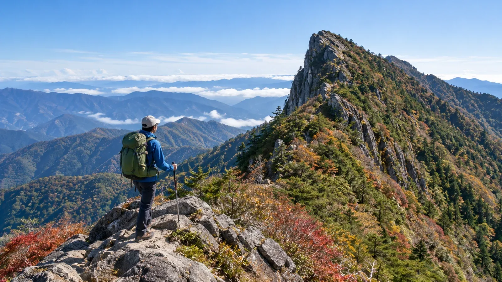
Shikoku offers everything from short walks near cities to routes along the high ridges of Mount Ishizuchi and Mount Tsurugi. Even on the same mountain, the preparation depends on transport, the access road and whether you will encounter rock or snow.
Compare the main routes on Mount Ishizuchi and Mount Tsurugi and explore some lower mountains for getting used to hiking.
Mount Ishizuchi: western Japan’s highest mountain
Mount Ishizuchi in Ehime is a place of mountain worship. Its highest point, Tengudake at 1,982 m, is the highest summit in western Japan. From Misen, where the summit shrine stands, the route to Tengudake crosses an exposed rocky ridge. First-time hikers can turn back at Misen.
The Jōju route from Saijō uses the Ishizuchi Ropeway and passes Jōju Shrine on the way to Misen. Access to the Tsuchigoya route from Kumakōgen depends on the road. Check the round-trip walking time, the ropeway down and road opening hours to Tsuchigoya.
Check three things at Mount Ishizuchi.
- Chain sections. The Jōju route has a practice chain and chains one, two and three. The Tsuchigoya route has chains two and three. You can reach Misen by trails that bypass the chains. Bypasses still have steep sections. Turn back if you cannot handle wet rock or wind.
- Weather. Fog can come in quickly higher up, and rain and wind can chill you. Check the Japan Meteorological Agency forecast and local notices. Bring rain gear and warm layers.
- Opening festival and crowds. Hikers and pilgrims arrive together for the July mountain-opening festival and other busy periods. Check parking, ropeway service and any festival access notices.
Bring well-fitting shoes, rain gear, a map and compass, trail food, water and a headlamp. Decide whether to tackle the chains based on your gear, experience on rock and conditions that day.
Mount Tsurugi: the chairlift and trails from Minokoshi
Mount Tsurugi in Tokushima is 1,955 m high. The chairlift runs from Minokoshi to Nishijima. From Nishijima, continue on foot, with the distance depending on the trail. The prefectural tourism guide estimates about one hour to the summit.
Dwarf bamboo and boardwalks cover parts of the summit area. Compare distance and slope for the routes from Nishijima. Decide where you will turn back if visibility or wind worsens.
Some stretches of National Route 438 and other roads to Minokoshi are narrow. If you drive, check road restrictions. If you take a bus, look up current seasonal schedules, connections and the last ride back. Check chairlift updates with the operator.
Parking near Minokoshi can fill during the autumn color season. Allow time for crowds and work back from your ride home.
Low mountains for your first walks
On a short trail close to home, you can try your footwear, gear and pace on the way up and down.
Compare low mountain routes using these four checks.
- Climbing you can manage. Check total elevation gain, including climbs along the way, as well as summit elevation.
- A route you can follow on the map. Use the manager’s map to check signs, junctions and closures.
- Time to spare. Choose a short route based on how long you usually walk, allowing for breaks and the descent.
- Places to turn back. Find turnaround points and exits in case the weather changes or someone feels unwell.
Examples include the paths to Matsuyama Castle, Mount Bizan in Tokushima, Mount Godai Park in Kōchi and the pilgrimage trail up Yashima in Takamatsu. Check the maps and access notices before choosing a distance and return route.
Getting to Shikoku’s trails and choosing a season
In mountain areas, road hours and bus operating days shape your plans. Set your start time based on travel both ways and local sunset.
Seasonal patterns are a starting point. Check weather and trail conditions again just before leaving.
- Summer, July to August. Watch for heat on low mountains and lightning and strong wind on high ridges. Shorten any time planned on a ridge or change days if thunderstorms are forecast.
- Autumn, September to November. Days shorten and high ground can get cold and icy. Bring warm layers and allow time before sunset and the last ride home.
- Winter and early spring. Snow and ice can remain high on Mount Ishizuchi and Mount Tsurugi. If conditions call for winter gear and experience, choose a snow-free route. Check for seasonal road and chairlift closures.
Share your itinerary with someone you trust and file a hiking plan using the method listed by the prefectural police. Give them your expected return time and how to reach you if you are late.
Four questions for your first hike
Check these four things before leaving.
- How much can you walk on unpaved trails? Use a short route to see how long you can climb and descend with a pack and how tired you get.
- Do your shoes suit the trail? Wear footwear that fits and grips on wet slopes and rock.
- Who will walk with you? On a new mountain, you can go with someone experienced or a qualified guide. Nordwand’s Base Camp can help you find companions.
- When will you turn back? Work backward from sunset and the last ride to set a finish time that allows for breaks and delays.
Plan your next hike
Test your gear and walking time on a short local trail. If you choose Mount Ishizuchi or Mount Tsurugi, check transport and access. Review the weather the day before and the morning of the trip. File a hiking plan once you have a route you can manage.
References
- Japan Meteorological Agency weather forecasts
- Police mountain incident statistics and hiking safety information
- Hiking and tourism information from Ehime and Tokushima prefectures
- Road, transport and trail notices from operators and local authorities
References and sources
- Ishizuchi Shrine | Mount Ishizuchi hiking guide
- Ehime Tourism and Products Association | Chain sections and bypasses on Mount Ishizuchi
- Ishizuchi Ropeway | Service hours
- Ehime Prefecture | Ishizuchi Skyline hours and restrictions
- Awa Navi, Tokushima’s tourism website | Mount Tsurugi hiking and access
- Mount Tsurugi Chairlift | Service information
- Tsurugi Town | Roads and hiking buses to Minokoshi
- Matsuyama City | Walking routes to Matsuyama Castle
- East Tokushima Tourism | Mount Bizan routes
- Kōchi Prefecture | Mount Godai Park
- All Yashima tourism website | Yashima trails
- Japan Meteorological Agency | Weather forecasts