
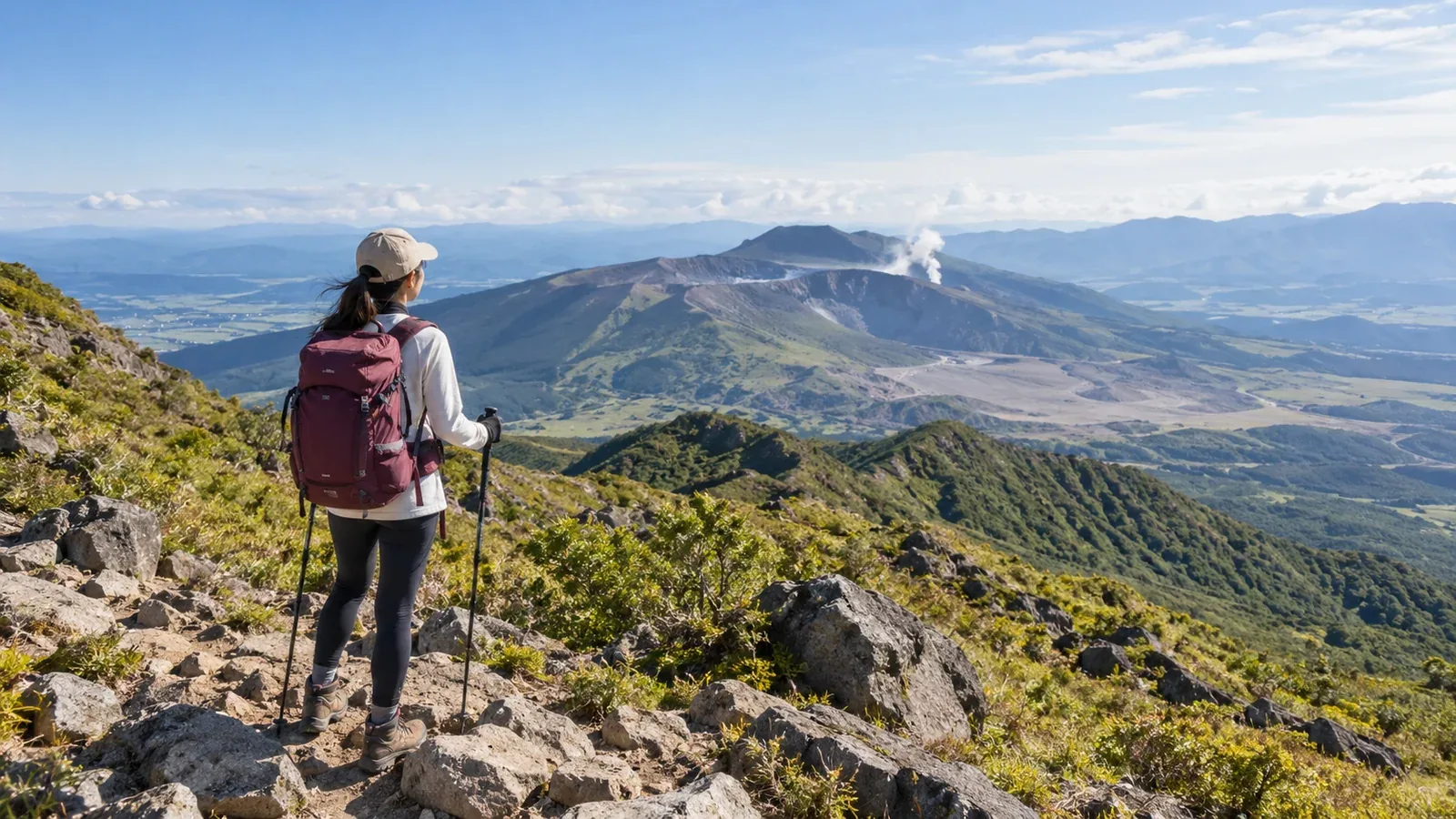
Kyūshū has active volcanoes, steep volcanic terrain and low mountains covered in evergreen broadleaf forest. Even on mountains close to a city, slope, volcanic restrictions and transport vary by route.
Here are some options from Fukuoka, Kumamoto and Kagoshima. Check route distance and total elevation gain on a map, and look up trail access and timetables with the land managers and transport operators.
Terrain to know before choosing a Kyūshū hike
In Aso, Kirishima and Unzen, volcanic activity or gas can lead to access restrictions. Check the Japan Meteorological Agency’s volcano information and the trail-specific notices from local authorities or park managers when planning and just before leaving. Follow on-site signs and staff instructions.
You will find evergreen broadleaf forests at lower elevations and Miyama Kirishima azaleas in early summer or autumn grasses in the Kujū Mountains. Hot, humid days bring a risk of heat illness. Depending on the forecast, start early, shorten the trip or go on another day.
From Fukuoka: Mount Hiko and Mount Sefuri
Mount Hiko straddles Fukuoka and Ōita and is sacred in the Shugendō tradition. The slope car follows the main approach to the area around Hōheiden partway up. The upper shrine at the summit requires a further hike. Check Soeda’s trail map for rocky and steep sections, and check the last ride down if using the slope car.
Mount Sefuri. Fukuoka City maps ridge walks starting near the summit and routes from the Shiibaru side. Some loops and traverses are long. Beginners should compare the distance, total climbing and return transport. If driving, check road restrictions on the way to the trailhead.
From Kumamoto: Aso and the Mount Kujū area
At Aso, restrictions for viewing Nakadake’s crater differ from those for hiking to the Nakadake and Takadake summits. When the crater or Sunasenrigahama is closed, detours via Sarayama or Sensuikyō may be available. Check the route-specific notices from Aso City and Kumamoto Prefecture on the day, alongside the alert level. People with asthma, bronchial conditions or heart disease should stay out of the crater area because of volcanic gas.
In Ōita Prefecture, northeast of Aso, Mount Kujū is part of the Kujū range. The route from Makinoto Pass starts with a steep climb before reaching an open ridge. Set a turnaround time based on visibility, wind and the thunderstorm forecast. Check the map for water and rest spots and contact huts directly about opening hours.
From Kagoshima: Mount Kaimon and Takachiho-no-mine
Mount Kaimon is a 924 m volcano at the southern end of the Satsuma Peninsula. Its narrow trail spirals around the mountain, with rocks and ladders near the summit. Ibusuki’s tourism guide estimates four to six hours round trip. Choose it if you can allow enough time and energy for the rocky descent.
Takachiho-no-mine sits on the Kagoshima–Miyazaki border and is known for the Ama-no-Sakahoko spear at its summit. From Takachiho-gawara, the route climbs steep loose rock and crosses the rim of Ohachi crater. In strong wind, consider turning back before the rim. Check volcano updates from the weather agency and local authorities and trail updates from Kirishima-Kinkowan National Park.
Four checks for choosing a first hike in Kyūshū
Work through these four checks to narrow down the options.
- Volcanic restrictions. Check the weather agency’s notices and the manager’s restrictions for your specific trail.
- Elevation gain and distance. Start with a short route suited to the time and distance you can comfortably walk. Check for steep ground, rock and extra climbs.
- Getting there and back. Check transport to the trailhead and the last ride back. If you drive, look up road restrictions and parking.
- Descent timing. Work back from sunset, any bad weather in the forecast and your return transport. Set a turnaround time that allows for breaks and delays.
Plan water around hiking time, temperature and reliable refill points, with extra in case of delays. On hot days, take regular breaks and drink regularly. If you sweat heavily, replace salt through food or other suitable sources.
Plan your next hike
First check whether your trail is open and how you will get home. Review weather and restrictions the day before and on the morning of your hike. Switch to a shorter route or another day if conditions make the plan impractical. Find people familiar with the mountain in Nordwand’s Base Camp.
References
- Japan Meteorological Agency volcano information and forecasts
- Ministry of the Environment guides to Kirishima-Kinkowan and Aso-Kujū national parks
- Police mountain incident statistics
- Trail and transport notices from local authorities and managers
References and sources
- Japan Meteorological Agency | Volcano information
- Soeda Town | Mount Hiko trail maps
- Mount Hiko Slope Car | Service information
- Fukuoka City | Mount Sefuri hiking routes
- Aso City | Mount Aso restrictions and detours
- Kumamoto Prefecture | Trail-by-trail updates for Mount Aso
- Ministry of the Environment | Volcanic gas warning for visitors to Aso’s Nakadake crater
- Ministry of the Environment | From Makinoto Pass into the Kujū Mountains
- Ibusuki Tourism Association | Hiking Mount Kaimon
- Ministry of the Environment | Takachiho-no-mine hiking route
- Kagoshima Prefecture | Kirishima volcano information
- Ministry of the Environment | Heat illness prevention