
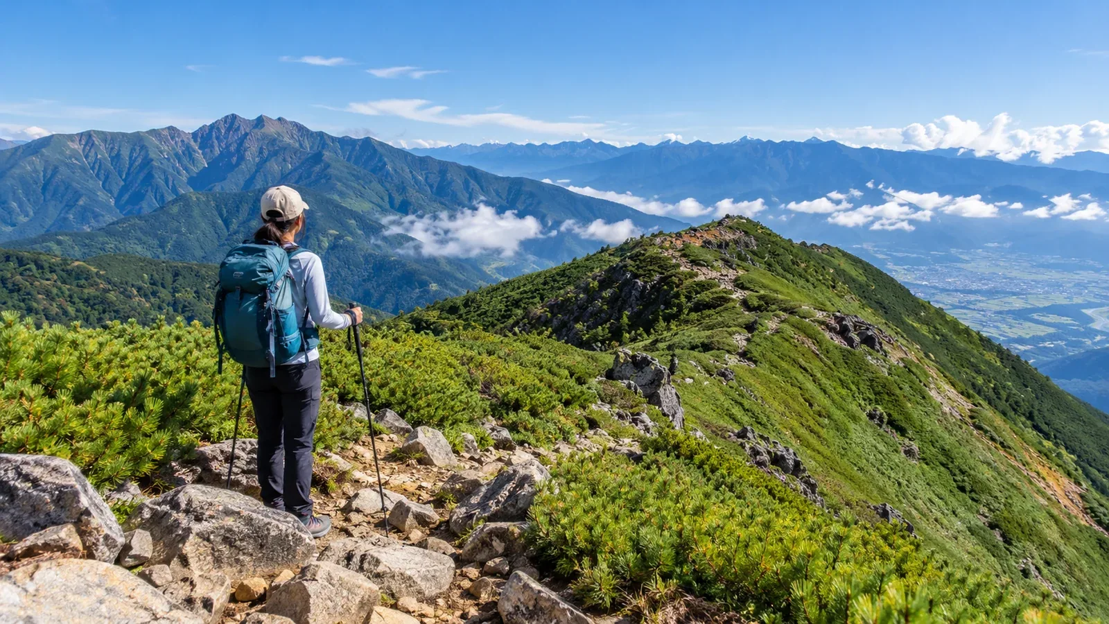
Shinshū has walks reachable from Matsumoto or Nagano stations and routes with hours on high ridges. Even on a day hike, transport, total elevation gain and season affect the difficulty.
Choose a day hike from Matsumoto or Nagano that suits your experience. Check time and elevation changes on a map, and look up current trail and transport notices from the people who run them.
Three ways to choose a first hike in Shinshū
Compare your options by transport, fitness and season.
1. Transport. Some trailheads have seasonal buses or services that require reservations. Check timetables and connections both ways. If you drive, check road restrictions and available parking.
2. Walking time and fitness. Start with a short route you can easily turn back from, based on how long and how far you usually walk comfortably. Allow for cumulative elevation gain, steep and rocky stretches, breaks and the descent. Set a turnaround time based on sunset, bad weather in the forecast and your ride home.
3. Season and snow. At higher elevations, frost and snow can arrive in autumn, and snow can linger into spring or summer. Check trail conditions just before leaving. Choose another route if you cannot handle icy slopes or snow.
Choosing a hike from Matsumoto
For a first walk from Matsumoto, consider nearby low mountains or riverside paths in Kamikōchi. Private cars cannot enter Kamikōchi. Drivers approaching from Matsumoto transfer to a bus or taxi at Sawando. Climbing Mount Yari or the Hotaka range requires more time and experience on rock.
Utsukushigahara. This plateau east of Matsumoto sits at about 2,000 m. Short walks start near Yamamotogoya Furusatokan and elsewhere. You cannot drive across the plateau from the Utsukushigahara Nature Conservation Center on the Matsumoto side to the museum and Yamamotogoya side. Check the destination and reservation for seasonal buses and check the route and winter closures if driving. Prepare for wind and fog.
Mount Norikura. Its highest summit, Kengamine, reaches 3,026 m. On the Nagano side, a seasonal shuttle from Norikura Highlands Tourist Center climbs to Tatamidaira at 2,702 m. Even on a short outing you gain altitude rapidly. Stop ascending if you develop symptoms such as headache or nausea. If they are severe or worsen, descend to a lower elevation and get help. Check the shuttle service and the return ride.
Choosing a hike from Nagano
From Nagano City, compare Mount Iizuna hikes with forest walks and shrine paths in Togakushi.
Mount Iizuna (1,917 m). The Togakushi Tourism Association estimates about five hours for the south trail from Ichi-no-Torii Park. It has steep sections. Check the map and current conditions and make sure the route fits your fitness. If using a bus toward Togakushi from Nagano Station, check the walk from the stop and the last ride back.
Togakushi. There are walking paths in Togakushi Forest Botanical Garden and on the approach to Okusha Shrine. The shrine approach is about 2 km from its entrance. Check weather, the path and bear reports. On the Mount Togakushi ridge, Ari-no-Towatari and Tsurugi-no-Hawatari have exposed rock dropping away on both sides and require experience on rocky ridges. Plan the walks and the ridge hike as separate outings.
Checks before setting out
Once you choose a destination, check these details.
- Weather. Check the Japan Meteorological Agency forecast the day before and the morning of the hike. Look up wind, temperature, visibility and thunderstorms for your destination.
- Trails. Use managers’ notices and the map to check closures and conditions, and identify junctions and turnaround points.
- Transport and parking. Check current bus operating days, connections and last departures, or look up road and parking notices.
- Hiking plan. Nagano requires filing a plan for designated trails. Check the prefecture’s list and filing methods. Tell family or another contact your route and expected return.
- Finish time. Work back from sunset, weather and transport. Allow for breaks and delays so you finish the descent in daylight.
Common mistakes on first hikes in Shinshū
Clear skies at departure. Lightning and strong winds can change conditions on high ridges even after a sunny morning. Recheck the forecast and set a time to turn back before conditions deteriorate. If thunderstorms are forecast, choose a shorter route away from ridges or go another day.
Rock and steep slopes. Routes with rock, chains or steep slopes require footwork and terrain judgment as well as fitness. For a first outing, practice pacing and using your gear on a clear, gentler trail.
Rain and cold. Wind and rain can chill you even in summer. Pack warm layers, a rain jacket and trousers, a map and compass, a headlamp, trail food and water suited to the outing.
Plan your next hike
Pick a route and check access and transport both ways with the managers and operators. File any required plans and check weather and trail conditions just before leaving. You can also find people who know the mountain in Nordwand’s Base Camp.
References
- Nagano Prefecture hiking information and hiking safety ordinance
- Japan Meteorological Agency weather forecasts
- Notices from local authorities, trail managers and transport operators
- Public health guidance on altitude illness
References and sources
- Japan Meteorological Agency | Weather forecasts
- Nagano Prefecture | Hiking safety ordinance and designated trails
- Official Kamikōchi website | Private-car and sightseeing bus restrictions
- Matsumoto City | Roads and access restrictions for Utsukushigahara
- Matsumoto tourism website | Utsukushigahara and direct buses
- Alpico Kōtsū | Shuttle from Norikura Highlands to Tatamidaira
- Matsumoto tourism website | Mount Norikura and Tatamidaira
- US CDC | High-altitude travel and altitude illness
- Togakushi Tourism Association | Mount Iizuna and Mount Togakushi trails
- Nagano City tourism website | Getting to Mount Iizuna
- Nagano Prefecture | Togakushi Forest Botanical Garden
- Togakushi Shrine | Getting to the Okusha approach