
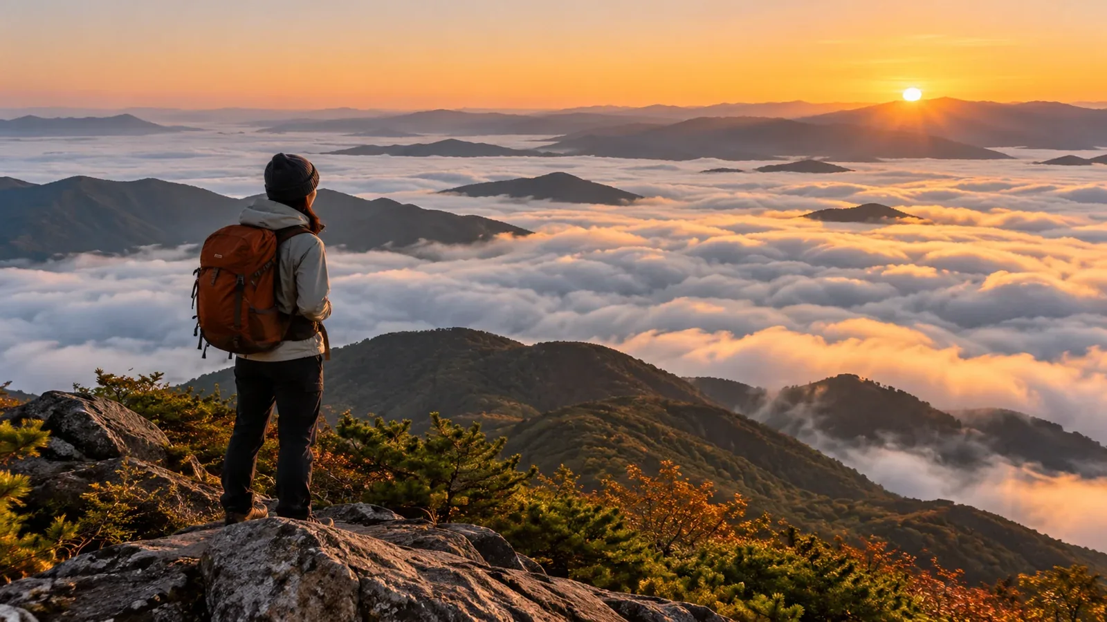
If you want to see a sea of clouds, think about both the destination and the weather that would let you look down on clouds or fog. If conditions are off, the viewpoint itself may be in fog. Understanding how a sea of clouds forms helps you pick a spot and a time even on a familiar local mountain.
This guide explains how a sea of clouds forms and what to check about terrain, timing and access when choosing a viewpoint.
How a sea of clouds forms
A sea of clouds is a layer of cloud or fog that looks like a white sea from above. Radiation fog can form when valleys and basins cool at night. Advection fog or low cloud can form when moist air moves over a colder surface, such as the sea.
Three factors are especially useful to look at.
Cooling and moisture
On a clear night, the ground loses heat. Radiation fog can form when moist air close to the ground cools to its dew point, the temperature at which the air becomes saturated. Damp ground after rain can be another clue. Look for both cooling and moisture from the previous night into the morning.
Wind speed and direction
Light overnight winds favor radiation fog in valleys and basins. With advection fog and low clouds coming in from the sea, wind direction also matters because the wind carries them. Check the forecast both near ground level and at the elevation of the viewpoint.
Elevation and terrain
You need a viewpoint above the top of the cloud or fog layer, with a clear view in that direction. Try viewpoints on the rim of a basin or valley. The thickness and top of the cloud layer change from day to day, so the elevation difference between the viewpoint and the low ground cannot tell you on its own whether you will see anything.
Three things to check when choosing a viewpoint
Use these three checks before settling on a mountain.
1. Is there low ground nearby where fog can collect?
Cold air can collect in basins and valley bottoms, where radiation fog may form. Use a topographic map to compare the location of the viewpoint with basins, valleys and low ground near rivers. Along the coast, sea fog can move inland and form in a different way from radiation fog.
2. Is there an open summit, ridge or viewing platform?
Check whether a summit, ridge or viewing platform looks out over the low ground where fog may collect. Forest or another ridge can block the view. Local authorities and site operators list the location and routes you can use.
3. Can you get there around sunrise?
Radiation fog can offer a sea of clouds around sunrise and may thin as the ground warms. Choose a site open early. Check when trailheads or parking lots open, how you will get back, and whether huts or designated campsites are operating. The National Astronomical Observatory of Japan provides sunrise times.
Choosing a season and time of day
The best season depends on the place and the type of cloud. Asago City in Hyogo identifies late autumn as a good time for a sea of clouds at Takeda Castle Ruins. At Tomamu in Hokkaido, low clouds can move in from the Pacific in summer. Compare the operator's seasonal guidance with the forecast from the night before through the morning.
Check sunrise and opening times first, then plan around when you can walk safely. If you are unfamiliar with walking mountain trails before sunrise, consider a viewpoint you can reach in daylight or a gondola whose operation you can confirm. Give yourself more time if visibility or footing is poor.
In addition to humidity and wind in the valley, check cloud cover, temperature and wind at the elevation of the viewpoint. Keep checking Japan Meteorological Agency forecasts and alerts, along with local updates from the operator, up to departure. If the summit is forecast to be in cloud, visibility will be limited. Change plans if strong wind or lightning is possible.
How to plan for different outcomes
Even with a promising forecast, the view changes with the height and spread of the cloud layer. Make a checklist for the day before and the morning of your visit.
- The evening before. Check overnight and early morning cooling, humidity and wind. For radiation fog, look for moist air cooling on a clear night with light winds.
- Keep other options open. Pick a route you can enjoy even without a sea of clouds. Plan to change destinations or turn back if the weather or footing calls for it.
- Set your safety plan first. If walking a trail in the dark, scout it in daylight and pack a headlamp, spare batteries, a map and warm clothing. Plan around your experience and equipment.
Early starts can bring cold temperatures, dark paths and fast changes in weather. Leave yourself enough time and flexibility to turn back safely.
Next steps
Start with a topographic map and look for viewpoints above a basin, valley or low-lying area. Check official local or hut information for routes and early access. Review the forecast and local updates before departure. Nordwand hiking reports from the same time of year can give you a sense of timing and visibility at that location.
References
- Japan Meteorological Agency: Weather forecasts
- JMA Meteorological Satellite Center: Monitoring fog
- Geospatial Information Authority of Japan: GSI Maps
References and sources
- Japan Meteorological Agency: Weather forecasts
- JMA Meteorological Satellite Center: Monitoring fog
- Geospatial Information Authority of Japan: GSI Maps
- US National Weather Service: Radiation fog
- US National Weather Service: Advection fog
- Asago City: Access and parking at Takeda Castle Ruins during the sea-of-clouds season
- Hoshino Resorts Tomamu: Unkai Terrace
- National Astronomical Observatory of Japan: Calendar calculations
- Japan Meteorological Agency: Weather warnings and advisories
- Ministry of the Environment: Summer hiking equipment for Yakushima