
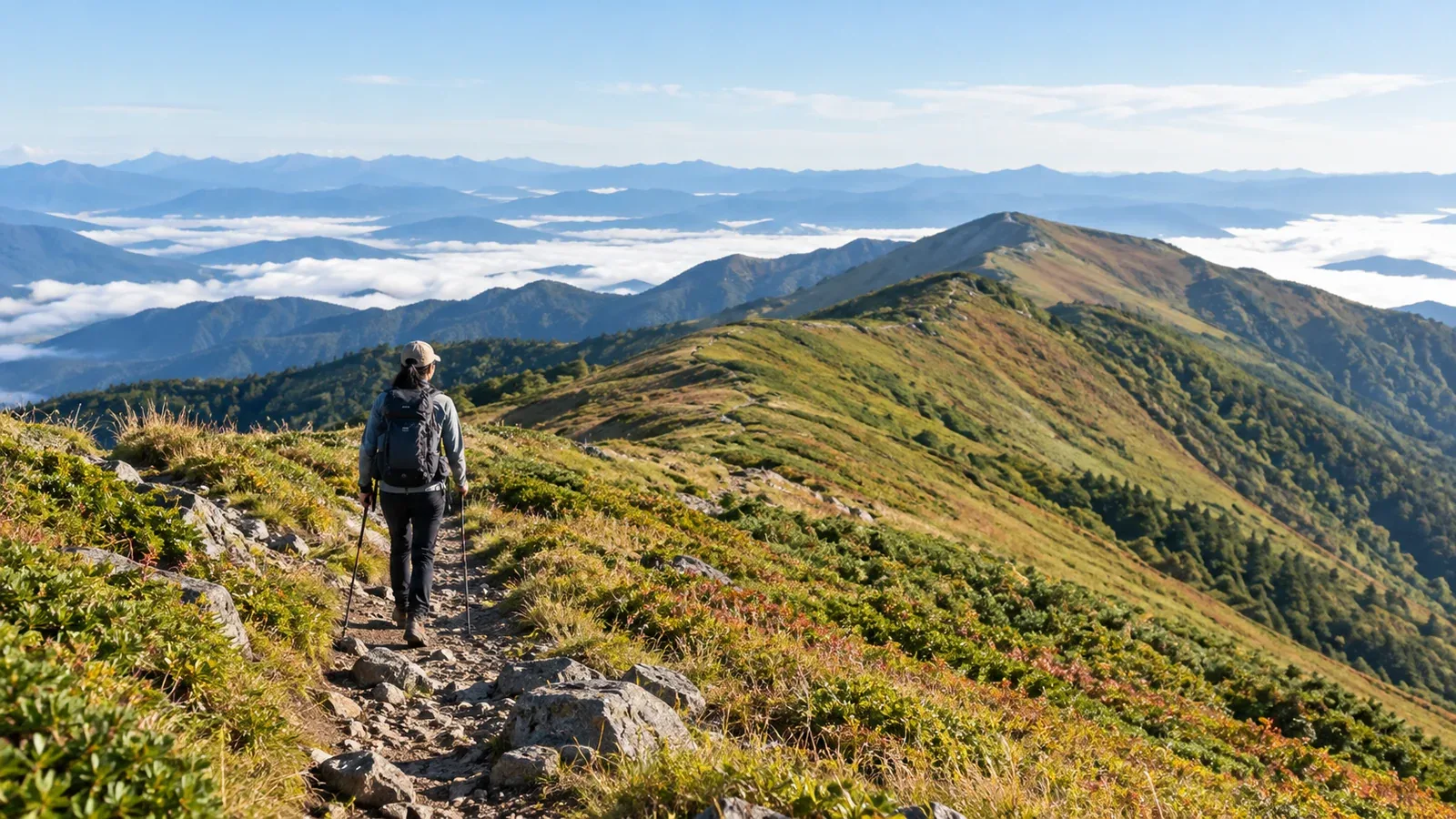
Crowds on a familiar mountain may make you look for somewhere quieter. As well as the mountain’s popularity, think about when you will go and which trail you will take.
This guide shows how to find less crowded mountains and trails and decide whether they suit your fitness and experience.
On the same mountain, the number of people can change with the season, day of the week, trailhead and route. Both the destination and the way you hike it can give you a quieter outing.
When trails are likely to get busy
Crowds are more likely where easy access, seasonal highlights, popular mountains and standard routes come together.
Name recognition and trailhead access are clues. Trailheads served by public transport, large parking lots and nearby tourist facilities may attract visitors who are there for reasons other than hiking. Alongside listings such as Japan’s 100 Famous Mountains, check whether the trailhead is on the way to attractions or events.
Seasonal peaks matter, too. Flowers and autumn foliage can draw crowds when they coincide with Golden Week, autumn holiday weekends or Obon. When choosing a weekday or a date outside the holidays, also check transit, daylight and snow conditions.
Traffic can concentrate on one route. The shortest or standard route can be busy while a different trail on the same mountain sees fewer people. Check the state of the trail and its difficulty against your skills and fitness before choosing an alternate route.
Features to look for in a quieter hike
Use the following as clues while comparing options.
Mountains that take longer or more effort to reach may draw fewer visitors. If buses are infrequent or a forest road is long, check the last bus, road conditions and where you are allowed to park.
Local mountains with moderately demanding routes can be good options. Look at local hiking guides, municipal tourism sites and published route grades. Check route length, elevation gain and trail surface as well as the mountain’s elevation.
Routes centered on a ridge, forest or valley offer a different way to enjoy a mountain whose summit gets busy. Choose an established trail that is open. If the path or signs are unclear, consider your navigation experience and conditions on the ground, and be ready to turn back.
How to narrow down your options
Follow these steps to turn the idea of a quiet hike into a plan.
1. Look beyond the nationally famous peaks near you. Local mountaineering groups and municipalities publish guides to nearby mountains. Look in local bookshops, at visitor centers and on prefectural hiking websites.
2. Check trailhead access on topographic and hiking maps. Look up bus frequency and the last departure, parking rules, road surfaces and closures. Consult the transport operator, municipality or road manager, and choose a fallback if the lot is full.
3. Check crowd patterns with huts or site managers. Huts and visitor centers sometimes post peak periods and recent trail conditions. Check their notices and ask through official channels if you need more detail.
4. Combine weekdays, quieter dates and early starts. Try a weekday, a date away from the seasonal peak, or an early start in daylight. Pick a start time based on daylight, transport and weather, with enough time to get down.
Safety on less-traveled trails
On quiet trails, a passing hiker may be hard to find if you get injured or lose the route. Check that the trail is open and suits your experience before setting out.
Take extra care with the following preparations.
- Submit a hiking notification. Check with the prefectural police or municipality for where and how to file it. Share your itinerary with someone at home as well.
- Review the map ahead of time. Learn the route and junctions, and carry a paper map and compass so you can check your location. If you use an app, download the map to your device before leaving.
- Identify ways to turn back or get down. Plan usable descent routes and a turnaround time for bad weather or illness. Once you find a possible route on the map, check local information to see whether it is open.
- Check communications. Look at phone coverage and battery life. Share your itinerary and expected return ahead of time in case there is no signal. Consider another way to contact help if needed.
Low foot traffic tells you little about difficulty. Quiet mountains can still have rapid weather changes, rising water and rockfall. Check Japan Meteorological Agency forecasts and alerts and local access updates the day before and the day you leave.
Official sources to check
These sources can help you choose a quiet route. Check for updates before leaving.
- Municipal and prefectural hiking or tourism pages. These may list closures, trail conditions and access rules.
- Mountain huts and visitor centers. Ask about typical peak times, current routes and access restrictions.
- Japan Meteorological Agency forecasts and alerts, plus the forecast at your hiking elevation. Check warnings and advisories, and look up expected temperature and wind where you will hike.
- National Police Agency and prefectural police mountain safety information. Find where to submit plans and look up accident statistics.
- GSI topographic maps and hiking maps. Use them for route details and elevation differences.
Next steps
Shortlist two or three mountains or routes from local government or mountaineering group information. Check access, typical crowds and closures with the site manager. You can also ask local hikers in Nordwand’s Base Camp. Once the plan is set, file a hiking notification and share your itinerary with someone at home before leaving.
References
- Japan Meteorological Agency: Weather forecasts
- National Police Agency: Mountain and water accident statistics
- Geospatial Information Authority of Japan: GSI Maps
- Kanagawa Prefecture: Hiking in Kanagawa
References and sources
- Japan Meteorological Agency: Weather forecasts
- National Police Agency: Mountain and water accident statistics
- Geospatial Information Authority of Japan: GSI Maps
- Kanagawa Prefecture: Hiking in Kanagawa
- Nagano Prefecture: Shinshu mountain route grading
- Japan Meteorological Agency: Weather warnings and advisories
- National Police Agency: Summer mountain accident prevention guidance
- Geospatial Information Authority of Japan: Elevation profiles in GSI Maps