
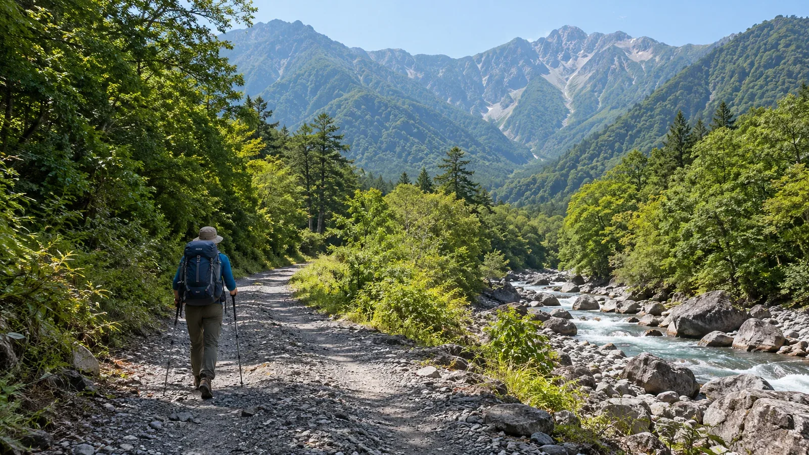
When planning a hike, you may read that the approach is long or needs care. In hiking, the approach is the whole journey from home or the nearest public transport stop to the trailhead where the hike begins. It is the travel you do before starting up the mountain.
Beginners can overlook the time, energy, cost and safety considerations of the approach itself. Some trailheads are easy to reach by car or public transport. Others involve a forest-road walk of several hours each way or a river crossing. If you leave those details out of the plan, you can arrive tired or behind schedule before the hike even starts.
What a long or short approach means for your hike
The length of an approach can mean two things. One is the physical distance or time, as in a 2-hour walk along a forest road to the trailhead. The other is how difficult it is to get there, as when there is no regular public transport and you need a car or a dedicated hiking bus.
A typical short approach starts at a railway station or a large car park within easy walking distance of the trail. Many low mountains suitable for beginners have this arrangement. You can use most of your energy for the hike itself, which makes it easier to plan.
On mountains with long approaches, the following are more likely.
- Getting to the trailhead late leaves less time on the mountain.
- Walking on forest roads or unpaved roads tires your legs before the hike.
- Missing the last service or bus can leave you stranded after descending.
- A long return to the trailhead can make it harder to decide promptly to turn back when the weather changes.
A practical beginner choice is a mountain with a short approach, public transport or an established car park, and a trailhead with a noticeboard and toilets.
Approach options and what to watch for
Public transport: trains and buses
Many regions add hiking buses or extra services during the season. Operating days, schedules and stop locations can change from year to year. Check current times and service status before departure with the bus operator or the local authority’s tourism or mountain office. Check again even if you used the route last year.
Private car
Driving gives you flexibility to start early. Car park capacity, fees and peak-season crowds vary by area. At popular mountains, car parks may fill on weekends. Look up when you should arrive and where alternative parking is available. For current parking and trailhead information, check official sources from the local municipality, forest management office or mountain hut.
Forest roads and unpaved routes on foot
Sometimes the road ends before the trailhead and the approach continues on foot along a forestry or service road. These are not hiking trails and may have few signs. Mark the trailhead on a paper map or app and avoid walking alone close to sunset. Local authorities or Forestry Agency offices issue notices about damaged and closed forest roads. Check them the day before the hike.
How to research the approach
The following order helps you cover the details.
- Locate the trailhead on the map. Decide which trailhead you will use, as well as which mountain to climb. One mountain can have several starts with very different approaches.
- Check transport and travel time. Use official transport or local authority sources to check train and bus times and car park locations and capacity.
- Check the trailhead’s elevation and facilities. A higher trailhead can mean a greater change in air pressure during the journey, which is relevant to how your body adjusts to altitude. High trailheads may also have shorter opening seasons. Ask the local authority or site manager.
- Check the distance and condition of any walking section. If you need to walk before reaching the trail, find out whether the road is paved and whether there is a river crossing.
- Research the return journey the same way. If using public transport, work back from the last service to set an approximate finish time. That makes it easier to plan the hike itself.
Common approach problems and how to avoid them
“I got to the trailhead later than expected.” It is easy to underestimate the approach. The walking time in a general map app may not reflect your pace with a full pack. Allow extra time for your gear weight and pace.
“The car park was full, so I parked on the road.” Roadside parking or leaving the car where it obstructs traffic can cause problems for local residents and emergency vehicles. Look up alternative car parks or public transport in advance.
“I got lost on the forest road.” Car navigation systems and general map apps do not always show forest roads accurately. Find the trailhead coordinates in a hiking app or on a paper topographic map and make sure you can use that information offline.
“I missed the bus back.” If the return uses a different mode of transport, such as taking the bus there and a taxi back, changing or arranging the booking may take time. Save contact details for alternatives before leaving.
The approach and your hiking plan
A trip plan or hiking notification form may ask how you will reach the trail and which trailhead you will use. The trailhead is often an initial point of reference for rescuers. Making sure someone else knows where you started can help rescuers respond faster. Check the prefectural police or local mountain office guidance for where and how to submit the plan.
What to do next
Once you have picked a mountain, start by choosing the trailhead and finding out how to get there. Check access with the local authority, hut or bus operator and write down the last return service along with your outbound plans. Nordwand’s Base Camp can also help you ask hikers who know the area what the approach is like in practice.
References
- National Police Agency and prefectural police: mountain incident statistics and guidance on filing a hiking notification
- Forestry Agency: forest-road information and traffic restrictions
- Prefectural and municipal tourism or mountain offices: trailhead and access information