
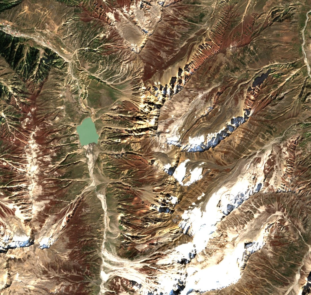
Lake and Landform
The Sentinel-2B image from 1 October 2024 shows the lake in green to the west of the ridge. The Pakistan Bureau of Statistics reports an elevation of 3,224 metres for the lake and attributes its formation to glacial debris that blocked a valley stream. The lake feeds the Kunhar River. Malika Parbat, a separate higher peak, appears farther south on the 1925 map.
The Gazetteer of the Hazara District, published in 1908, includes a photograph of the ridge north of the lake and recounts a local tale about a prince who comes to the lake and meets a fairy.
The 1926 Triangulation
In 1926, surveyor J. B. P. Angwin tried to reach the mapped summit from Butta Kundi. Some people he spoke with did not recognise the map’s name for the hill. He went instead to a point farther north on the same ridge. It was later named Chakbari Nar after a Gujar encampment at its foot. From there he could see the lake.
Angwin heard and saw repeated rockfall around the ground his party reached. His report places the observation at Chakbari Nar.
A Later Visit
A. H. Donald visited the lake in June 1942 and recorded variants of its name in use locally. He saw no rockfalls during his visit. He also heard a different version of the fairy story, in which a demon banishes her to the bottom of the lake. His account appeared in the Himalayan Journal in 1947.