
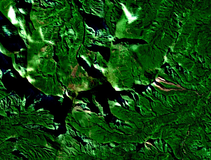
Elevation and Situation
The name appears in two forms in published mapping: Pito Hiti and Pitohiti. The Environment Directorate's figure of 2,110 metres places it among the highest terrain on Tahiti Nui, in close proximity to Orohena and Aoraʻi. It remains a distinct summit rather than a subsidiary point of either peak.
Shaped by Drainage, Not Construction
The IRD Atlas of French Polynesia explains that radially organised drainage cut deeply into Tahiti Nui's flanks; where opposing systems met near upper catchments, the intervening terrain narrowed into pyramid-shaped summits. The atlas identifies Pito Hiti as one such peak — a form produced by erosion, separate from the island's original volcanic construction.
A Biodiversity Interest Area
The government environmental diagnosis of French Polynesia identifies Pito Hiti, Pihaiateta, and surrounding ridges and valleys as an area of biodiversity interest. No formal legal protection designation is recorded in the available reporting, nor is any ceremonial role attributed to the summit. The landscape's inaccessibility has contributed to the persistence of species across this zone.