
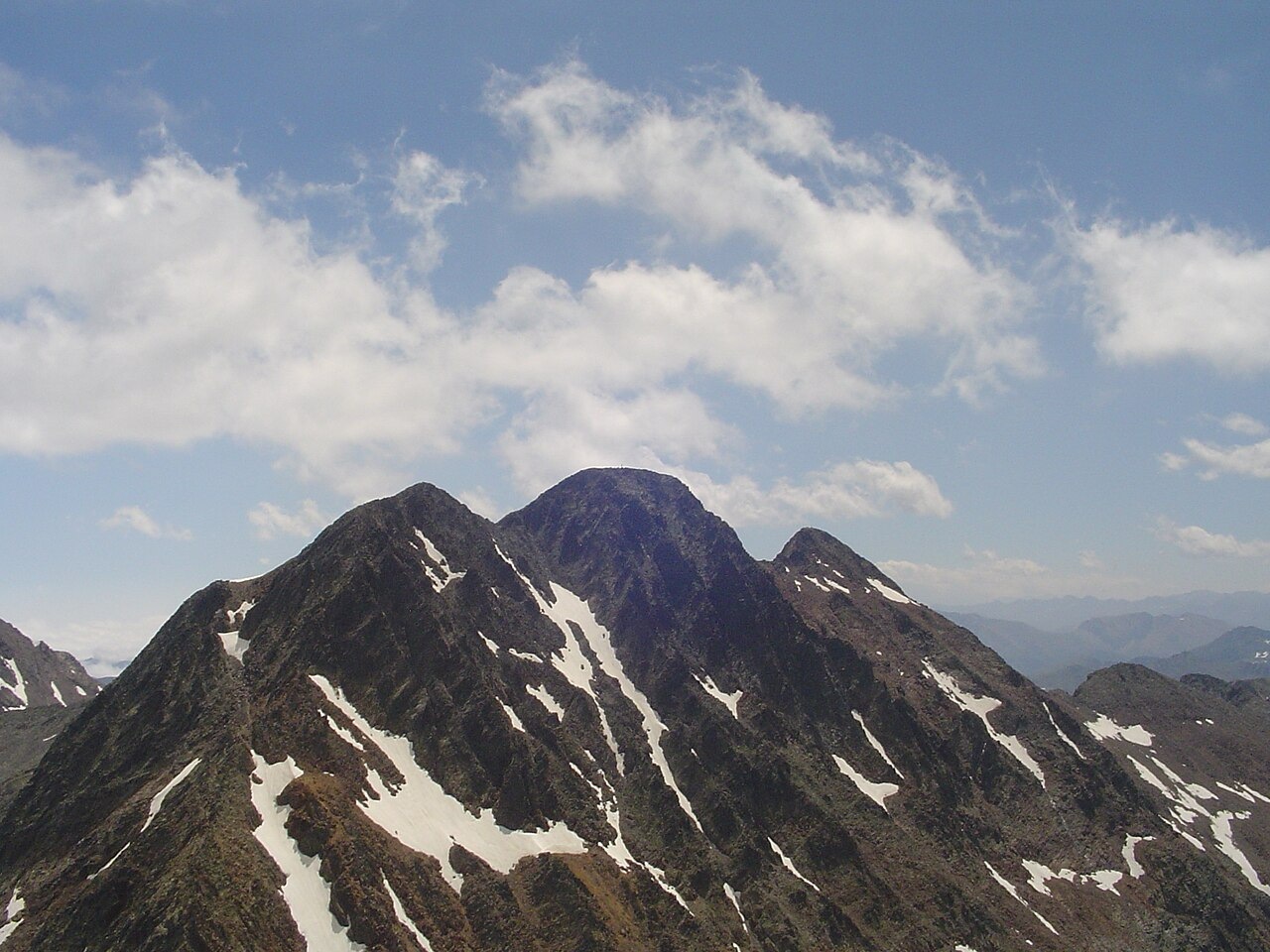
Three Summits on One Crest
The Cartographic and Geological Institute of Catalonia records Pic de Verdaguer at 3,129.4 metres in its summit register. The main Pica d'Estats is surveyed at 3,143.45 metres, a figure derived from the 2010 and 2015 geodetic campaigns, placing the two tops roughly 150 metres apart horizontally along the ridge. A third summit, Punta Gabarró, lies to the east of the central peak, completing the group. The Port de Sotllo is a saddle to the west connecting Vall Ferrera on the Catalan side with the Auzat–Vic de Sos valley in Ariège, and the separately named Pic de Sotllo stands farther along that same western extension of the massif.
The three summits run roughly west to east along the high crest, with Alins in Pallars Sobirà on the southern side and Ariège to the north. The Generalitat de Catalunya explicitly names the westernmost point Pic de Verdaguer, distinguishing it from both the central main summit and Punta Gabarró to the east.
Verdaguer's Ascent and a Centenary Name
In 1883, the Catalan poet and priest Jacint Verdaguer climbed the Pica d'Estats during a broader cycle of Pyrenean excursions, an ascent documented in chronologies held at the Biblioteca de Catalunya. His epic poem Canigó, with its 1886 edition date and physical publication in late 1885, grew from that period of mountain travel. A surviving annotated manuscript draft, catalogued as 375/2 at the Biblioteca de Catalunya, shows extensive edits that scholars at the Institute of Catalan Studies have studied in detail.
One hundred years after the 1883 ascent, the western subsidiary summit was named Pic de Verdaguer in the poet's honour in 1983, an occasion marked by centenary commemorations. A metal cross on the main summit is attributed by the Alt Pirineu Natural Park to the same centenary event. The Catalan hiking federation published a commemorative book, catalogued by the Centre de Cultura Bibliotecària Excursionista in 1985.
Glacial Lakes and the Approach from Vall Ferrera
The massif sits within the axial Pyrenees, where the Alt Pirineu Natural Park's geological inventory records broad sequences of Cambrian and Ordovician sandstones and siltstones throughout the park's older Paleozoic terrain. Glacial action shaped the valleys leading up from Vall Ferrera, leaving two lakes in the landscape below the connected ridge. The park measures Estany de Sotllo at 4.8 hectares and Estany d'Estats at 5.3 hectares, both formed by ice erosion in the approach terrain.
The Vallferrera mountain shelter opened in 1935 and anchors the valley approach to the massif from the south. The Port de Sotllo is the saddle between Pic de Verdaguer and Pic de Sotllo, and the Alt Pirineu Natural Park describes it as a foot crossing linking Vall Ferrera with the valley on the Ariège side.