
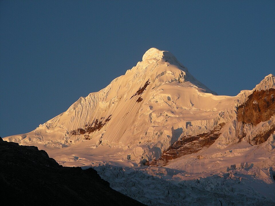
Elevation in cartographic records
Contour lines compiled by Peakbagger range between 5,960 and 5,980 m. Historical alpine accounts cite around 6,030 m. This variation between sources is characteristic of summits in the Cordillera Blanca, where measurements have been taken at different times and using different methodologies.
The place name and glacial hydrology
In 1966, geographer César Morales Arnao interpreted Tocllaraju as meaning ice trap in Quechua. The INEI records glaciers bearing this name among those draining into the Río Santa basin, integrating the mountain into the regional hydrology of Áncash.
First documented ascents
The 1941 inventory records that a German expedition climbed the summit in 1939, under the spelling Ticliaraju. On 30 June 1959, Leigh Ortenburger and Kermith Ross reached the top, according to the North American Andean expedition report.