
Survey of Summit Elevation
Mongolia's General Authority for Land Administration, Geodesy and Cartography published the 4,351 m measurement in its bulletin dated 15 October 2025. The agency's report identifies the neighbouring three-country tripoint, a geographically distinct summit, by its official point name Tavan Bogd Uul and notes that climbers commonly call it Nairamdal. The same survey measured that tripoint at 4,081 m.
Potanin Glacier and Glaciological Monitoring
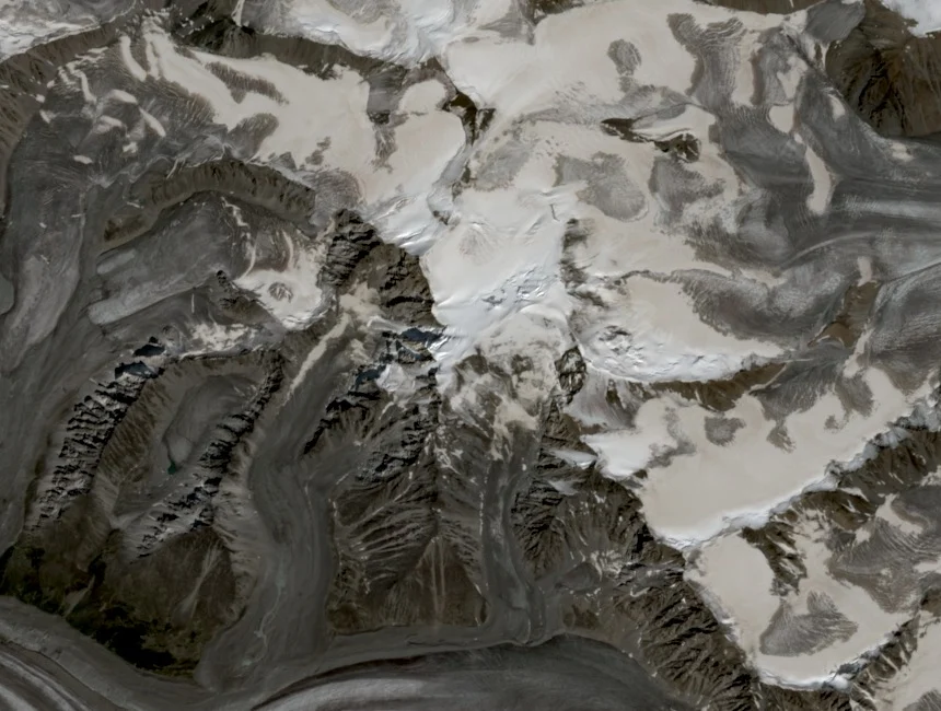
The Potanin Glacier flows down the eastern flank of the Tavan Bogd high ridge and forms the principal approach terrain from the Mongolian side. Researchers from the Institute of Meteorology and Hydrology of Mongolia, in work published in Frontiers in Earth Science, began systematic monitoring of the Potanin alongside Tsambagarav, Türgen, and Sutai glaciers from 2003, accumulating one of the region's longer continuous glaciological records.
First Recorded Winter Ascent, 1998
On 3 March 1998, six members of a St Petersburg expedition completed the first recorded winter ascent of Khüiten during a 27-day ski traverse of the Altai, as documented in the American Alpine Journal. Sources cited in the same journal record that the Tronov brothers may have reached an intermediate summit on the Tavan Bogd massif in 1915.
North Ridge Route
Graham Taylor and Gregory Leonard climbed Khüiten via the north ridge on December 22, an ascent reported in the 2007 American Alpine Journal. The north ridge's aspect sustains firm snow and ice through the Altai winter. The Potanin Glacier crossing on the eastern approach requires navigation of crevassed terrain under sub-zero conditions.