
Topography and Survey Record
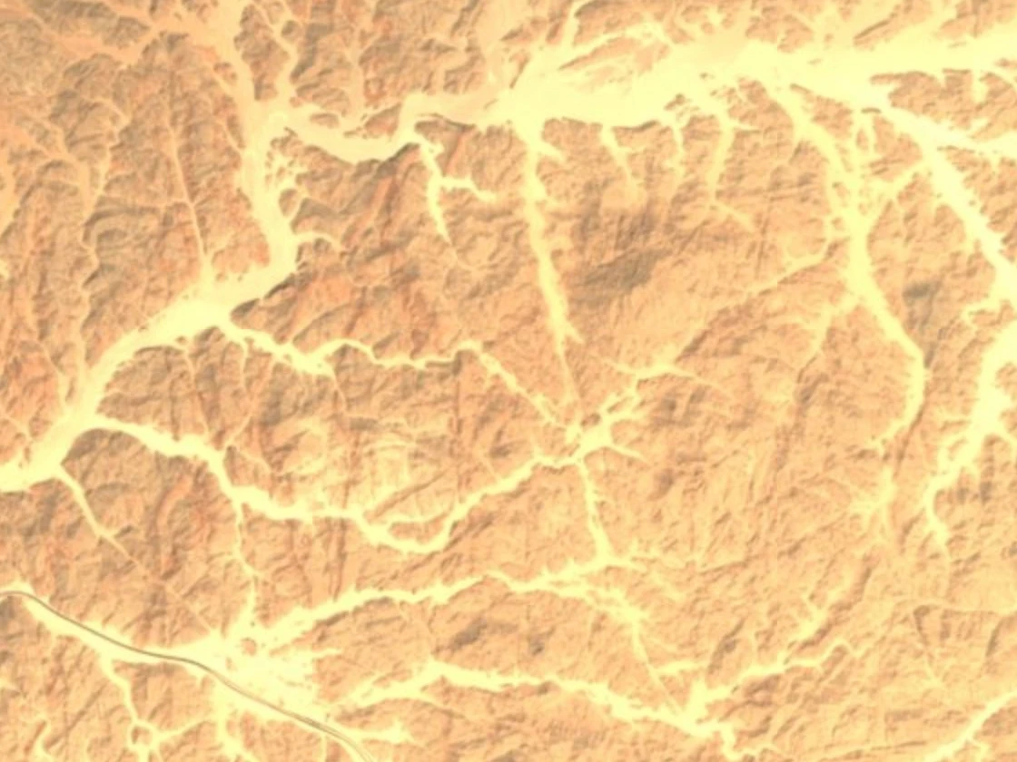
The Quseir sheet uses 50 m contour intervals. Around Jabal Tarbush al-Misri, the lines bunch together where the rocky slopes steepen above the wadis, the channels that carry water after rains. In the satellite image, the rocky summit lies just above and to the right of the centre. The pale channel beds branch across much of the frame.
The name and the spot height on the old sheet place the mountain among the ridges of Egypt’s mainland Red Sea coast. The modern geographical names register gives the form Jabal Tarbush al-Misri. The sheet also gives the nearby ruins their Roman name, Mons Claudianus, putting a surveyed summit and an archaeological site in the same landscape.
Mons Claudianus and the Quarry Landscape
At nearby Wadi Umm Hussein, the Roman fort served as the base for quarrying at Mons Claudianus. An international team working with the Institut français d’archéologie orientale surveyed and excavated the sites from 1987 to 1993. Quarrying supplied Roman building projects in the late first and second centuries CE. A geological survey by James A. Harrell and Per Storemyr records the worked faces and slipways used to move heavy stone downhill.
The Oxford University Museum of Natural History describes its sample from Mons Claudianus, Corsi specimen 847, as weakly metamorphosed granodiorite. It contains plagioclase, hornblende, biotite and a smaller amount of quartz. The stone was known as granito del Foro in reference to the columns of Trajan’s Forum in Rome.
Records on Pottery
Excavations recovered more than 9,000 ostraca, fragments of pottery carrying inked texts mostly in Greek, with some in Latin. Those published by the Institut français d’archéologie orientale record daily quarry work and administrative tasks. Archaeologists can piece together the work at the fort from accounts and instructions left by the people who organized it.
Food Supplies in the Desert
In 1996, archaeobotanist Marijke van der Veen described dried plant remains recovered at the settlement. She found evidence of supplies ranging from staple foods to luxuries, as well as consignments of straw and chaff. The chaff could look like evidence of local cultivation in isolation. Her study showed that the unwanted parts of cereal crops also reached the desert settlement from elsewhere, alongside the supplies needed to keep the quarries working.