
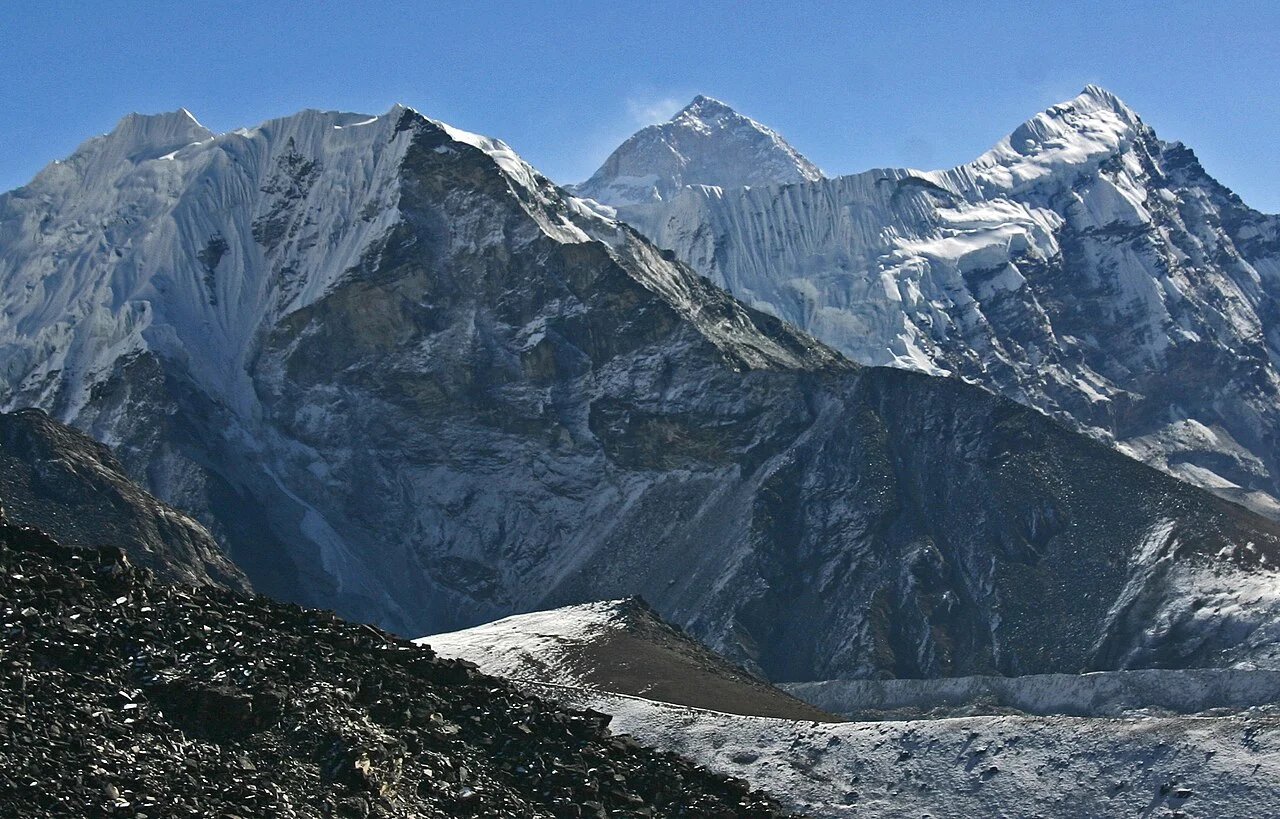
A Name Born from Glaciers
The English name Island Peak originates with members of the 1953 British Everest Expedition, who described the mountain as appearing to rise as an island among surrounding glaciers fed from the Lhotse and Imja–Barun watershed. John Hunt's published account records that Charles Evans, Alfred Gregory, Charles Wylie, and Tenzing Norgay, accompanied by seven Sherpa climbers, ascended the peak as an acclimatisation exercise during the Everest attempt.
The Himalayan Database records the peak under the identifier IMJA Imjatse at 6,165 metres. The Nepal Department of Tourism gives an official figure of 6,160 metres. These two figures differ by five metres.
Early Expedition Accounts and the Question of Priority
Three early records document ascents of Imja Tse. Hunt's 1953 account describes a climb during the British Everest Expedition. Dyhrenfurth records Erwin Schneider's ascent in 1955 during an Austrian survey of the region. The Himalayan Database carries a 1956 ascent entry.
Dyhrenfurth's American Alpine Journal account records that Schneider surveyed the Imja Khola basin photogrammetrically and climbed Island Peak during that work.
Imja Tsho and the Glacial Lake Below
Imja Tsho is a glacial lake situated near the base of Imja Tse's approach terrain; it is a distinct geographic feature from the summit and should not be conflated with it. By 2016 the lake had drawn international attention as a glacial lake outburst flood risk, and the Nepal government in partnership with UNDP undertook a documented engineering intervention: a constructed drainage channel lowered the lake's water level by 3.4 metres. The project also installed community-based early warning systems in settlements downstream, providing residents of the Imja valley with a structured mechanism for responding to sudden water-level changes.
A Nepal–UNDP project completed in 2016 at Imja Tsho lowered the lake's water level by 3.4 metres through an engineered open channel and installed community early warning infrastructure.
Administrative Status and the Khumbu Context
The Department of Tourism and the SPCC both document that the names Imja Tse and Island Peak designate the same Khumbu summit.
The Himalayan Database lists Imja Tse among the trekking peaks regulated by the NMA rather than the higher-tier expedition peaks governed by the Department of Tourism's separate permit category. Its documented connection to the 1953 Everest expedition and the engineering work carried out at Imja Tsho give the peak a layered historical record within the Khumbu Himal.