
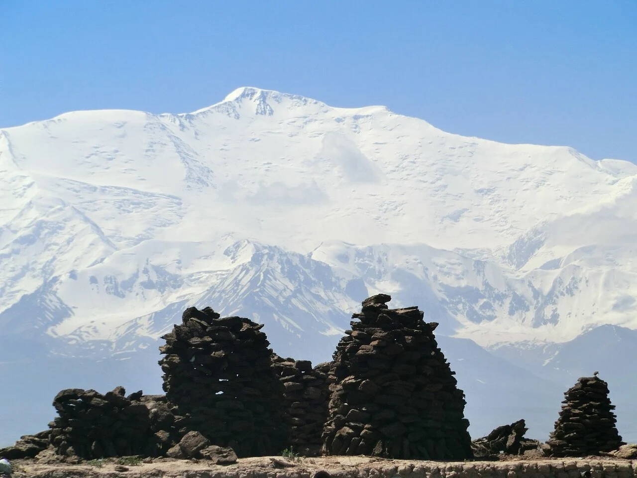
Names across political eras
The UK Permanent Committee on Geographical Names records Ibn Sina Peak as the conventional English form and gives the Tajik rendering as Qullai Abualí Ibni Sino. The Kyrgyz Alpine Club uses Lenin Peak in its institutional records on the Kyrgyz side of the border. Expedition documents from 1928 refer to the mountain as Kaufmann, then the prevailing designation. By the time of the 1930 American Alpine Journal account Soviet authorities had renamed it Lenin. Avicenna appears in the record as a further variant.
The 1928 Alai-Pamir expedition
A German–Soviet scientific and mapping expedition visited the Alai-Pamir region in 1928, and Eugen Allwein, Erwin Schneider, and Karl Wien reached the summit on 25 September, as recorded in Alpenverein sources and the Alpine Journal. Soviet surveyors established principal positions across the region. Richard Finsterwalder and H. Biersack conducted photogrammetric survey work with occasional assistance from Karl Wien, according to the 1930 AAJ account.
Trans-Alay position and range
The Trans-Alay crest at this point forms the Tajikistan–Kyrgyzstan border within the broader Pamir system. At 7,134 metres the peak is the range's highest point, rising within the glaciated terrain of the region.