
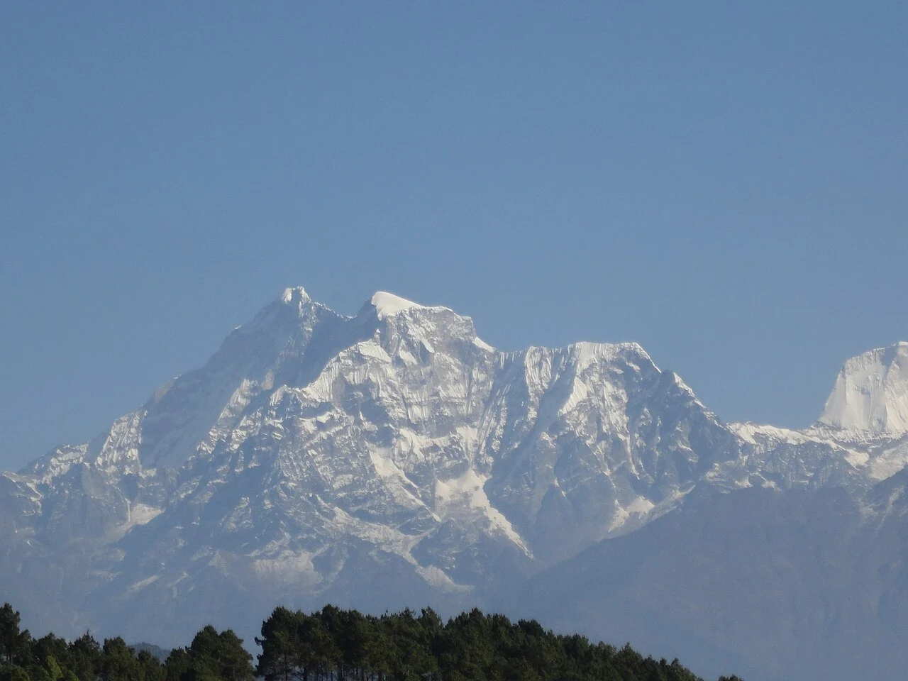
Names, Sacred Standing, and Competing Traditions
The name Gauri Shankar joins two Hindu divine figures, and the mountain holds religious significance for communities in the region. The American Alpine Journal's editorial notes on the 1979 expedition record a Tibetan name, Jomo Tseringma, and attribute it to local religious tradition.
The two-summit structure of the mountain adds further complexity to nomenclature. Nepal's Department of Tourism lists the lower southern point simply as Gauri at 6,983 m, treating it as a separate entry from the main north summit called Gauri Shanker in government records. The distinction between summit point, official name, and elevation figure matters here, since accounts that treat the two tops interchangeably risk misrepresenting both the topography and the climbing record.
The 1979 First Ascent of the North Summit
The north summit was reached for the first time on 8 May 1979 by Dorje Sherpa and John Roskelley, members of a joint Nepalese–American expedition co-led by Pertemba Sherpa and William A. Read. Roskelley's first-person account in the American Alpine Journal describes the route as the west face, while the Himalayan Database records the same ascent under the southwest face.
Roskelley's report offers an unusually human account of how the summit pair was chosen. He recounts that Pertemba Sherpa, as co-leader, offered the summit opportunity to Dorje Sherpa rather than taking it himself — a detail that speaks to the internal dynamics of the expedition and to Pertemba's standing within it. The same account records a final radio contact from the summit team at 15:15, grounding the ascent in the specific chronology Roskelley documented at the time.
The South Summit and a Second 1979 Expedition
Later in the same year, a British expedition reached the south summit of Gauri Shankar. The Himalayan Database records this as a south summit ascent only, not a traverse to or ascent of the higher north top. The distinction is consequential: the two 1979 expeditions climbed different points on the same mountain, by different routes, under different national flags, and the south summit at 6,983 m stands nearly 150 m below the north summit by Department of Tourism figures. Treating either as a repeat of the other, or combining them into a single narrative of the peak being climbed twice in one year without clarification, would misrepresent what each team accomplished.
The two 1979 expeditions completed the first ascents of both summits of Gauri Shankar within a single year: the north summit on 8 May and the south summit later that same year.
Elevation, Survey Data, and the Limits of the Record
The north summit is recorded at 7,134 m in Nepal's Department of Tourism register and at 7,135 m in the Himalayan Database. The south summit is listed separately by the Department of Tourism at 6,983 m.
Gauri Shankar — listed in government records under the names Gauri Shanker and Gauri — sits in the Rolwaling Himal on the Nepal–China border and carries the Himalayan Database identifier GAUR.