
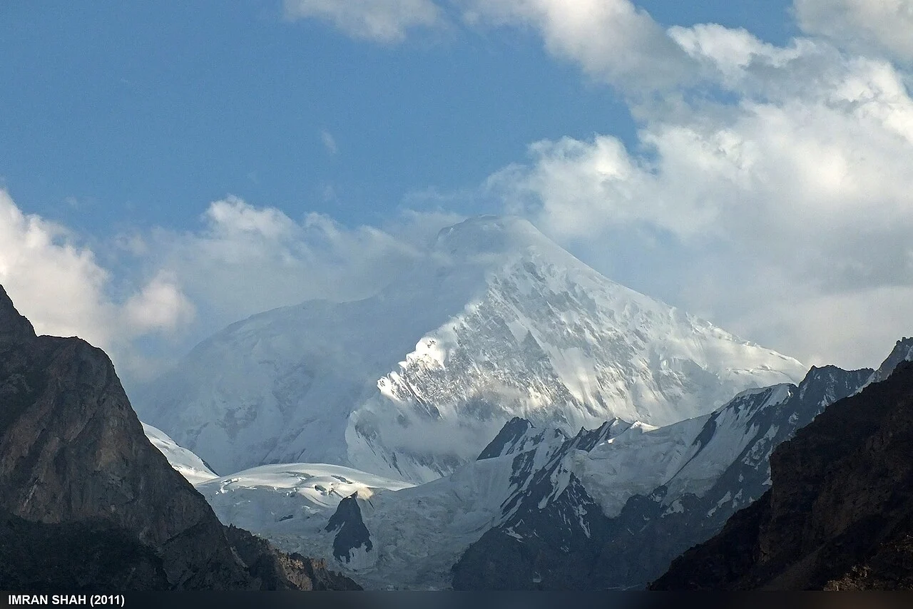
Location and Identity
Diran reaches 7,266 meters and appears in High Asia catalogs alongside its alternate name, Minapin Peak, used in expedition reports. It sits east of Rakaposhi, and the Minapin Glacier connects the surrounding landscape to the routes climbers have historically used to approach the mountain. Diran is distinct from the nearby peak Malubiting.
Path to the First Ascent
Before the first ascent, a 1954 reconnaissance by Mathias Rebitsch and a 1965 Kyoto University team established precedents recorded in the 1968 expedition report. On August 17, 1968, Rainer Göschl, Rudolf Pischinger, and Hanns Schell reached the summit by ascending the Minapin Glacier and the northwest face, then continuing along the western ridge from the saddle.
Beyond the summit ridge
On the ridge, the 1968 climbers attempted to use a body-heat-powered oxygen generator, but the device failed and they continued without it. Wind-slab snow and a plateau of deep snow separated what appeared to be the end of the climb from the true high point, which the party reached at 4:15 pm.