
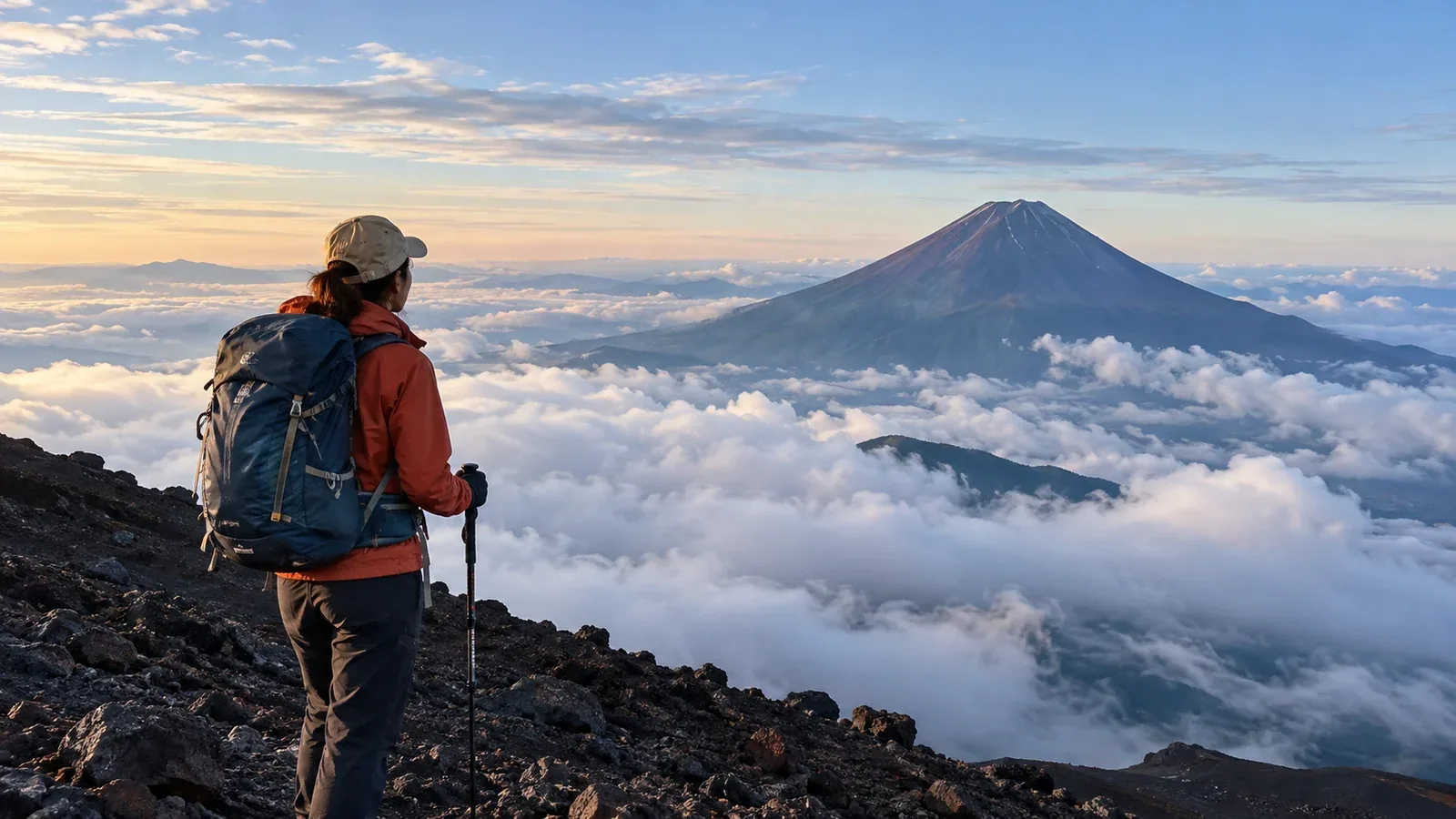
Choosing a day is one of the first decisions on a Mount Fuji trip. A sunny morning at the foot of the mountain can coincide with high winds and dense fog near the summit. On other days the summit may stand above a cloud layer.
Look at the wind, temperature, cloud and broader weather pattern over the hours you plan to ascend and descend. Here’s where to find that information and how to use it before you leave and on the trail.
Why the summit has its own weather
Mount Fuji rises to 3,776 m on an isolated peak. Even in the summer climbing season, the summit can be near freezing before sunrise. Wind makes it feel colder, especially if you are wet or standing still.
Summer thunderstorms can develop after a clear morning. If your descent runs into the afternoon, build that part of the route into your weather check. Thunderstorms can also occur earlier in the day.
A typhoon, front or nearby low-pressure system can bring gusts, heavy rain and poor visibility. Check how the system is expected to move during the whole outing.
Where to check the forecast
1. Japan Meteorological Agency warnings and observations
Check warnings and advisories for both Yamanashi and Shizuoka, plus JMA radar and its short-range lightning outlook. JMA readings at the summit describe observed conditions. Check the timestamp and use a separate forecast for conditions later in the day.
2. Mountain forecasts by elevation
The official climbing site links to forecasts for the upper mountain and the fifth stations. Look at the forecast hour and elevation, and check sustained winds and gusts where both are available. Different forecasts can disagree, which is a reason to leave a wider margin or move the climb.
3. Trail operators and mountain huts
The official climbing site and prefectural notices show route closures. Huts and trailhead operators sometimes publish recent updates or camera views of snow, fog and wind. Check when an update was made and where the camera is pointing.
4. Surface and upper-air weather charts
JMA charts can help you see whether a front, low-pressure system or typhoon is approaching. If you are learning to read charts, compare them with the agency’s outlook and with a summit forecast for your actual travel window.
How to decide whether to go
Set limits based on the most exposed part of your route and the least experienced member of your group. Postpone if the conditions exceed your group’s experience or equipment.
Wind and gusts. Check both the average wind and the stronger gusts that can affect balance. Wind direction and exposure also matter. If gusts are already making people stumble or making it difficult to walk steadily, stop advancing and move to a safer place when you can.
Precipitation and lightning. JMA’s probability of precipitation is the chance of at least 1 mm in a stated period. Check thunderstorm advisories and lightning nowcasts separately, and carry rain gear. If you hear thunder, seek a substantial enclosed building such as a staffed hut if you can reach it safely. Ask for help if you cannot move safely.
Temperature and exposure. Check summit temperatures for your walking and waiting hours, alongside wind and rain. Bring warm layers and waterproof, windproof outerwear even in summer. Add a layer before getting chilled during a stop.
Cloud and visibility. Check whether cloud is expected to cover the parts of the route you will use. Fog can hide junctions and signs. Stop if you lose your bearings. Retrace a known route only if you can do so safely. Otherwise stay in a safe place and seek help.
When to check again
Update your decision as the forecast and trail conditions change.
Three or four days out. Look for the broad trend, including approaching fronts or tropical storms. Check the cancellation terms for transport and your hut while there is time to change plans.
The night before. Check warnings, the summit forecast by hour and your descent window. If the forecast calls for severe conditions on your route, reschedule while you can still revise travel plans.
Before leaving and at the trailhead. Recheck official warnings, the summit forecast and recent local reports. Be prepared to postpone if conditions have deteriorated since the previous evening.
On the trail. Watch the clouds, wind and visibility. Know where you can turn back or shelter, and set a turnaround time that leaves room for the descent. If the weather deteriorates, follow local guidance and act while you can still move safely.
Other reasons to change the plan
Even with a favorable forecast, verify these three things.
- Trail openings. The summer season varies by route and year. Check your ascent and descent trails, including summit paths if you plan to use them.
- Entry and access rules. Check current fees, overnight access, reservations and road or bus changes for your route.
- How everyone is feeling. Illness and fatigue can affect pace and judgment. Postpone if a member of the group is unwell, and stop ascending if symptoms develop at altitude.
Before your climb
Open the official Fuji weather page and find the links for JMA warnings and the mountain forecast. Write down the forecast hours you need, the conditions that will make you postpone, and the latest time you can safely turn around. If you are new to high mountain weather, discuss the plan with a qualified guide or someone who knows the route.
Sources
- Official Mount Fuji climbing site: weather and forecast links
- Japan Meteorological Agency: forecasts and weather charts
- Japan Meteorological Agency: radar and lightning nowcasts
- Official Mount Fuji climbing site: season dates and emergency guidance