
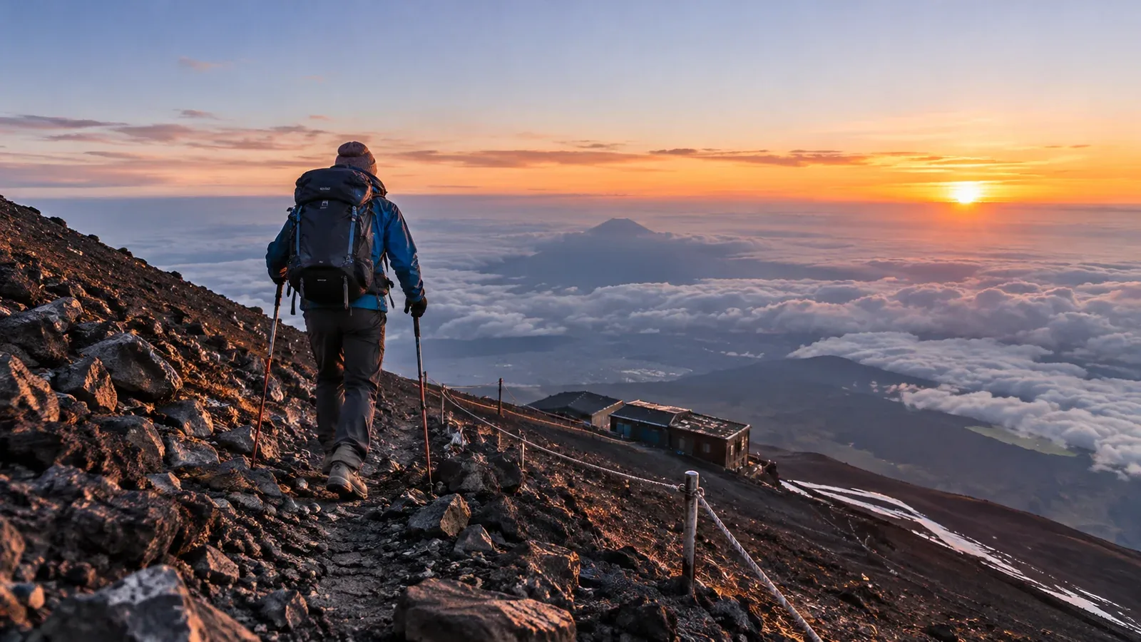
Can you climb Mount Fuji alone? Some hikers do, but the 3,776 m ascent requires you to recognize problems, navigate and make decisions independently. Think through altitude illness, abrupt changes in weather, crowds and fatigue before choosing a solo trip.
Even during the open season, people may be far apart after dark, in poor weather or on quieter sections. Plan to find your own way and call for help if you can. For a first high-altitude hike, consider an experienced companion or qualified guide.
What changes when you hike alone
At altitude, lower air pressure means less oxygen is available with each breath. Altitude illness can affect fit people and hikers who have previously climbed Fuji. With nobody to notice a change in your pace or coordination, take a new headache, nausea or unusual fatigue seriously.
Summit temperatures can approach freezing before sunrise even in summer. Fog, gusts and lightning can develop while you are walking. Decide where you could turn back or shelter before exposure and fatigue make decisions harder.
On busy days, queues can slow the upper trails. Standing still in cold wind can chill you quickly. Check when your route is busiest and keep a warm layer accessible for stops.
Three things to arrange before leaving
File a hiking plan and arrange a check-in
Use the current Yamanashi or Shizuoka filing instructions. Include your ascent and descent routes, planned hut, expected return time and emergency contact details. Give a copy privately to someone you trust. Agree when you will check in and what they will do if you miss the deadline and cannot be reached. A hiking plan is a separate step from trail entry or hut booking.
Check hut reservations and turnaround points
Map the huts, staffed facilities and safe points where you can turn back. Check opening dates and the distances between them. A hut can be closed, full or far away, so confirm any overnight stay directly and plan how to descend if your itinerary changes.
Check gear you may need on your own
Pack for delays and check that you can use the gear without help.
- Headlamp and backup power. Test the lamp before leaving and pack spare batteries or a second light.
- Warm layers and rain gear. Carry insulation, gloves and a waterproof jacket and trousers that also block wind.
- Food and water. Carry enough for the planned walk and delays, and verify where any resupply will be available.
- Offline navigation and phone power. Download maps, carry a power bank and bring a backup you know how to use. Mobile coverage can be patchy.
- First aid. Carry a kit you can use for blisters and minor injuries, plus any personal medication you need.
When to turn back
Choose your turnaround conditions while you are rested. Apply them early enough to get down safely.
- Symptoms at altitude. Stop ascending if you develop a new headache, nausea, dizziness or unusual fatigue. If symptoms worsen or fail to improve, descend while you can do so safely. Confusion, trouble walking straight or shortness of breath at rest are emergencies. Call 119 or 110 if symptoms are severe or you cannot descend safely.
- Deteriorating weather. If you hear thunder, seek a substantial enclosed building such as a staffed hut if you can reach it safely. Gusts that disrupt your balance and fog that hides the marked route are reasons to stop advancing. Retrace your route only if you know it and can move safely. Call for help if you are stranded or in danger.
- Running behind. Recalculate as soon as your pace drops or queues build. Turn back while you still have enough time and energy to descend, with a margin for weather, daylight and the last transport.
Keep these conditions and the emergency numbers with your map. If you call for rescue, give the trail name, station, nearest sign number or coordinates, and describe your condition.
What you can use to your advantage
Going at your own pace can help you notice early changes in breathing, appetite, balance and energy. Build a gradual ascent into your itinerary and pause somewhere safe to assess how you feel. If your condition changes, act on it promptly.
Give yourself time to check markers, clouds and your footing. Speak to hut staff or other hikers if you need information or help. If your plan depends on people being nearby, arrange a companion in advance.
Before your hike
File your itinerary and give your check-in contact a copy. Confirm the hut, entry rules and transport, download the route maps and check the summit forecast. Reassess at the trailhead and pick a lower, shorter outing if conditions exceed your experience.
Sources
- Yamanashi Prefecture and Shizuoka Prefectural Police: hiking plan instructions
- Official Mount Fuji climbing site: weather, trails and emergency guidance
- CDC Yellow Book: high-altitude travel and illness
- National Weather Service: lightning safety
References and sources
- Yamanashi Prefecture: how to file a hiking plan
- Shizuoka Prefectural Police: hiking plans and submission options
- Official Mount Fuji climbing site: trail and hut schedules
- Official Mount Fuji climbing site: summit weather
- Official Mount Fuji climbing site: emergency procedures
- CDC Yellow Book: altitude illness
- National Weather Service: lightning safety