
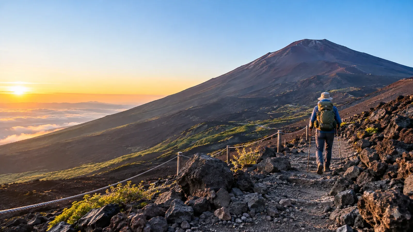
Four main trails climb Mount Fuji. Yoshida starts in Yamanashi Prefecture. Subashiri, Gotemba and Fujinomiya start in Shizuoka Prefecture. Yoshida often suits a first ascent because it has more huts and frequent signs. Your choice also depends on the terrain you can handle, how you’ll get to the trailhead and how much time you have.
Compare where each route starts, the distance, how far apart huts are and what the descent involves. Trail openings, entry rules, buses and hut operations change by season. The 2026 climbing season has ended. The official site expects the next season to run from early July to early September 2027, with exact dates to be announced.
Four things to compare
Use these four details to choose a route and decide how much time and equipment you’ll need.
1. Trailhead elevation: The Fujinomiya 5th Station is at about 2,400 m, Yoshida at 2,305 m, Subashiri at 2,000 m and Gotemba’s New 5th Station at 1,440 m. A lower start usually means more climbing. On every route, pace your ascent and watch for altitude sickness.
2. Walking distance and climbing: The official route guide lists 6.8 km up and 7.0 km down for Yoshida, 6.9 km and 6.2 km for Subashiri, 10.5 km and 8.4 km for Gotemba, and 4.3 km each way for Fujinomiya. These figures refer to the trails from the 5th stations and exclude extra walking around the crater. Gotemba is the longest and has the most elevation gain.
3. Huts and services: Yoshida has the most huts, mostly on its ascent trail. Gotemba has fewer huts and longer stretches without services. Confirm which huts are open and what they provide before you set out.
4. Ascent and descent paths: Yoshida, Subashiri and Gotemba use dedicated descent paths for parts of the route. Yoshida and Subashiri share upper sections, and their descents split near Shita-Edoya around the 8th Station. Fujinomiya uses the same path in both directions.
What each trail is like
Yoshida Trail, Yamanashi Prefecture
Yoshida starts at the Fuji-Subaru Line 5th Station. Its huts, signs and seasonal bus connections make planning a first ascent easier. Hut availability on the descent is limited. At the fork near Shita-Edoya, follow the yellow Yoshida signs and check that the route leads to the Fuji-Subaru Line 5th Station.
Yoshida is the most popular trail. Queues on upper sections, especially around weekends and sunrise, can slow you down and leave you standing in cold wind. Pack warm layers and add time for delays.
Subashiri Trail, Shizuoka Prefecture
Subashiri starts in forest and reaches open volcanic gravel above the trees. Its ascent merges with Yoshida at the Original 8th Station. On descent, follow the red Subashiri signs at the Shita-Edoya split. The Sunabashiri section crosses loose volcanic gravel. Descend at a controlled pace and consider gaiters to keep grit out of your boots.
There are fewer huts than on Yoshida and the lower section is often quieter. The shared upper trail can still be busy. Check your food, water, hut and transport plans for Subashiri itself.
Gotemba Trail, Shizuoka Prefecture
Starting at the New 5th Station, Gotemba gains about 2,300 m and has long sections of volcanic gravel, relatively few huts and a different descent route. The Ōsunabashiri is a long loose-gravel slope. Follow the green Gotemba signs. A detour via Mount Hōei changes the length and exit of the trip.
Choose Gotemba only if you have the experience and fitness for a long, sustained climb with few services. Check hut operations, visibility on the open slopes and how you’ll reach and leave the New 5th Station.
Fujinomiya Trail, Shizuoka Prefecture
Fujinomiya starts highest and is the shortest by distance. The rocky climb becomes steep above the 6th Station, and starting high can make the altitude noticeable from the outset. Take time at the trailhead, ascend steadily and stop going higher if you develop symptoms of altitude sickness.
The route uses blue signs and the same path for both directions. Give people room at narrow points. It reaches the summit rim near the upper Sengen shrine. Check seasonal buses and road restrictions on the Fuji Skyline, including access via Mizugatsuka when private cars are restricted.
How to choose for a first ascent
Yoshida is often the simplest to plan. Depending on where you start, your experience and your schedule, one of the Shizuoka trails may fit better.
- Consider Fujinomiya if access to its 5th Station is convenient and you are comfortable with a steep, rocky route and a high start. Plan time to adjust to altitude.
- Consider Subashiri for its forested start and the descent over volcanic gravel. Plan for fewer huts and the Yoshida junction near the 8th Station.
- Leave Gotemba for later if you have limited experience with long climbs, loose terrain or routes with few opportunities to resupply.
On every trail, bring warm layers, rainwear, a headlamp and suitable footwear. Plan time for altitude and reserve a hut directly if you intend to stay overnight.
What to check before you book
In 2026, the fee was ¥4,000 per person on all four trails, with entry restricted from 14:00 to 03:00 except for hut guests. Yoshida had a daily limit and optional advance passage reservation. Shizuoka required a safety lesson and entry procedures, with no daily cap. FUJI NAVI offered advance registration and a QR pass, and hikers without smartphones could complete the procedure at the trailhead. Check the new season’s rules before paying or making travel plans.
- Yamanashi, Yoshida Trail: Check the prefecture’s notices for the gate, daily limit, payment and how to book passage.
- Shizuoka, Subashiri, Gotemba and Fujinomiya: Check the prefecture’s notice and official FUJI NAVI instructions for the season you intend to climb.
- Weather: Check the Japan Meteorological Agency and the official Mount Fuji trail and volcano notices.
- Transport: Check the seasonal timetable, road restrictions and the last service from your descent trailhead.
All trails to the summit are closed outside the climbing season. Opening and closing dates can differ by trail and by section. Check both the ascent and descent before you travel.
Before you go
Start with transport to and from the 5th Station, then choose the route and book any hut stay. Download the official trail map and know which signs to follow on descent. Nordwand’s Base Camp is a place to ask other hikers about their experience on a route.
Sources
- Official Mount Fuji climbing website: four trails and access
- Yamanashi Prefecture: Yoshida Trail rules
- Shizuoka Prefecture: climbing regulations
- Japan Meteorological Agency: forecasts and warnings
References and sources
- Official Mount Fuji climbing website — Trail comparison and access
- Official Mount Fuji climbing website — Signs and junctions
- Yamanashi Prefecture — Yoshida Trail rules
- Shizuoka Prefecture — Climbing regulations
- Official Mount Fuji climbing website — Season and facility dates
- Japan Meteorological Agency — Forecasts and warnings
- Official Mount Fuji climbing website — Current season outlook