
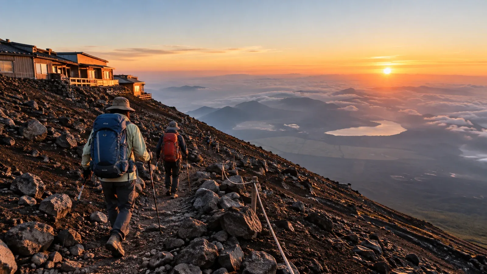
The Yoshida Trail is the most popular of Mount Fuji’s four main routes. It starts in Yamanashi Prefecture at the Fuji-Subaru Line 5th Station and has the most huts, primarily on the ascent. Huts can give you places to stop during their operating hours. Check the one you plan to use.
The climb is still long, steep in places and high enough for altitude illness. Plan your transport, hut reservation, pace and return route together. The 2026 season has ended. The official site expects the 2027 season to run from early July to early September, with exact dates to be announced.
Getting to the Fuji-Subaru Line 5th Station
The trailhead is at 2,305 m. During private-car restrictions, the usual option for drivers is to park at Fujisan Parking and transfer to a paid shuttle or taxi. In 2026 the restrictions ran from 18:00 on July 3 to 18:00 on September 10. Check the road operator’s announcement for the season you’re traveling.
Seasonal buses can run directly from Shinjuku or connect via Kawaguchiko and other stations. Check the operator’s route, schedule and fare. Confirm the last return bus or make another plan to get off the mountain.
The official site suggests resting for about one to two hours near the 5th Station before leaving. Allow time to eat, drink and check your gear. A stop can help you adjust to the initial altitude. Continue at an easy pace and stop ascending if symptoms appear.
From the 5th to the 8th Station
The trail climbs gently through forest toward the 6th Station. Start at a pace you can maintain and check that the group is comfortable.
Above the 6th Station the route climbs on volcanic gravel switchbacks. Rocky and steeper sections become more frequent near and above the 7th Station. Stow poles if you need your hands and give other hikers space.
Many huts are clustered between the 7th and 8th stations. Headache with nausea, dizziness or unusual fatigue after gaining elevation can indicate altitude sickness. Stop going higher. If symptoms worsen at the same elevation, descend if safe. Seek immediate help for confusion, poor coordination or breathlessness at rest.
Choosing and using a mountain hut
Most huts on the Yoshida Trail are on the uphill route. Compare their elevation, opening dates and how long it will take to reach them at your group’s pace.
Overnight or in one day?
- Avoid an overnight push to the summit without sleeping at a hut. The official guidance calls this a “bullet climb.” It differs from a planned daylight day hike, which still calls for suitable fitness, equipment, entry times and daylight.
- For a first climb, consider a hut that you can reach comfortably. The official sample itinerary uses a hut around 3,000 m, but choose a location that fits your group.
- Reserve the hut directly and check its arrival deadline, meals, payment and cancellation rules. A Yoshida passage reservation is separate from a hut booking.
What huts may provide
Many huts offer meals, drinks or toilets, but opening and service vary. Carry the water and food you need from the trailhead. Bring cash for toilets or supplies where the operator asks for it.
A small oxygen canister offers limited oxygen and should never be used to justify continuing upward with symptoms. Stop ascending, tell your companions and seek help or descend as the situation requires.
From the Original 8th Station to the summit rim
Subashiri joins Yoshida at the Original 8th Station. Above the junction the trail becomes steeper and narrower in places. Keep a steady pace, check your footing and allow for crowds and cold wind.
The trail reaches the crater rim near Kusushi Shrine. Kengamine, at 3,776 m, is the highest point and requires extra walking on the rim. The crater loop is a separate outing with separate opening dates. Skip it if the path is closed, the weather is deteriorating or the group needs to descend.
The Yoshida descent and the Subashiri fork
Use the signed descent trail from the summit area. It shares an upper section with the Subashiri descent. Follow the posted signs and avoid walking down the uphill route where the paths are separate.
Loose gravel and rocky sections can make the descent tiring. Use short, controlled steps. At the fork near Shita-Edoya around the 8th Station, follow the yellow signs toward the Fuji-Subaru Line 5th Station. The red signs lead down to the Subashiri 5th Station. Wait for the whole group to regroup before choosing the branch.
Gaiters can keep gravel out of your boots. The official estimates are 6 hours 10 minutes up over 6.8 km and 3 hours 35 minutes down over 7.0 km, excluding breaks. Allow for your pace, traffic and time at the rim. Check the last bus and leave yourself daylight for the descent.
Before you go
Check the latest Yoshida gate, fee and private-car rules and reserve your hut directly if staying overnight. For reference, in 2026 the entry fee was ¥4,000, there was a daily limit of 4,000 with a hut-guest exception, and entry between 14:00 and 03:00 was restricted except for hut guests. Confirm the new season’s rules and trail conditions before booking. Nordwand can help you find a guide or ask fellow hikers about the route in Base Camp.
Sources
- Official Mount Fuji climbing website: Yoshida Trail and current rules
- Official Mount Fuji climbing website: hut directory and maps
- CDC Yellow Book: altitude illness
References and sources
- Official Mount Fuji climbing website — Trail comparison and access
- Official Mount Fuji climbing website — Current season outlook
- Yamanashi Prefecture — Yoshida Trail rules
- Official Mount Fuji climbing website — 2026 Fuji-Subaru Line private vehicle restrictions
- Official Mount Fuji climbing website — Yoshida huts
- Official Mount Fuji climbing website — Descent junction
- Official Mount Fuji climbing website — Health and safety
- CDC Yellow Book — Altitude illness