
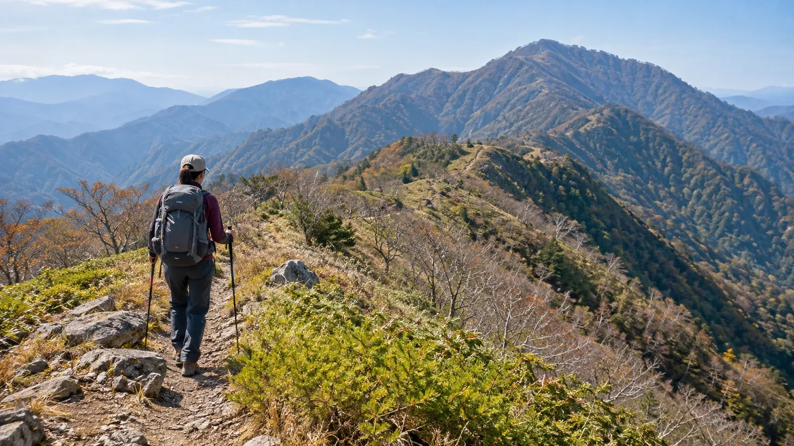
Tanzawa is close to Tokyo, but crossing the main ridge over its highest peak, Hirugatake (1,673 m), takes stamina for a long day and careful planning. Start by deciding whether to walk it in a day or split the trip with a night in a hut.
The main ridge traverse climbs from Okura up the Okura Ridge to Tonodake, then crosses Tanzawasan, Hirugatake, Himetsugi, the area around Kibigarayama and Yakeyama before descending to the Yakeyama trailhead. It also works in reverse. The Tanzawa Visitor Centre's northbound example from Okura is about 23 km and takes around 12 hours 15 minutes of walking, excluding breaks. Your choice of branches and direction affects the time.
Day hike or overnight?
For a day hike, check whether the schedule works once you include breaks, weather, sunset and onward transport as well as walking time.
Consider three things. First, your pace on outings with comparable distances and climbs and descents. Second, when you can actually start walking, including transport. Buses at Yakeyama trailhead are limited. Third, daylight on the chosen date. Days shorten from autumn into winter, so check sunset for your date and allow for delays.
To split the trip, stay at Hirugatake Sanso or at Miyama Sanso on Tanzawasan. Both require advance reservations. Check the hut's opening and how to book. Splitting the stages gives you more time and lets you experience the ridge in the evening or early morning.
Direction and access
Walk north to south from Yakeyama to Okura or south to north from Okura to Yakeyama.
North to south. Climb from the Yakeyama trailhead in Sagamihara, cross Hirugatake and descend to Okura in Hadano. The 2026 timetable has just one weekday round trip at Yakeyama, too late for an early start. Check the timetable for your date and look into alternatives such as Sagamihara's bookable shared service or a taxi.
South to north. Take the bus from Shibusawa Station to Okura and climb the Okura Ridge. There are more climbs after Tonodake and Tanzawasan, and the descent from Hirugatake to Yakeyama trailhead is long too. Arrange the bus or a booked ride from the northern end before you go.
In either direction, check the last service and connections from your finish for the day you plan to travel. If you're using a booked ride, find out what happens if you're late.
The terrain and sections that need care
Even on maintained trails, the footing changes between steep climbs and descents, boardwalks and rock.
Yakeyama to Himetsugi is largely forested, with a climb at Yakeyama and further ups and downs. Check the map and signs at junctions and where work tracks cross the trail.
Himetsugi to Hirugatake involves a descent from Himetsugi followed by a long climb to Hirugatake. Open stretches and the ridge are exposed to wind. Frost makes boards and rocks slippery, so check your footing.
Hirugatake to Tanzawasan and Tonodake involves repeated climbs and descents, with rock and chains near Onigaiwa. Wet boards and steps can be slippery. Check your footing on descents and slow down as you tire.
Tonodake to Okura via the Okura Ridge is a long, steep ridge trail nicknamed Baka-one. The long descent comes near the end, when fatigue tends to catch up with you. Set a pace that leaves you enough energy for it.
Weather risks and seasonal decisions
From summer to early autumn, plan around thunderstorms by setting out early and limiting time on the ridge. Lightning can occur early too. If you hear thunder or see lightning, leave summits and ridges and quickly seek safe shelter, such as inside a building.
In autumn, wind and sweat can chill you. Keep a waterproof jacket and trousers, warm clothing and gloves easy to reach, so you can layer up promptly when you stop.
Snow and ice occur in winter around Hirugatake and elsewhere. Check Kanagawa Prefecture's trail notices and local reports from the visitor centre or huts. Match your equipment to the surface and slope. Change the plan or postpone if you lack the skills to travel on snow or ice.
Check the Japan Meteorological Agency's forecasts, warnings and advisories and local trail reports the day before and on the morning of the hike.
Putting the hiking plan together
- Set the schedule. Decide on a day hike or an overnight trip. If staying overnight, book the hut before finalising the stages.
- Estimate walking time. Add the standard walking times for your sections and adjust them using your past pace on comparable terrain.
- Build in extra time. Allow for breaks, fatigue, weather and navigation. Check whether you can finish in daylight and catch your transport.
- Check ways off the ridge. Identify where you can turn back or descend at each junction. The ridge towards western Tanzawa is a long route of its own. The Hayatogawa Forest Road has landslide-related restrictions. Before considering a descent towards Hayatogawa, verify the trail, roads and onward transport.
- File a hiking plan. Use the Kanagawa Prefectural Police online form, a trailhead drop box or Compass, and share the route with your group and family.
What to do next
Use a topographic map and the police route maps to check junctions and elevation changes. Estimate your walking time from past trips. If staying overnight, book the hut, then check transport for your date at Yakeyama and Okura. You can also ask hikers who have walked the Tanzawa main ridge in Nordwand's Base Camp.
References
- Tanzawa Visitor Centre and Kanagawa Prefecture (traverse routes and trail status)
- Kanagawa Chuo Kotsu and Sagamihara City (buses and bookable shared transport)
- Kanagawa Prefectural Police and Geospatial Information Authority of Japan (route maps, hiking plans and topographic maps)
- Japan Meteorological Agency (weather information and lightning safety)
References and sources
- Tanzawa Visitor Centre | Distance and walking time for the main ridge traverse
- Kanagawa Prefectural Police | Tanzawa hiking route maps
- Kanagawa Prefecture | Trail status in Tanzawa and Oyama
- Kanagawa Prefecture | Hayatogawa and other forest road restrictions
- Kanagawa Chuo Kotsu | Buses at Yakeyama trailhead
- Kanagawa Chuo Kotsu | Buses at Okura
- Sagamihara City | Trial of bookable shared transport
- Hirugatake Sanso | Opening and reservations
- Miyama Sanso | Opening and reservations
- Kanagawa Prefectural Police | Filing a hiking plan
- Japan Meteorological Agency | Weather and hazard information
- Japan Meteorological Agency | How to stay safe in a thunderstorm
- Geospatial Information Authority of Japan | GSI Maps