
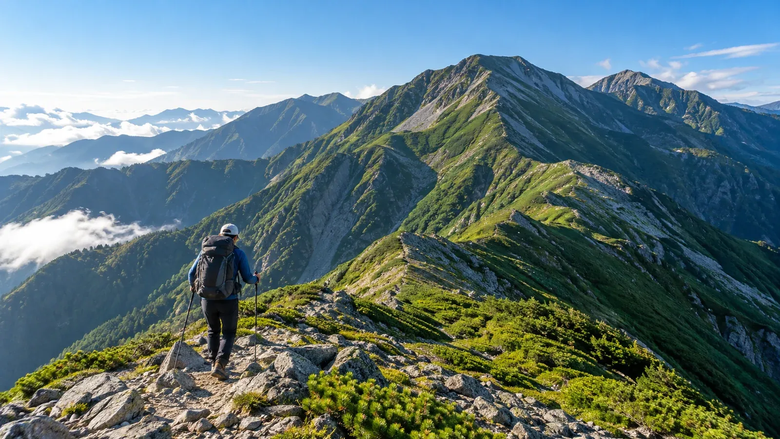
At the southern end of Japan's Southern Alps, trailheads take longer to reach than in the north around Senjogatake and Kaikomagatake, and there are fewer ways off the ridge. The traverse between Hijiridake (3,013 m) and Akaishidake (3,121 m) takes several days on ridges around 3,000 m. It's suited to hikers with long-distance mountain experience who can plan for disruptions to transport or weather.
This guide tackles three questions. How much time and stamina do you need? Where do you start and finish? How do you plan around the huts and the weather?
Understanding the terrain
Hijiridake and Akaishidake are 3,000 m peaks in the southern part of the range. On the Shizuoka side, access is via the area around Hatanagi No. 1 Dam, with the Sawarajima and Hijirisawa trailheads farther in. The Higashimata Forest Road is closed to ordinary motor vehicles. Tokushu Tokai Forest runs a shuttle from Hatanagi to Sawarajima for people staying at least one night at an eligible property. Camping-only itineraries do not qualify, and Hijiridaira Hut is outside the programme. Check the latest information from transport operators and Shizuoka City for pickup or drop-off at Hijirisawa, operating dates, reservations and forest road restrictions.
Usagidake, Nakamorimaruyama and Hyakkenbora lie between Hijiridake and Akaishidake. Expect major descents followed by climbs. Hijiridaira lies south of Hijiridake, and Kamikochidake is farther south still. Check the cumulative ascent and descent on each segment alongside the summit elevations. Once you leave the trees, you're exposed to wind, rain and lightning, so use the forecast to plan an early finish.
Planning time and gauging fitness
Shizuoka Prefecture grades the Sawarajima → Akaishidake → Hijiridake → Hijirisawa → Sawarajima loop at 22.9 hours of standard walking time, about 28.2 km, physical demand 9 and technical grade D in fair weather without snow. Arrange transport to Hatanagi and the return from Sawarajima separately. Check on the segment maps whether you can split the route at open huts or campsites before choosing between four days and three nights, five days and four nights, or a different schedule. Plan for the possibility of losing a day to bad weather.
Use these questions to assess your fitness and experience before the trip.
- Have you camped or stayed in a mountain hut on several separate trips?
- Have you walked for eight hours or more with a pack weighing around 10 kg?
- Can you decide when to change course or wait out poor conditions?
- Can you locate yourself on a topographic map with a compass?
If you're short of experience in any of these areas, practise on a two-day traverse in the Northern Alps or the northern part of the Southern Alps first.
How to fit the huts into your itinerary
Possible overnight stops on or near the route include Hijiridaira Hut, Hyakkenbora Yama no Ie, the Akaishidake shelter, Akaishi Hut and Arakawa Hut. Opening dates, reservations, campsites, meals and water vary by property and may change during works. Check with the Ikawa Tourism Association for Hijiridaira and Tokushu Tokai Forest for Hyakkenbora and its other properties. Verify the exact dates you plan to stay.
Keep each stage within the time you can walk with a pack and aim to reach an open hut or usable campsite before dark. Mobile reception is patchy, so changing plans after the weather deteriorates may be difficult. Decide where to stop and what route to use for a descent on each stage, and check roads and onward transport at that exit.
Water sources along the ridge are scarce, and flow varies by season and weather. Check the hut notices for water sources and conditions, and carry enough to reach the next reliable refill.
Choosing where to start and finish
Compare an out-and-back to a single summit with a traverse linking the two.
Out-and-back from the same trailhead. For a single mountain, you can plan an out-and-back from the Hijirisawa trailhead to Hijiridake or from Sawarajima up the Okura Ridge to Akaishidake. Both are long trips. If you want to hike one first, check the state of the roads and trails, the overnight options and transport to the trailhead before planning.
Traverse as a loop or to a different trailhead. One loop starts at Sawarajima, crosses Akaishidake and Hijiridake, descends to Hijirisawa and follows the forest road back to Sawarajima. Other traverses finish at a different trailhead. Don't count on boarding the return shuttle at Hijirisawa. Check the walking section and the departure from Sawarajima. If you're considering the Tayorigashima side in Nagano, Iida City lists Katsurasawa Bridge as closed even to pedestrians. Check the latest notice and keep closed sections out of your descent plan.
File a hiking plan for either itinerary and share it with your group and family. Shizuoka Prefectural Police lists the prefecture's online form and the Compass service as filing options. Include your start and finish, route and emergency contacts.
Reading the weather and deciding when to turn back
Weather can change even in summer and deteriorate rapidly when a typhoon approaches. Check Japan Meteorological Agency forecasts, warnings and advisories and local reports the day before and just before setting out. Mobile reception may be unavailable on the ridge. Have your forecast, maps and criteria for turning back accessible before you leave.
Reconsider continuing that day in any of these situations.
- Thunderclouds are forming over or approaching the ridge at your planned departure.
- Strong winds and rain have persisted since the previous day, with no improvement expected the next day or beyond.
- You're well behind schedule and expect to reach the hut after dark.
- You or someone in your group is clearly feeling worse.
On a long traverse, fatigue builds in the latter stages. You may reach a difficult section when your judgement is already affected. Agree on turnaround times and conditions while planning and share them with your group. If you hear thunder or see lightning, leave summits and ridges and quickly seek safe shelter, such as inside a building.
What to do next
Find the ridges and huts on Shizuoka Prefecture's segment maps and on a topographic map. Check whether you can divide the route to fit your time and stamina. Ask Shizuoka City about road and forest road restrictions, operators about transport in both directions and hut managers about accommodation and water. File your hiking plan once the route and group are set. You can also ask people who've hiked here in Nordwand's Base Camp or its topic-based communities.
References
- Geospatial Information Authority of Japan and Shizuoka Prefecture (elevations, segment maps and route grades)
- Shizuoka and Iida cities (road and forest road restrictions)
- Tokushu Tokai Forest and Ikawa Tourism Association (transport, huts and water)
- Shizuoka Prefectural Police (hiking plans)
- Japan Meteorological Agency (weather information and lightning safety)
References and sources
- Geospatial Information Authority of Japan | Elevations of Japan's major mountains
- Shizuoka Prefecture | Hiking route grades and segment maps
- Shizuoka Prefecture | Route grading data for fair weather and snow-free conditions
- Shizuoka City | Higashimata Forest Road restrictions
- Shizuoka City | How to check road restrictions
- Tokushu Tokai Forest | Shuttle bus eligibility and conditions
- Tokushu Tokai Forest | Hut opening and water supply information
- Ikawa Tourism Association | Opening and reservations for Hijiridaira and other huts
- Iida City | Katsurasawa Bridge closure
- Shizuoka Prefectural Police | Filing a hiking plan
- Japan Meteorological Agency | Weather and hazard information
- Japan Meteorological Agency | How to stay safe in a thunderstorm