
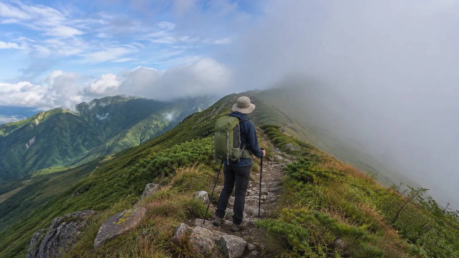
You might see a valley to the right of the ridge while the left side is all white. In the mountains, the view can vary by direction even when you stay in one place. Check the way ahead and your footing from a safe spot before continuing.
Visibility can vary by direction
The Japan Meteorological Agency defines visibility as the horizontal distance you can see. If it varies by direction, the shortest distance is generally used. Fog consists of tiny droplets that reduce visibility below 1 km. On a trail, an accurate distance is hard to determine without measuring it. Record the direction and what you can see.
The Obihiro Weather Station describes what Japanese hikers call gasu as being inside a cloud covering a mountain. Air rising over a slope can help clouds form and develop. EUMeTrain also describes fog forming when air cools by radiation or when different air masses mix. A cloud on one side doesn’t establish its cause. Which side is clearer can vary, including on the windward side.
Seeing a valley or distant peak doesn’t tell you whether you can see the trail at your feet, the previous junction or the route ahead. Enjoy the view where it is clear and check the direction of travel separately.
Look in several directions from a safe place
Avoid cliff edges, steep slopes, spots exposed to rockfall and places where you would block other hikers. At a safe stop, look ahead, behind and to either side. Stay back from the edge when checking the valley.
Describe what you see in concrete terms, such as “I can read the near sign” or “I can’t see the next junction.” Give your companions the direction and landmark, and label any unmeasured distance as an estimate.
Moving fog can hide terrain that was visible minutes earlier. Consider whether you have a safe place and enough time to wait for a better view. Allow for the weather and avoid pushing on during a brief clearing alone. Note when you saw the change if conditions are shifting quickly.
Check your direction against the map
Japan’s National Police Agency recommends learning to use a map and compass and checking your location regularly. Study the route before leaving and track junctions and terrain along the way. If you wait until you reach the ridge, you may have fewer clues in poor visibility. Stop safely and compare the map, compass, signs and location data.
Use your position and direction on the map to confirm that the valley in view is the one you expected. If you use a phone, prepare maps and power before leaving and plan for losing reception. If the display and terrain seem to disagree, stop and check before moving.
If you can’t confirm a junction or your location, stop safely and compare what you know with the last confirmed point. Avoid choosing the clearer-looking side by guesswork. Before turning back, confirm the route and footing. Avoid continuing down a slope you can’t identify. Consider whether you can wait safely and have enough time, and whether to call for help.
Share differences in what each person can see
Even in the same direction, people can pick out different features. Give the direction and name or describe the landmark. Check that everyone understands which one you mean. Take it into account if someone can’t see it.
If the group stretches out, the front and back may have different visibility. Agree in advance on spacing and calls, and count everyone at a safe place near junctions or in thick fog. Tell the group before stopping for photos and stay with them.
When reviewing photos and notes at home, add the time and camera direction to compare visibility. A photo shows one direction at one moment. Before the next hike, check current forecasts and local conditions.
Summary: check more than the clear side
Visibility can vary by direction on a ridge. Check where you are walking and what you can see underfoot from a safe place. Share your position on the map and your next landmark with the group. Reassess the plan as conditions change, even when one side looks clear.