
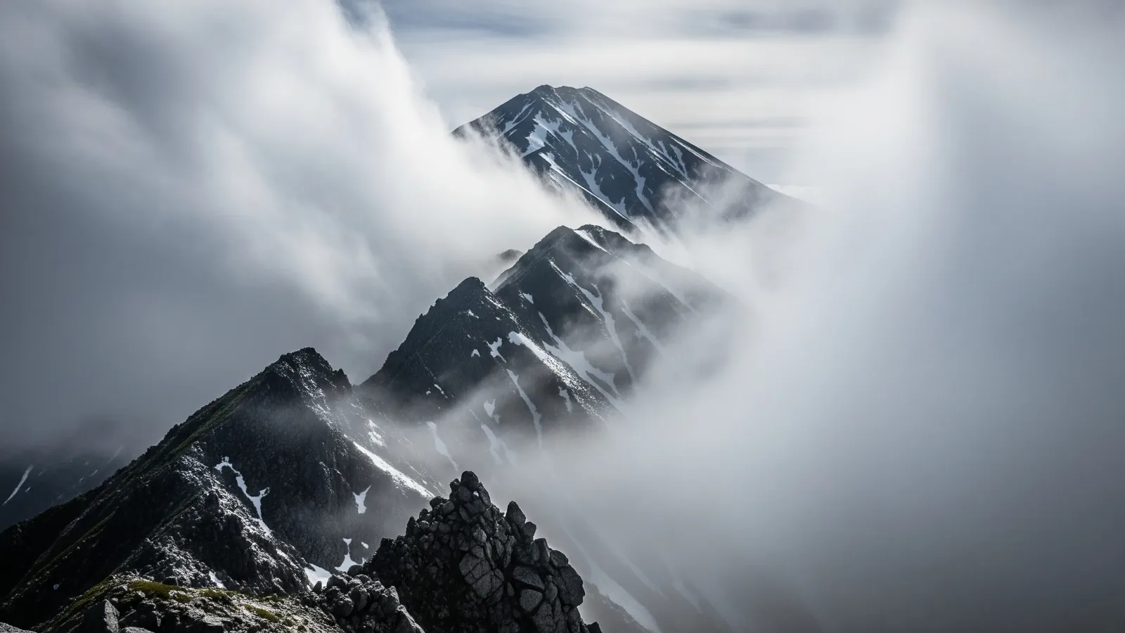
Before a hike in Japan, the Japan Meteorological Agency (JMA) offers free information about regional weather, rain and lightning, and hazards. This guide explains what each tool shows and how to use it alongside a forecast for your mountain.
What a regional forecast tells you about a mountain
JMA forecasts describe a stated area and time. Temperatures in the regional forecast apply to representative locations. Check the location and elevation of the terrain you plan to cross.
A valley and a summit can have different temperature, wind and visibility at the same time. Temperature often falls with elevation, but the rate varies. Wind and wet clothing can increase heat loss. Check elevation-specific forecasts where available.
Consider the conditions on the exposed parts of the route, including the descent. Check gusts, precipitation type, cloud and visibility, as well as temperature.
Read the regional forecast to understand the wider weather. A sunshine icon does not describe every slope or ridge. Compare it with a mountain-specific forecast and the latest JMA information below.
Three free JMA tools for hiking
Use a rain and lightning nowcast for the near term, warnings and advisories for regional hazards, and weather maps for the broader pattern. Check the valid time and location each time you open a tool.
1. Rain and lightning nowcasts
The high-resolution precipitation nowcast uses radar and other observations. It shows precipitation estimates updated every five minutes, with forecasts at 250 m resolution over land and coastal waters through 30 minutes, then at 1 km from 35 to 60 minutes. The separate lightning nowcast uses a 1 km grid, updates every ten minutes and looks up to an hour ahead.
Check the latest display before entering exposed ground and when you still have coverage. Storms can develop rapidly where no activity is shown. If you hear thunder, leave exposed summits and ridges promptly and seek a substantial enclosed building or hard-topped vehicle if safely reachable.
2. Warnings, advisories and early weather information
Check warnings and advisories for the municipalities along your route, including the descent and access road. Since May 29, 2026, JMA has aligned information on river flooding, heavy rain, landslides and storm surge with Japan’s five warning levels. Read the specific hazard, area, time and guidance, including separately issued wind and thunder advisories.
JMA early weather information describes elevated chances of unusually high or low five-day average temperatures, or heavy snowfall for relevant Sea of Japan regions in winter, within the six- to fourteen-day outlook. Use it to prepare alternatives ahead of time. Recheck the detailed forecast and warnings close to departure.
3. Weather maps
Use JMA’s current and forecast maps to see the larger weather pattern. A chart helps explain why the forecast may change and where the uncertainty lies.
- Closely spaced isobars: A stronger pressure gradient can support stronger winds. Check the local wind forecast for the actual route.
- An approaching front: Rain, wind or changes in temperature may accompany it. Check the forecast timing and allow for uncertainty.
- A high-pressure system: Often brings more settled conditions, but local fog, wind or afternoon showers can still occur.
Compare the chart and its valid time with the forecast and warnings. Use the local forecast for the terrain rather than estimating ridge wind or rain from the chart alone.
Combine the official tools with a forecast for the route
Start with JMA’s forecast and warnings for the wider area. Add a mountain forecast that provides the elevations and times you expect to be on the trail.
If a mountain service gives a single hiking index, check what it measures. Read the actual forecasts for wind and gusts, temperature, precipitation, cloud and visibility before deciding.
Compare sources with similar valid times and locations. If they disagree about a condition that would affect your descent, give yourself extra margin and choose a route you can shorten.
At the trailhead and on the route, compare the conditions with the plan. If visibility, wind or cold prevents safe movement or navigation, use a known safer route or turn back while you can.
Before setting out
Check the rain and lightning nowcasts for near-term changes, warnings and advisories for hazards, and the weather map for the larger pattern. Save or note the relevant times, conditions and options for retreat before leaving coverage.
Share the plan with your group, check conditions again on the morning of departure and change or postpone the outing if the route and descent are uncertain.
References and sources
- Japan Meteorological Agency · Regional weather forecasts
- Japan Meteorological Agency · Rain and lightning nowcast
- Japan Meteorological Agency · High-resolution precipitation nowcast specifications
- Japan Meteorological Agency · Lightning nowcast specifications
- Japan Meteorological Agency · Warnings and advisories
- Japan Meteorological Agency · Weather hazard information system introduced in 2026
- Japan Meteorological Agency · Two-week outlook and early weather information
- Japan Meteorological Agency · Current and forecast weather maps
- Japan Meteorological Agency · Lightning safety