
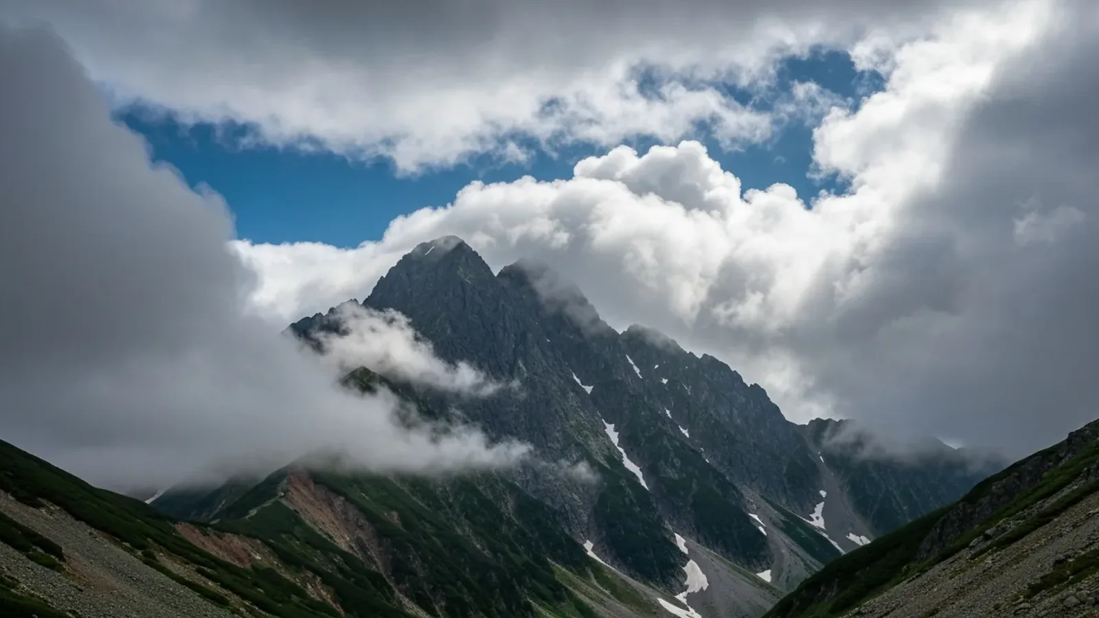
A trail that starts in sunshine can lead into cloud, strong wind or rain. On a mountain, the weather at the trailhead can differ markedly from conditions on the ridge. Understanding what changes with terrain helps you choose equipment and decide when to turn back.
Why weather can change quickly in the mountains
Weather systems set the broader conditions, while mountains reshape the flow of air. Wind, moisture, atmospheric stability and local heating all affect what happens along the route.
When moist air flows up a windward slope, it expands and cools. If it cools enough for water vapour to condense, clouds can form and sometimes produce precipitation. Meteorologists call the lifting caused by terrain orographic lift.
A ridge, valley and the opposite side of the same mountain can have different wind, cloud and visibility at the same time. Cloud can also form, move or break up as the wind and humidity change.
Sunshine can warm slopes and help air rise. When enough moisture and atmospheric instability are present, growing clouds can develop into thunderstorms. A clear start offers little guidance about thunderstorm risk later in the day. Check the forecast and plan to leave exposed sections early if storms are possible.
How temperature and exposure change with elevation
Air temperature often falls with elevation, but the rate varies with humidity and weather. During a temperature inversion, higher places can even be warmer than a valley. Use a forecast for the elevation and terrain you will visit.
Cold wind increases heat loss and wet clothing can make you colder. Use a forecast’s temperature, wind and feels-like guidance together. Wind chill depends on both air temperature and wind speed, so a fixed temperature deduction per unit of wind is unreliable.
What can differ from the trailhead to the ridge
- Air temperature: Check the forecast for the heights you will reach and pack for colder conditions.
- Wind: Exposed ridges and gaps can be windier than sheltered slopes. Check gusts as well as the average wind.
- Cloud and visibility: Cloud can hide junctions and terrain. Check the forecast cloud base and plan navigation in low visibility.
- Ultraviolet radiation: UV exposure generally increases with elevation. Thin cloud can let UV through, and snow can reflect it.
These differences depend on the mountain, forecast and conditions on the day. Recheck the forecast before setting out and compare it with what you see along the route.
Carry layers that protect against rain, wind and cold, and adjust them before you cool down. Leave room in the plan to stop, shorten the route or turn back before the exposed ground.
Three changes to watch for
Watch how quickly conditions are changing and what is ahead. If the group is approaching exposed terrain, decide early whether to continue or head for a known safer place.
1. Stronger wind or sudden gusts
Stronger gusts can make walking and keeping balance difficult, especially near a ridge edge. A sudden cool gust can also accompany an approaching thunderstorm. Wind direction alone cannot tell you whether a front or storm is arriving.
2. Rapidly growing cloud, thunder or falling visibility
Growing tower-shaped clouds, darkening skies or thunder are reasons to act early. If you hear thunder, move promptly away from summits and ridges toward a substantial enclosed building or a hard-topped vehicle if one is reachable safely. In fog or low cloud, stop in a stable place and verify the route and return options.
3. Sudden cooling or wet clothing
A sudden cool wind can be a warning of an approaching thunderstorm. Wet clothing and persistent wind can also increase heat loss. Put on protection from a secure place and reassess whether the group can complete the descent in the conditions.
Use current alerts and observations together. Act promptly if you hear thunder or if visibility, wind or cold prevents the group from moving or navigating safely.
Before setting out
Check weather warnings and the forecast for the mountain, including wind, cloud, visibility and temperature by elevation. Review the latest rain and lightning nowcast before leaving coverage and identify places to turn back or reach safe shelter.
Share the plan with your group and leave enough time to descend before conditions worsen. Check changes as you walk and shorten or postpone the outing if the route or its retreat is uncertain.
References and sources
- NOAA · Windward and leeward weather
- Met Office · How to read a mountain forecast
- US National Weather Service · Wind chill calculator
- World Health Organization · Ultraviolet radiation
- Japan Meteorological Agency · Signs of approaching thunderstorm clouds
- Japan Meteorological Agency · Lightning safety
- Japan Meteorological Agency · Warnings and advisories
- Japan Meteorological Agency · Rain and lightning nowcast