
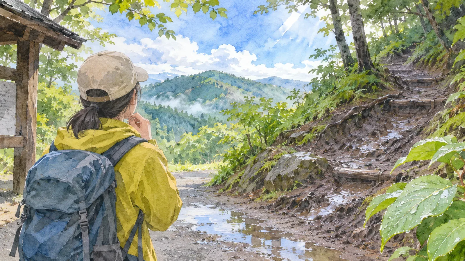
If you're unsure about your planned hike the day after rain, check the trail as well as the forecast. A clear day can follow rain while the path is still slippery or closed. If you switch routes, dropping a grade by itself may do little for safety. Prepare a backup route whose condition you can verify, and be ready to skip the hike. That gives you options besides a hurried change on the morning of the trip.
Check the forecast and post-rain trail conditions separately
The Kantō Regional Forest Office warns that trails can be slippery after rain and that rockfall can occur both during and after it. The Japan Meteorological Agency also explains that ground can stay unstable after heavy rain lets up or stops, and landslides may still occur. A trail can take longer to recover than the weather.
Check what conditions a route grade assumes. The prefectural charts rate trails in fair weather without snow. Gunma says difficulty increases in other conditions. Gifu advises allowing for bad weather, lingering snow and how you feel, and checking conditions before leaving. Yamanashi's ratings date to 2016, so it asks hikers to check for updates with huts, municipalities or police stations.
Each route responds differently to rain. The Ministry of Agriculture, Forestry and Fisheries advises checking ahead because a typhoon can leave trails blocked by landslides even if the day of your hike is clear. Cross off routes with closures or warnings from managers. Confirm current conditions before setting out on any route, even one with a low grade.
Compare the physical demands of your options on paper
Start by comparing the physical demand. The Yamanashi and Gunma materials calculate the route coefficient by adding published route time (hours) × 1.8, total route distance (km) × 0.3, cumulative ascent (km) × 10.0 and cumulative descent (km) × 0.6. Gifu divides the coefficient by 10 and rounds up to the next whole number to get its physical grade.
Try it with two hypothetical routes. For a five-hour route of 8 km with 0.9 km of ascent and 0.9 km of descent, the coefficient is 9.0 + 2.4 + 9.0 + 0.54 = 20.94, or grade 3. For a 2.5-hour route of 3 km with 0.3 km of ascent and 0.3 km of descent, it's 4.5 + 0.9 + 3.0 + 0.18 = 8.58, or grade 1. The 10.0 multiplier for ascent accounts for much of the difference. An extra 0.6 km of climbing changes the coefficient by 6.0 even if everything else stays the same.
The formula combines time, distance, total ascent and total descent. Wet ground, closures and washouts need separate checks. The shorter example has a lower physical grade and becomes an option once you've confirmed current conditions. Keep the grade separate from your safety margin after rain, even if you're considering splitting the hike over more than one day.
Check the terrain even if the physical grade is lower
Technical difficulty reflects the trail and the skills it requires. In Yamanashi's guide, A generally means maintained terrain with little risk of losing the trail. C can include ladders, fixed chains and poorly marked sections. Yamanashi and Gifu tell beginners to start in the lower left of their charts and gain experience gradually toward the upper right.
Avoid a last-minute switch to a route that lowers physical demand but raises technical difficulty. Even a short route with ladders or chains can require different skills. Gunma and Gifu ask hikers to take an experienced companion when attempting a grade for the first time. On a familiar route, check the latest information before assuming it will feel as it did when dry.
Check with the trail manager, local authority or visitor center. Give the date and exact route, and ask about closures, bridges, stream crossings and washouts. Gifu notes that a mountain can have several routes from one trailhead, so give more detail than the mountain name. If you can't establish conditions and still feel uncertain, skip the mountain that day.
Write down the conditions for switching, where to check and when to turn back
Write the following down the night before to make the morning decision easier. These steps are the editorial team's suggestions based on the linked guidance.
First, list the original hike, a shorter alternative whose conditions you can verify, and a plan without a hike. Second, decide which sources to check and when to look for local trail and weather updates. Check again in the morning for closures or warnings that weren't posted the night before. Rain can affect both routes, even if your alternative is on a nearby low mountain.
Third, check the way back and any escape routes for the alternative. The National Police Agency advises identifying escape routes in advance and allowing enough time for breaks. Avoid taking a shortcut whose condition after the rain is unknown. Fourth, tell your companions and someone at home about the change. Amend or refile any hiking plan using the instructions for the service where you submitted it.
Fifth, agree on what will make you call off the hike in the field. Stop at an unexpected closure, dangerously high water, a washout or footing you don't feel safe crossing. Apply the same criteria even if you're with other people. If you're unsure of the route or your position, stop somewhere safe and check. Make sure the way back is safe before taking it. Call for help early if you can't move safely on your own.
Check current conditions before dropping a route grade
The day after rain, check the forecast and trail conditions separately. Grading helps you compare the physical and technical demands, while recent reports tell you whether trails are open and slippery. Check both the original route and the alternative with managers or local authorities. Skip the hike if conditions are unknown or unsafe. Share any change with companions and your contact at home, and update the hiking plan you filed.
References and sources
- Yamanashi Prefecture, Yamanashi Mountain Route Grading
- Gunma Prefecture, Mountain Route Grading, revised April 2025
- Gifu Prefecture, Mountain Route Grading
- National Police Agency, Overview of Mountain Incidents in 2024
- Kantō Regional Forest Office, Precautions for Hiking
- Japan Meteorological Agency, precautions concerning heavy-rain hazards, November 9, 2024
- Ministry of Agriculture, Forestry and Fisheries, Safety Precautions for Hiking
- Japan Meteorological Agency, current landslide risk map