
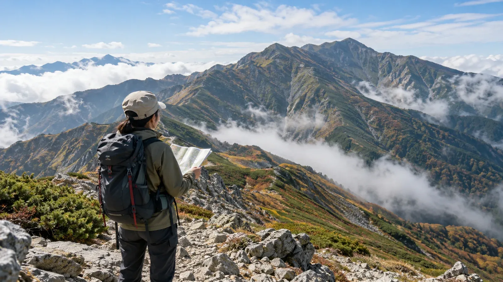
Which mountains have the most reported incidents? Japan’s National Police Agency gives figures for selected mountains. In 2025, it recorded 106 people involved on Mount Takao, 78 in the Hotaka range and 49 on Mount Fuji.
Those figures count people in the selected areas. They do not tell you the risk per visit or provide a national ranking of trails. Compare your own route’s demands, terrain, weather and ways out.
Here are four things to look at before leaving and ways to respond if the conditions change.
Four factors to check on a mountain route
1. Popularity and the range of visitors
A well-known mountain with public transport or tourist facilities can attract people with a wide range of experience. Visitor numbers affect how you interpret the number of people involved in incidents.
Check the specific route rather than relying on the mountain’s reputation. Different trails on the same mountain can require different skills and equipment.
2. Distance and elevation gain
A low summit or a short map time can hide steep descents, confusing forest paths or repeated climbs. Add up the cumulative ascent and descent and check what the terrain is like.
Allow time for breaks, weather and a slower-than-expected descent. Use your own recent pace on comparable ground and set a latest turnaround time. Shorten the route or start earlier if you need more margin.
3. Exposure to changing weather
A windy ridge, large change in elevation or a route exposed to incoming weather can feel very different from the trailhead. Fog, rain and cold can affect footing, navigation and the ability to turn back.
Check Japan Meteorological Agency forecasts and warnings, and look for relevant updates from the local authority or hut. Look for information about the height and area you will reach. Reassess if clouds, wind or temperature change.
4. Branches and exits on the descent
A route with several exits gives you options, but it also gives you more turns to identify. A forest junction can be easy to miss in poor light or when you are tired.
Mark major junctions, trail names and the direction you need to take. Compare the route guide with a topographic map from the Geospatial Information Authority of Japan. Download an offline map and carry a backup.
Check the plan before you rely on it
Review the route while you can still change it. Use the following checks to make your decisions explicit.
- Check the route with more than one source. Compare the current notices from the local authority or hut with a map or guide.
- Match it to recent experience. Compare ascent, distance, footing and exposure with your recent hikes. Choose an intermediate step if the change is large.
- Agree on when to turn back. Set a latest time for a named point and conditions for turning back in poor visibility, wind or rain.
- File and share your plan. Use an official method accepted for the route. Give a trusted person the route, expected finish and instructions if you miss your check-in.
Equipment for a route with several hazards
Choose equipment for the coldest, wettest and most exposed part of your route. Bring enough to handle a delay.
- Rain and wind protection. A waterproof jacket and trousers are useful on exposed or wet routes. Choose clothing that fits the conditions and leaves your hands free.
- Insulating layers. Pack a dry layer for stops and the cold you might encounter at elevation.
- A headlamp and spare power. Test the light and carry the correct batteries or backup. Keep your phone available for navigation and calls.
- Food and water for delays. Carry a reserve that fits the route, weather, group and available refills.
Where to check current information
Look for the sources that cover your exact mountain and route. Local reports can show examples of terrain, weather and decisions involved in past incidents.
- Prefectural police reports. Read dated summaries and local warnings for the planned area.
- Japan Meteorological Agency. Use forecasts and advisories for the area, plus weather information for the elevation where available.
- Geospatial Information Authority of Japan. Use topographic maps to identify ridges, gullies and junctions.
- Local authorities and mountain huts. Check trail closures, restrictions, snow, water and operating dates.
Check a few days before departure and again on the day. Check further when conditions are changing quickly.
Before your next hike
Compare the route’s cumulative ascent and walking time with outings you have done recently. Look up the accepted plan-filing method and bookmark the current trail updates. Nordwand’s Base Camp can help you ask other hikers about the area. Confirm current restrictions and conditions with the responsible organization.
References
- National Police Agency annual mountain incident statistics
- Official prefectural police mountain safety reports
- Japan Meteorological Agency forecasts and mountain weather guidance
- Geospatial Information Authority of Japan maps
References and sources
- National Police Agency — Japan’s 2025 mountain incident figures
- Nagano Prefectural Police — Mountain safety and incident reports
- Japan Meteorological Agency — Weather forecasts
- Japan Meteorological Agency — Mountain weather and hiking safety in Nagano
- Geospatial Information Authority of Japan — GSI Maps
- Government of Japan — Mountain safety and hiking plans