
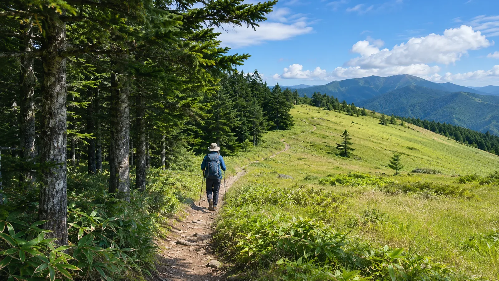
Vegetation symbols help identify types of plants and forests. How far you can see and whether a landmark will be visible are separate questions. Can you see the next junction or the ridge across the valley from the trail? Based on Japan’s topographic specifications and forest research consulted on October 28, 2026, we look at what the symbols can tell you and compare them with competition maps that represent visibility explicitly.
What broadleaf and conifer forest symbols mean
Under Japan’s specifications for 1:25,000 topographic maps, the broadleaf forest symbol applies to areas of dense broadleaf trees at least 2 m high. The same height and density criteria generally apply to conifers. For planted stands, either symbol can be used for trees under 2 m. Read the height criterion together with the exception.
The Geospatial Information Authority of Japan’s children’s guide gives examples including chinquapins, evergreen oaks, beeches and deciduous oaks. The rounded part of the symbol comes from the side view of a broadleaf tree. That helps you remember the symbol. The trees at any given site may have different shapes and branch heights.
The specifications also distinguish dense bamboo groves, thickets of dwarf bamboo such as sasa and shinodake, and areas of dense, low-growing pines such as haimatsu. Read the definition of each symbol before assuming an area is open. The rough-ground category includes bare ground, weedy areas, and wetlands or marshes with scattered aquatic plants.
The 2 m criterion here is tree height. It gives no sight distance and tells you nothing about whether foliage is above eye level. These definitions also leave open whether broadleaf or conifer forest offers a clearer view.
Visibility within a forest depends on more than tree type
A study published by the Forestry and Forest Products Research Institute had landscape architecture students assess secondary satoyama woodland with sawtooth and konara oaks in lowland Saitama Prefecture. The site was well managed and easy to walk through. Its results concern that type of site.
The assessment divides the forest scenery into upper, middle and lower layers. At mid-level, it looks at factors that affect how open the view is, including vegetation density and the scarcity of lower branches. Where the vegetation is in the forest matters as well as which trees are present.
The study compares aspects of how people experience the woodland and assigns weights to their contribution to its amenity value. The figures and tables report those weights. They give no sight distances, tree counts or probabilities of safe passage. The weights cannot be used to calculate visibility from a vegetation symbol.
Put the study alongside the map definitions and you can see that each asks a different question. Even where the map shows broadleaf woodland, shrubs or low branches may block the view and hide a landmark you need. The study leaves visibility in individual mountain areas to be checked separately.
Maps that depict visibility still distinguish it from ease of movement
For comparison, consider the Japan Orienteering Association’s Japanese version of ISOM 2017-2, revised in May 2023. This competition map specification represents how easily competitors can run and how well they can see, both relevant to choosing a route. Check the specifications for your own hiking map before using the same interpretation.
Symbol 406 represents dense vegetation that reduces running speed and visibility. Symbol 407 represents areas where visibility is good but undergrowth or cut branches slow runners down. The sample symbols depict 406 as an area of green shading and 407 as an area patterned with green lines.
The two symbols show that a clear view and easy movement are separate properties. Reading good visibility as an absence of obstacles would miss the information that 407 conveys. Its running-speed category gives no hiking time.
Check the name and legend of the map you’re using. Green shading or lines on a different map, including a map from Japan’s geospatial agency, can mean something else. Maps that use color for vegetation don’t necessarily represent visibility the same way.
Record what the map shows and what you need to see on the trail
First record the kind of map and the definition of the symbol. Then specify what you need to see on that section. A distant mountain, a trail sign and the branches beyond a junction each call for a different check. Describe the view you need with more detail than “good visibility.”
If the planned section is marked as broadleaf forest, record that in the map column. In another column, note that you haven’t checked whether the next junction is visible from the intended point. Either assuming that broadleaf forest offers a clear view or assuming that dense vegetation blocks it would leave that question unanswered.
When consulting an older photo, note where and when it was taken, which way the camera faced and how much of the view it shows. One photograph of the forest as a whole leaves the sightline from the trail uncertain. This is a way to organize observations. The number of photos to compare for better predictions has not been tested here.
If you reach the place and the landmark is hidden, remove the expected view from your evidence for your position. Check trail conditions and permission to pass separately from visibility. Use the comparison of maps to prepare for the intended trail, without using it to select an entry into the woods or a shortcut.
In brief: check visibility separately from vegetation type
The Geospatial Information Authority of Japan’s vegetation symbols identify vegetation or forest types and come with criteria for their use. The 2 m rule has an exception for planted woodland, and rough ground includes more than bare earth. Check sight distance and ease of walking separately.
The forestry study considers vegetation density and lower branches, while ISOM gives separate indications for visibility and how vegetation affects movement. Use each source within its scope. Record what you can read from the map, which landmark you need to see and what remains unverified.
References and sources
- Geospatial Information Authority of Japan, 2013 Specifications for 1:25,000 Topographic Maps, article 43, vegetation symbols 88–94, including the March 30, 2026 revision
- Geospatial Information Authority of Japan, Map Symbol: Broadleaf Forest, educational guide for children
- Forestry and Forest Products Research Institute, Assessing the Amenity Value of Secondary Satoyama Woodland
- Japan Orienteering Association, International Specification for Orienteering Maps, ISOM 2017-2, Japanese version revised May 20, 2023, section 2.2 and symbols 406/407