
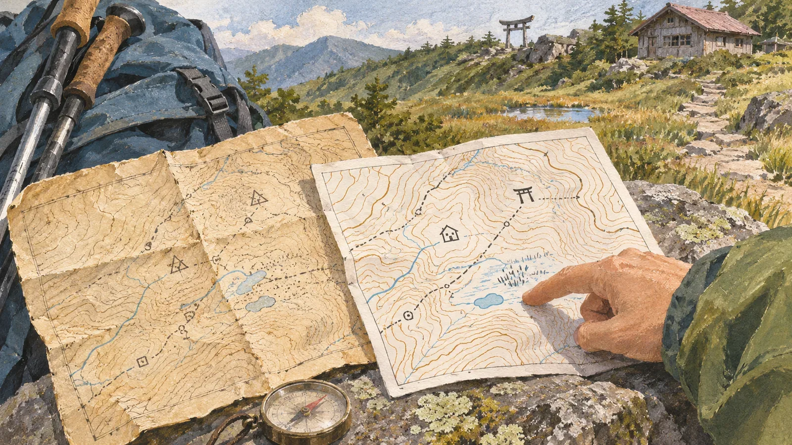
If a symbol appears on a new map but not on an old paper map, the feature may already have been there. The symbol might have been introduced later or the way a feature is drawn might have changed. Before comparing the sheets, check the map's conventions and the publication date of that specific sheet separately. GSI's introductions to map symbols and standards, the mapping specifications, and the archive's help pages show what to check and in what order.
The year a symbol was adopted can differ from the year a feature was built
GSI's page on new symbols explains that they first appear on 1:25,000 topographic maps published in the year of their introduction. Its examples include museums and libraries in 2002, residential care homes for older people and wind turbines in 2006, and natural disaster memorials in 2019. These years tell you when the symbols were introduced. The individual buildings and monuments have their own dates.
Suppose you compare two maps, one published before 2019 and the other afterwards, and the newer one shows a natural disaster memorial. The new symbol does not establish that the monument was built in or after 2019. To find when it was installed, look for a source about the particular monument.
The reverse inference can also mislead. A sheet published after a symbol was introduced cannot be assumed to show every eligible feature. If a symbol seems to be missing, consult the sheet's legend and rules for what is drawn before concluding that the feature did not exist. Keep this distinction if you plan to use facilities near a trailhead as landmarks.
If the colours differ, check which mapping standard each sheet uses
GSI explains that topographic map specifications govern the symbols, lettering and other features shown on a map. Its page on the 2013 standard describes the shift from three-colour printing to multicolour printing, with shaded relief, orange buildings, red national roads, and yellow prefectural roads. These differences in appearance can come from new cartographic conventions alone.
If a building on an old sheet lacks the orange you recognise from a newer one, colour alone does not establish whether the building existed. The same applies to roads. Check the legend or standard for each sheet and match features by what they represent. The colours need not match.
Lines that look similar also need to be identified before comparison. If you follow a boundary while looking for a trail, the differences you see farther along will refer to the wrong feature. Read each map on its own terms before deciding whether both show the same road or facility.
Separate the name of the standard, its revision date and the date of your sheet
A reference to the 2013 standard does not necessarily mean you are reading the text as it stood in 2013. GSI's published PDF of the 2013 specifications for 1:25,000 topographic maps opens with a notice of partial revision dated March 30, 2026. The year in the name of the standard and the date of a later revision are separate pieces of information. The notice is an example of that distinction, without going through every change in the 2026 revision.
Question 2-6 of the GSI Map and Aerial Photograph Viewing Service explains that letters such as B and C at the end of a list number indicate minor corrections made for a reprint. B is the first minor correction and C is another minor correction to the B edition. A new letter does not indicate a new field survey of all roads on the sheet.
Question 2-7 explains the note “administrative divisions” (行政區劃). Only the administrative divisions were revised from documentary sources. When reading edition information, check what the update actually covered as well as how recent it was. If something remains unclear, record the publication details and sheet title you can find, then look up the edition history.
If an old sheet has no legend, look up the specifications in use at the time
Question 2-2 of the help page explains how to look up a missing legend. If the map names its standard, open that document to check. If it gives no name, use the remarks and year of survey to find a standard from around the same time. The date can guide a search, but does not prove which standard was used.
Our editorial team suggests noting the old sheet's title, scale, publication details and standard, and whether it has a legend. Leave uncertain fields blank and avoid filling them with guesses. Then choose the area you want to compare and identify landmarks and names on both sheets. First make sure you are comparing the same feature, instead of lining up page margins or areas of similar colour.
Note differences in what a symbol means or how it is drawn, in the position or information mapped, and whose cause is still unclear. Avoid recording new symbols as new construction. If the mapped information still differs after you check the symbols, ask whether the terrain or facility might have changed. One comparison cannot establish the reason.
Similarity between old and new maps is also insufficient to confirm that a planned hiking trail is currently passable. Read the conventions and check route information and access conditions near your departure as two separate tasks. Keep the old map to compare past terrain and mapping practices. Plan today's hike using current sources as well.
Establish how to read both maps, then compare the features
Differences between old and new paper maps can reflect new symbols or revised drawing rules as well as changes on the ground. Distinguish the standard's name and revision date from the publication and correction information for the sheet. If the legend is missing, check the standards from the time. Compare like with like, leave unexplained differences open, and check recent notices for current trail conditions.
References and sources
- Geospatial Information Authority of Japan (GSI): Newly introduced map symbols
- GSI Kids: Map symbols and topographic map specifications
- GSI: 2013 specifications for 1:25,000 topographic maps, opening notice of the March 30, 2026 partial revision
- GSI: Help for the Map and Aerial Photograph Viewing Service, Q2-2, Q2-6 and Q2-7