
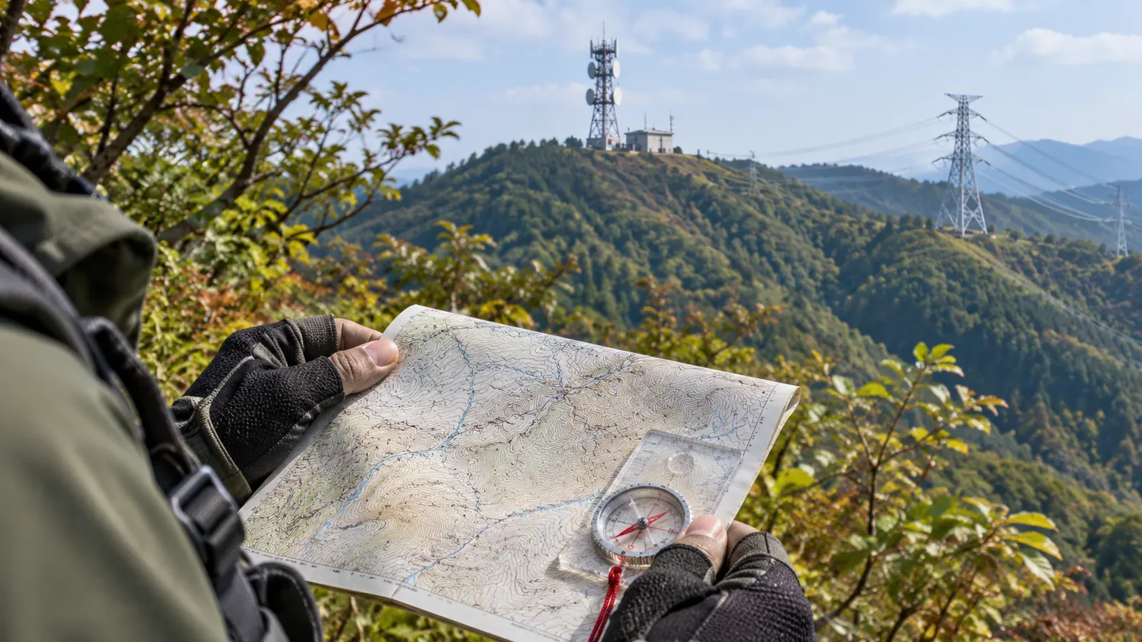
If you see a radio tower or power line, ask which landmark on the map it could be. One conspicuous tower cannot confirm your position, and a transmission line does not tell you whether you can walk along it. Check the symbol and the conditions for mapping it, then use the shape and direction of the terrain to narrow down your position. GSI's mapping standards and the Japan Sport Council's mountain training material show how to use towers and power lines as visible reference points.
Distinguish the radio tower symbol from the tall tower symbol
GSI's Kids page explains that the radio tower symbol is used for major facilities that transmit or receive television, radio or other wireless signals. The symbol combines an antenna with marks for radio waves. Since it applies to major installations, some communications structures you see may not appear on the map.
GSI's 2013 specifications for 1:25,000 topographic maps include a separate symbol, 69, for tall towers. It covers structures approximately 60 m or more in height, such as radio and observation towers, and excludes power pylons. Symbols can depend on both height and use. A steel frame in the distance need not match the radio tower symbol.
For symbol 131, the radio tower's location is the lowest point of the central upright. Read the bottom of that line rather than the tips of the waves at the top. This identifies the reference point in the drawing. It gives no measurement of position error in the field or of how close it is safe or permitted to go. Reading the symbol is one step; establishing your own position is another.
The circles along the line do not locate individual pylons
Transmission line symbol 132 is a solid line with small circles on both sides. The circles are placed at 6.0 mm intervals on the map and can be omitted where the line overlaps roads or similar features. The line is also omitted inside road, railway and building symbols. Read both the pattern and the conditions under which parts of it can be left out.
The circles follow a spacing rule on the printed map. Do not count them as if each one corresponded to a pylon on the ground. You cannot place yourself at “the third circle” or measure pylon spacing from the pattern. A gap in the mapped line also does not necessarily mean the transmission equipment ends there.
When you find a transmission line, look at its relationship to the terrain. Does it cut across a ridge, span a valley, or pass near a specific part of the trail? These are useful questions to note before leaving. A transmission line has a different symbol from a road, and its presence does not show that a path runs below it or that it is walkable.
Separate what appears on the map from current conditions
Article 74 says the supplementary data, including radio tower symbol 131 and transmission line symbol 132, draw on information from 1:25,000 topographic maps collected before these specifications took effect. Some information has not been checked or updated. A line or symbol on the map alone says nothing about whether the installation's current status was verified.
In Q3-2 of its Digital Japan Basic Map FAQ, GSI says it previously omitted transmission lines on its web maps because the data was hard to verify, but now displays them. That was the answer published when checked on October 29, 2026. The previous omission does not mean they are still absent everywhere.
The point is to read the policy on what gets displayed separately from the status of each installation. The FAQ does not mean that every line was checked on the day you read it. Pay attention to the type and date of your map. If a landmark is missing in the field, stay off unverified ground instead of setting out to find a tower that matches the map.
Compare towers and power lines with the terrain
The Japan Sport Council's manual for high school mountaineering instructors says to learn which symbols represent the features you see and how they can help, beyond recalling their names. A model answer identifies transmission lines, tall towers and radio towers as useful landmarks for working out your position. It also says answers depend on the area and the route. The most useful landmark can vary from one mountain to another.
The manual gives an example in which knowing that you are on a ridge leaves several possibilities, but its direction narrows them down. Before setting out, our editorial team suggests noting what towers or lines you expect to see, which landform they are likely to be on, and how they relate to your route. Keeping track of what fits and what remains unclear is more reliable than settling on a position from a single symbol.
If a transmission line crosses your planned ridge path, check both whether a line is visible and which part of the ridge path you could be on. The first conspicuous line you see may span another valley. When you see a distant tower, keep the tower's position separate from the place you are observing it from.
Stay on the trail when checking the relationship to a visible structure. There is no need to approach the pylon to work out your location. If the terrain or the trail does not fit what you expected, check your position again before continuing. This is a way to prepare for using landmarks. Access to equipment or maintenance roads needs separate permission.
Use towers as possible landmarks and trace power lines across the terrain
Check the distinction between radio towers and tall towers and avoid treating circles on a transmission line as pylon locations. Supplementary data may not have been checked or updated, so the map alone cannot confirm the installation's condition. When you see a tower or power line, compare it with the terrain, direction and planned route to narrow down your location. Going towards the mapped symbol does not establish where you are.
References and sources
- Geospatial Information Authority of Japan (GSI): 2013 specifications for 1:25,000 topographic maps, tall tower symbol 69, Article 74, radio tower symbol 131 and transmission line symbol 132, printed pp. 31 and 58
- GSI Kids: Map symbol for a radio tower
- GSI: FAQ on the Digital Japan Basic Map (Map Information), Q3-2, checked October 29, 2026
- Japan Sport Council: Safe and Enjoyable Mountaineering, a manual for high school mountaineering instructors, Part 3, Chapter 4, Map Reading and Navigation, printed pp. 53 and 55