
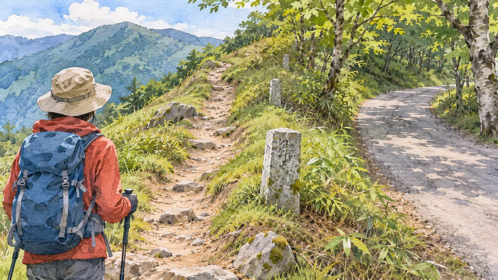
Where a boundary comes close to what looks like a trail, simply following the line with your eyes makes it easy to switch symbols. Identify the boundary first, then trace the walking route separately. The examples here mainly use GSI's specifications for printed 1:25,000 topographic maps. Administrative boundaries and special area boundaries use different symbols and follow different rules where they overlap trails. Check the legend and display notes for any online map or hiking app you use.
Identify whether the line is a route or the edge of an area
GSI's map-symbol page for municipal boundaries says that the line marks the limit of a city, ward, town or village. It is omitted where it coincides with a prefectural boundary or the boundary of a general subprefectural bureau or a subprefectural bureau in Hokkaido. This rule is for overlapping boundaries. An overlap with a trail need not be treated the same way. GSI also says that administrative boundaries not yet settled between the municipalities are omitted. An absent line cannot tell you whether there is a boundary.
GSI's footpath page describes a symbol for roads less than 1 m wide, including routes often used for hiking or sightseeing, necessary links between settlements, and routes to important places. It helps you recognise a type of walking route, but many hiking routes fall outside this width category.
In Article 26 of the 2013 specifications for 1:25,000 topographic maps, footpath symbol 21 appears in the road table as a dashed line with equal-length dashes. Article 57 gives different patterns for administrative boundaries, with elements such as dots. Find a stretch where the pattern is easy to see and compare it with the legend to identify the symbol.
When an administrative boundary is drawn beside a road
Article 56 defines administrative boundaries as the limits of administrative areas. Article 57 generally requires them to be shown in their true position. If a boundary follows the centre of a road or river, it may be shifted to either side on the map. The position used for legibility can differ from the boundary on the ground.
A boundary and a walking route may therefore be drawn side by side. Do not read the two lines as two parallel paths you can walk. A boundary drawn on the right of a road need not lie to the right on the ground. When planning a hike, identify the route you can use.
This rule allows a shift when the boundary follows the centre of a road or river. The shift does not apply everywhere, and the gap on the map does not give a fixed offset or the width of walkable ground. When lines run close together, identify them separately and check where each one leads on either side.
A special area boundary may disappear where it overlaps another symbol
The specifications have a separate symbol, 95, for special area boundaries. The table in Article 47 says to omit the boundary where it overlaps a road, railway, shoreline, earthen cliff or similar feature. This rule removes the overlapping section from the map, whereas an administrative boundary can be shifted to the side of a road.
A gap in a special area boundary at a road need not mean that the boundary ends. If you lose track of a trail, do not fill the gap with the special area boundary that continues past it. Trace the boundary and check the continuity of the walk as two separate tasks.
The Japan Sport Council's manual for high school mountaineering instructors explains that boundaries around parks, golf courses and similar areas often have no visible counterpart on the ground. It warns against reading one as a path. A near-miss example describes someone who mistook a special area boundary for a footpath and tried to check a junction. The example concerns a special area boundary. The administrative boundary rules are separate.
Follow the trail before and after the overlap
Before the hike, our editorial team suggests looking at the trail before the overlap, the part where the lines approach or coincide, and the trail beyond it. In each part, check the legend for a footpath, another kind of road, an administrative boundary or a special area boundary. If you cannot identify the lines, leave the section to be checked and avoid filling gaps in a trail with a boundary line.
At an apparent fork, identify each branch separately. If the only line that leaves the trail is a boundary, the map gives no basis for calling it a fork between two hiking trails. If the path seems to turn just beyond the boundary, follow the trail symbol rather than the direction of the boundary. This helps identify questions on the map. Current access needs a separate check.
If you cannot trace the route beyond a point, check the latest route information from the trail manager or another responsible authority. Avoid planning to cut across an unfamiliar slope or walk along an area's perimeter based on the way the lines look. In the version you share with your group, name the trail you verified and flag any unclear sections. “Follow the boundary” is too vague.
Zooming in does not confirm what a line represents. Compare the line with the legend, the surrounding terrain and the connections between paths. Other maps can use different conventions, so check how each app layers and omits features rather than applying the rules for printed maps directly.
Check the boundary and the trail independently
Start by identifying the type of boundary. On a GSI printed map, an administrative boundary can be moved aside when it follows the centre of a road, while a special area boundary is omitted where it overlaps a road or certain other features. Two nearby lines need not be two trails, and a boundary cannot fill a gap in a trail. Trace the path on either side of the overlap and look up recent route information for any section that remains unclear.
References and sources
- Geospatial Information Authority of Japan (GSI): 2013 specifications for 1:25,000 topographic maps, Articles 1–2, footpath 21 in Article 26, special area boundary 95 in Article 47, and Articles 56–57
- GSI Kids: Map symbol for municipal boundaries
- GSI Kids: Map symbol for footpaths
- Japan Sport Council: Safe and Enjoyable Mountaineering, a manual for high school mountaineering instructors, Part 3, Chapter 4, Map Reading and Navigation, printed p. 54