
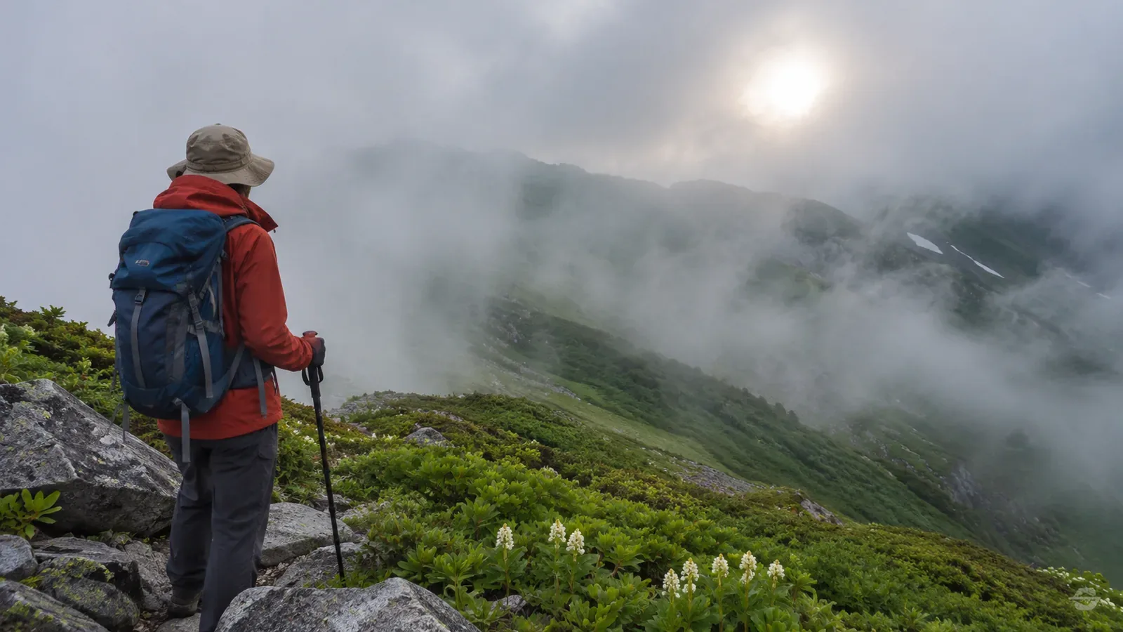
Sunshine can thin some fog, while other fog persists until the broader weather changes. In stagnant winter conditions, it can last for days. What Japanese hikers call gasu can mean being inside a cloud that covers the mountain. Use the way fog changes to plan for the possibility that it stays.
Some fog clears in sunshine, some needs a change in weather
The Japan Meteorological Agency (JMA) defines fog as suspended water droplets reducing horizontal visibility below 1 km. Mist reduces it to at least 1 km and under 10 km through droplets or damp particles. If visibility differs by direction, the shortest distance is generally used. Dense fog over land means visibility of about 100 m or less.
The EUMeTrain meteorology guide explains that radiation fog can form as the ground cools on clear, moist nights with light winds. Sunlight can reach the ground through thinner patches, warm it and thin the fog. This effect may be weaker in midwinter. In summer, short nights may allow morning sunshine to break fog into patches before it grows thick. The U.S. National Weather Service in Louisville also notes that valley fog can clear quickly once sunshine starts to evaporate it. Neither source gives a clearing time for a particular mountain.
EUMeTrain notes that in stagnant winter conditions, radiation fog or low stratus formed by lifted fog can last several days. Advection fog forms when warm, moist air moves over a cold surface and can persist while the larger weather pattern remains in place. A front bringing a new air mass, changes in wind and turbulence or clouds overhead can help it dissipate. The time since sunrise alone doesn’t tell you when the fog in front of you will clear.
Mountain fog can mean being inside a cloud
The Obihiro Weather Station explains that air forced up a mountain slope can produce changes in the weather and help clouds form or grow. It describes gasu as being inside a cloud covering the mountain, which can happen suddenly. The cloud looks different from below than it does when you’re inside it.
EUMeTrain distinguishes fog from stratus by the height of the cloud base and shows how heat from the ground can lift fog into low cloud. The view can clear at the foot of the mountain while clouds remain higher up. Check the place and time of field reports before applying them to a ridge you’ll be walking.
Sunshine duration and visibility are separate measurements. JMA measures sunshine duration using direct irradiance at the surface of at least 0.12 kW/m². Visibility is how far you can see horizontally. Check whether you can see the path and footing even when the light brightens.
Make a plan that works if the fog stays
Before leaving, talk through what you’ll do if fog lasts longer than expected. You can plan without classifying the fog or calculating when it will clear. On the map, identify sections where you rely on distant landmarks, junctions and return routes. Choose places where you can shorten or cancel the hike.
If you wait, check whether you can do so safely, stay warm in wind or rain and still have time to return. A deadline is an upper limit. Review the plan sooner if the weather worsens or someone feels unwell. Base your decision on whether you can confirm the route and footing at the time.
The weather category of dense fog over land uses a guideline of about 100 m or less. Trail safety also depends on the terrain and whether you can navigate. Japan’s National Police Agency warns that poor visibility can cause route-finding errors and falls. If you think you are lost, avoid pressing on blindly and be ready to end the hike early. Confirm the route and footing before going back.
Make checks at a safe place to stop
The Obihiro Weather Station suggests asking someone below, if you can reach them by phone, how far up the mountain the cloud extends. Getting a signal and being able to locate yourself on your device are separate issues. Japan’s police warn that many mountain areas lack coverage. Prepare maps and other information before departure and check any electronic location against terrain and signs.
To use a map or phone, stop on stable footing where you won’t block the trail. If you can’t confirm your position or see the ground, avoid walking on just to find somewhere easier to use the device. Assess the immediate hazards and share what you know about position and route. Practise using a map and phone together at home or in a safe place in daylight.
Summary: plan for fog that may persist
Sunshine can thin some fog, while other fog persists until the weather changes. Discuss in advance when you’ll shorten the route, turn back or wait. On the trail, check your position, footing, visibility, physical condition and remaining time. Review the route while you can still confirm a safe way back.